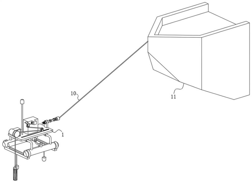
Floating type marine surveying and mapping device with seawater monitoring function
A surveying and mapping device and a floating technology, applied in the field of floating marine surveying and mapping devices, can solve the problems of economic loss, submersion of the hull, hidden danger of use, etc., and achieve the effects of increased weight, difficult to detach, and stable connection
- Summary
- Abstract
- Description
- Claims
- Application Information
AI Technical Summary
Problems solved by technology
Method used
Image
Examples
Embodiment Construction
[0033] The present invention will be further described below in conjunction with the examples.
[0034] The following examples are used to illustrate the present invention, but cannot be used to limit the protection scope of the present invention. The conditions in the embodiment can be further adjusted according to the specific conditions, and the simple improvement of the method of the present invention under the premise of the concept of the present invention belongs to the protection scope of the present invention.
[0035] see Figure 1-11 , the present invention provides a floating marine surveying and mapping device with seawater monitoring function, including surveying and mapping equipment connected to the tail of the hull 11 through steel strands 10, the surveying and mapping equipment includes a carrier plate 1, and the bottom surface of the carrier plate 1 is fixed by four Part 2 is fixedly connected to two anti-rust steel frames 3, and two buoys 4 are connected to ...
PUM
 Abstract
Description
Claims
Application Information
 - R&D Engineer
- R&D Manager
- IP Professional
- Industry Leading Data Capabilities
- Powerful AI technology
- Patent DNA Extraction
Browse by: Latest US Patents, China's latest patents, Technical Efficacy Thesaurus, Application Domain, Technology Topic, Popular Technical Reports.
© 2024 PatSnap. All rights reserved.Legal|Privacy policy|Modern Slavery Act Transparency Statement|Sitemap|About US| Contact US: help@patsnap.com


