Road surface unevenness detection method, device, system, medium and equipment
A technology of uneven road surface and detection method, which is applied in image data processing, 3D modeling, instruments, etc., can solve the problems of unsuitable unstructured road surface and low efficiency, so as to reduce the research and development cycle and cost, improve accuracy, Effect of low measurement error
- Summary
- Abstract
- Description
- Claims
- Application Information
AI Technical Summary
Problems solved by technology
Method used
Image
Examples
Embodiment 1
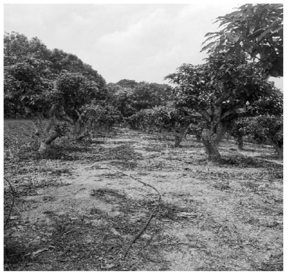
[0069] The current road surface roughness measurement is mainly aimed at structuring the road, but based on the current structure of the human impact of road roughness there is a large factor, accuracy is not high, poor stability and is not suitable for measuring unstructured road problems. Based on this, the present embodiment discloses an embodiment suitable for mountain fruit tea and other non-structural Videos pavement road surface roughness detection method, and a high road roughness increases the detection efficiency and detection stability.
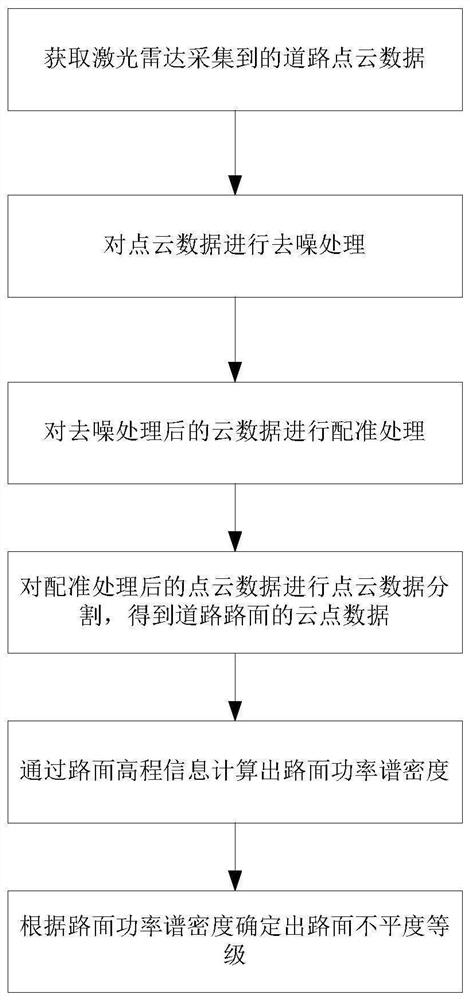
[0070] For the present embodiment for ease of understanding, embodiments of the first embodiment of the present application xx disclosed method is described in detail, see figure 1 The method of detecting the road surface as shown in a flowchart of unevenness, the method comprising the steps of:
[0071] S1, following the obtaining the mobile platform is mounted on a mobile platform moves lidar acquired point cloud data of the road. Fi...
Embodiment 2
[0104] This embodiment discloses a road-free detection device, including point cloud data acquisition module, denoising processing module, registration process module, division module, elevation information extraction module, and road uneasiness determination module, and the functions of each module are as follows:
[0105] Point cloud data acquisition module is used to obtain road point cloud data collected by laser radar mounted on the mobile platform.
[0106] Denoising processing module for denoising point cloud data;
[0107] The registration process module is used to register the cloud data after the denoising treatment to increase the amount of traffic of the road point;
[0108] The segmentation module is used to point the point cloud data after the registration process, and obtain the point cloud data of the road surface;
[0109] The elevation information extraction module is used to extract road elevation information from the point cloud data of the road pave;
[0110] ...
Embodiment 3
[0116] This example discloses a pavement uneven detection system, such as Figure 9 As shown in, the host, laser radar, mobile platform, and power supply are included.
[0117] Laser radar is mounted on the mobile platform for collecting road point cloud data when moving with the mobile platform. In the present embodiment, the mobile platform can be a track transport vehicle, and the laser radar is fixed to the track transport vehicle at a certain angle with a laser radar mounting frame, and the laser radar can employ VLP-16 laser radar.
[0118] Laser radar is connected to the upper machine, which is used to send the captured road point cloud data to the host computer.
[0119] The mobile platform is connected to the host machine, and the mobile platform is used to feed back the host. In this embodiment, the mobile platform feeds back the mobile information to the host computer, when the mobile platform starts moving, the host machine controls the laser radar to start collecting w...
PUM
 Abstract
Description
Claims
Application Information
 - R&D
- Intellectual Property
- Life Sciences
- Materials
- Tech Scout
- Unparalleled Data Quality
- Higher Quality Content
- 60% Fewer Hallucinations
Browse by: Latest US Patents, China's latest patents, Technical Efficacy Thesaurus, Application Domain, Technology Topic, Popular Technical Reports.
© 2025 PatSnap. All rights reserved.Legal|Privacy policy|Modern Slavery Act Transparency Statement|Sitemap|About US| Contact US: help@patsnap.com


