Three-dimensional geologic model modeling method
A model modeling and three-dimensional geological technology, applied in the field of three-dimensional geological model modeling, can solve the problems of long modeling time, inability to directly import mainstream design software, expensive three-dimensional geological models, etc., and achieve the effect of improving modeling accuracy
- Summary
- Abstract
- Description
- Claims
- Application Information
AI Technical Summary
Problems solved by technology
Method used
Image
Examples
Embodiment 1
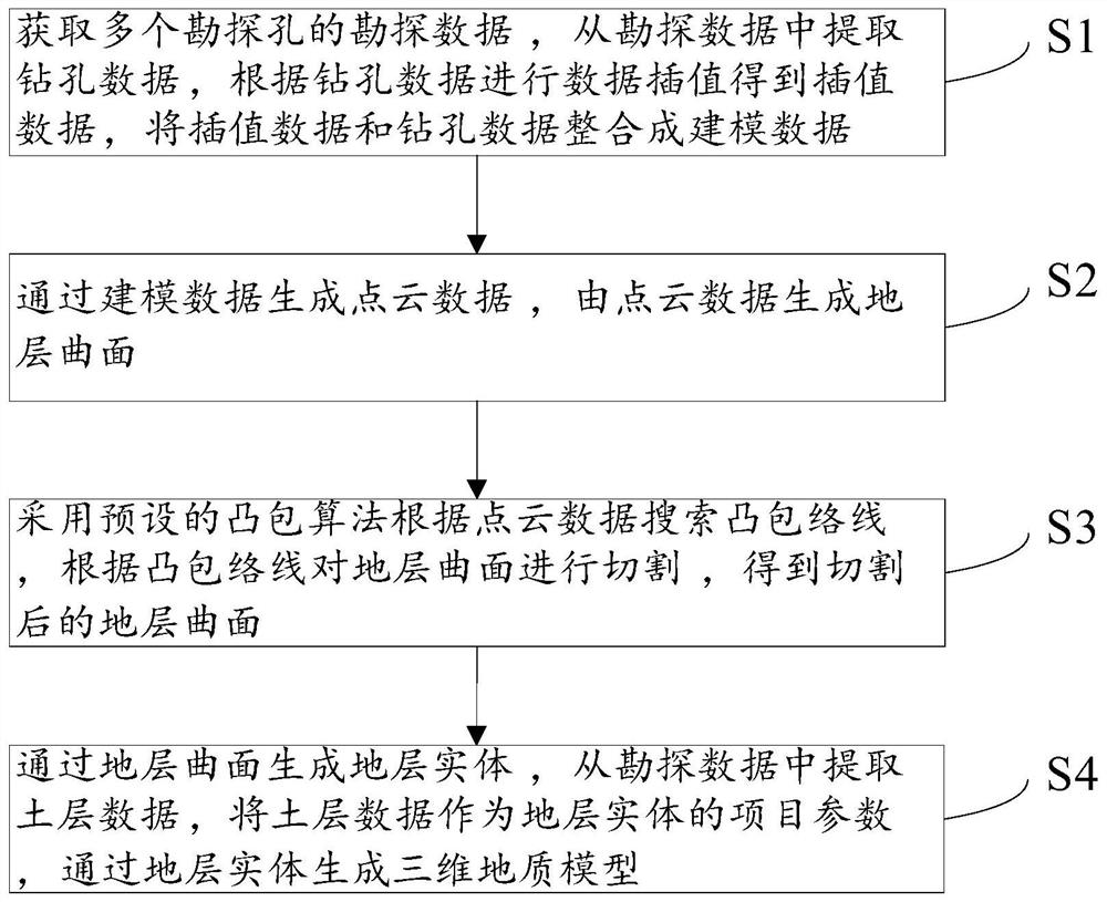
[0139] Embodiment 1, the present invention can generate a more realistic three-dimensional geological model through the above S1 to S4. refer to Figure 13 , the main modeling process of the present invention is:
[0140] (1) Extract borehole data, adopt the method from step S101 to step S103 to establish the sequence applicable to all exploration holes, until the layered number of each borehole is consistent with the sequence to obtain the processed borehole data, the processed The borehole data are used for kriging interpolation, the convex envelope is found by the convex hull algorithm, the physical and mechanical property data of each layer of soil is extracted, and the borehole entity is generated. Among them, after a large number of interpolations are realized by the kriging interpolation method, it is necessary to judge whether the formation surfaces to be generated are interspersed with each other, that is, to use the constraint surface in step S1 for data correction ...
PUM
 Abstract
Description
Claims
Application Information
 - R&D
- Intellectual Property
- Life Sciences
- Materials
- Tech Scout
- Unparalleled Data Quality
- Higher Quality Content
- 60% Fewer Hallucinations
Browse by: Latest US Patents, China's latest patents, Technical Efficacy Thesaurus, Application Domain, Technology Topic, Popular Technical Reports.
© 2025 PatSnap. All rights reserved.Legal|Privacy policy|Modern Slavery Act Transparency Statement|Sitemap|About US| Contact US: help@patsnap.com


