Coastal mud flat salinity inversion method based on remote sensing satellite image
A technology of remote sensing satellites and tidal flats, applied in the field of remote sensing, can solve problems such as inapplicability, non-openness, unfavorable extraction of tidal flat salt content, etc., to avoid time-consuming and labor-intensive, improve collection efficiency, and save labor costs
- Summary
- Abstract
- Description
- Claims
- Application Information
AI Technical Summary
Problems solved by technology
Method used
Image
Examples
Embodiment 1
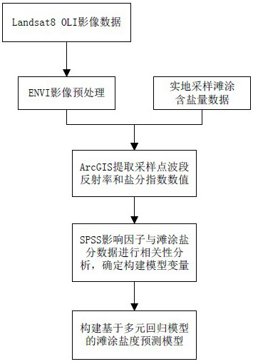
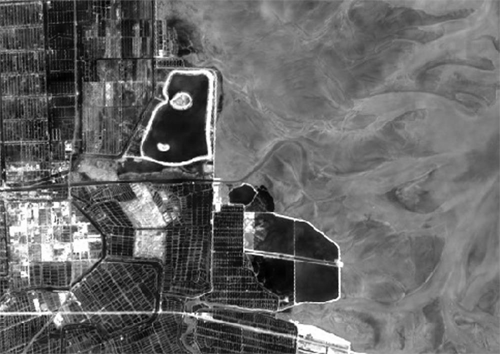
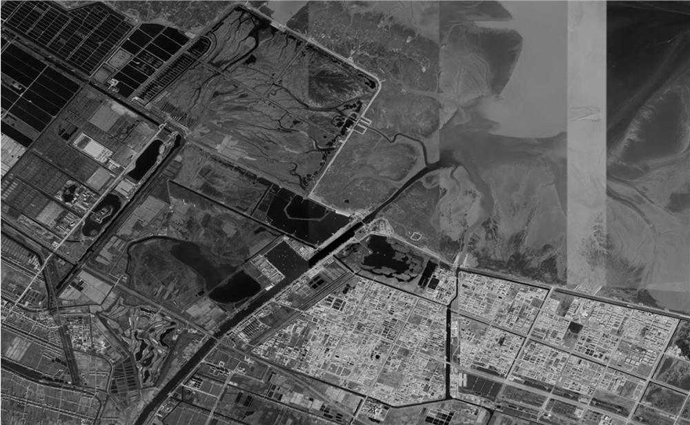
[0036] Embodiment 1: as Figure 1~6 As shown, the coastal beach salinity retrieval method based on remote sensing satellite images specifically includes the following steps:
[0037] S1: Select the data source and obtain image data; at the same time obtain the sampled tidal flat salinity data in the area to be studied; the data source in the step S1 is Landsat8 OLI remote sensing image; it can be directly obtained from the geospatial data cloud (http: / / www .gscloud.cn / ) to download image data; Landsat8 OLI images cover 11 bands of data, Land Imager (OLI) includes 9 bands, and Thermal Infrared Sensor (TIRS) includes 2 thermal infrared bands; the principle of image data selection is that the image is clear No noise, less cloud cover, image imaging time and tidal flat sampling time as close as possible to ensure the best correspondence between the salinity of the sampling point and the spectrum on the image; The band introduction is shown in Table 1 below;
[0038] Table 1 Intr...
PUM
 Abstract
Description
Claims
Application Information
 - Generate Ideas
- Intellectual Property
- Life Sciences
- Materials
- Tech Scout
- Unparalleled Data Quality
- Higher Quality Content
- 60% Fewer Hallucinations
Browse by: Latest US Patents, China's latest patents, Technical Efficacy Thesaurus, Application Domain, Technology Topic, Popular Technical Reports.
© 2025 PatSnap. All rights reserved.Legal|Privacy policy|Modern Slavery Act Transparency Statement|Sitemap|About US| Contact US: help@patsnap.com


