Satellite remote sensing monitoring method for cotton canopy nitrogen
A technology of satellite remote sensing and nitrogen, which is applied in chemical method analysis, measuring devices, preparation of test samples, etc., and can solve problems such as easy cotton boll drop, reduced number of leaves, and short cotton plants
- Summary
- Abstract
- Description
- Claims
- Application Information
AI Technical Summary
Problems solved by technology
Method used
Image
Examples
Embodiment 1
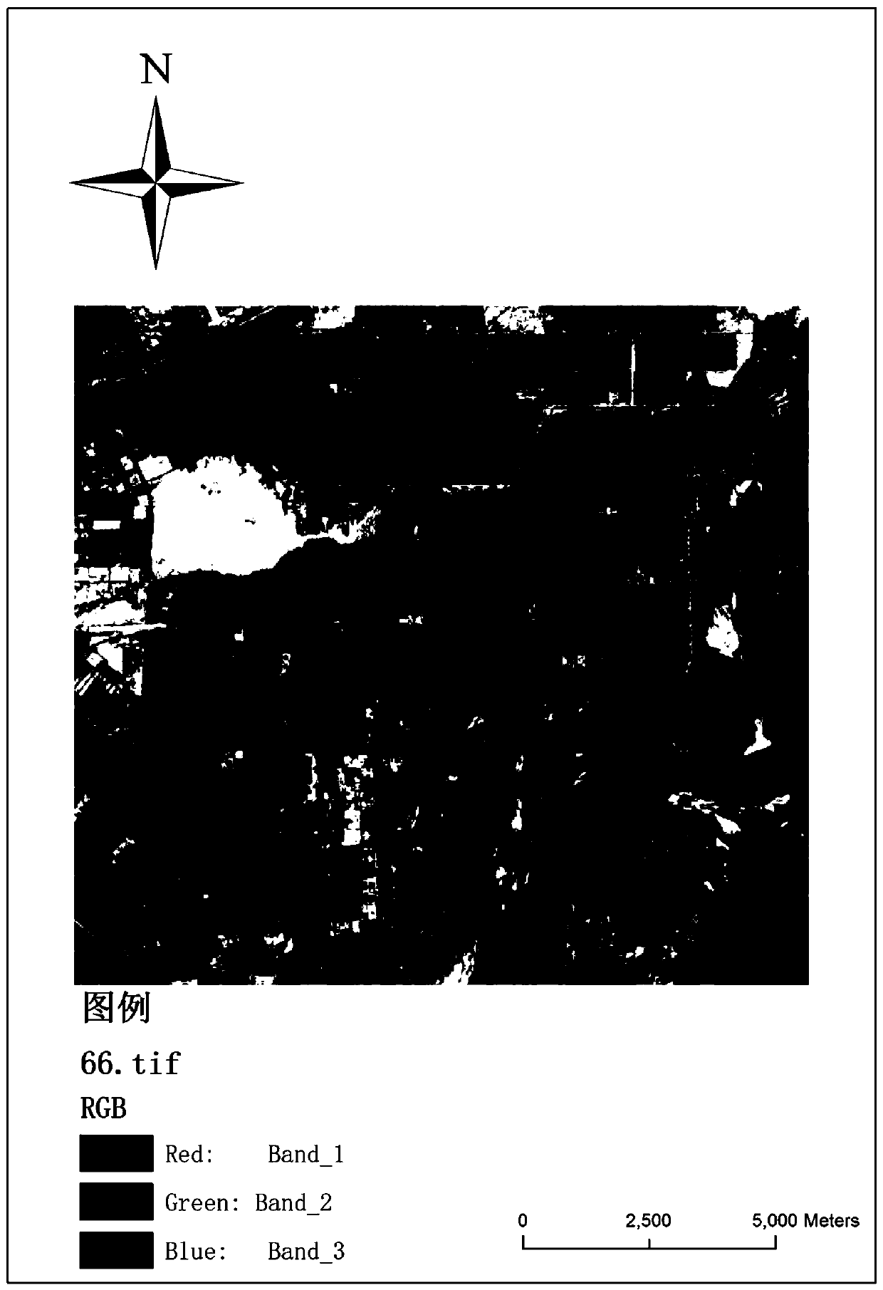
[0025] The research area in this study is selected from ten clusters of cotton fields in Alar City, such as figure 1 As shown, there are many rivers around Alar City that provide water sources, so agriculture is mainly irrigated with water from the Tarim River or Duolang River. Because there is a large desert near the city of Alar, the highest temperature in a day can reach 35°C, and the lowest temperature is minus 28°C. It is understood that there are 6.57 thousand hectares of fields in the Alar reclamation area. The study area is based on a year. There is very little rain in summer and little snow in winter. Almost every day is sunny and sunny, resulting in low annual precipitation and high evaporation. It is known that the precipitation in Alar in a year The evaporation is 40.1~82.5 mm, and the evaporation is 1876.6~2558.9 mm. As a light-loving plant, cotton, within a certain intensity range, the light and intensity increase with the increase of the light intensity, so cot...
PUM
| Property | Measurement | Unit |
|---|---|---|
| height | aaaaa | aaaaa |
Abstract
Description
Claims
Application Information
 - Generate Ideas
- Intellectual Property
- Life Sciences
- Materials
- Tech Scout
- Unparalleled Data Quality
- Higher Quality Content
- 60% Fewer Hallucinations
Browse by: Latest US Patents, China's latest patents, Technical Efficacy Thesaurus, Application Domain, Technology Topic, Popular Technical Reports.
© 2025 PatSnap. All rights reserved.Legal|Privacy policy|Modern Slavery Act Transparency Statement|Sitemap|About US| Contact US: help@patsnap.com


