Operation method for generating GPS track by using satellite image
A technology of satellite imagery and GPS equipment, applied in satellite radio beacon positioning system, navigation, mapping and navigation, etc., can solve problems such as large errors, getting lost, endangering life and property safety, etc.
- Summary
- Abstract
- Description
- Claims
- Application Information
AI Technical Summary
Problems solved by technology
Method used
Image
Examples
Embodiment 1
[0036] According to the data, rare earth ore prospecting clues were found in an uninhabited area in Ejina Banner, Alxa, Inner Mongolia, and field surveys were required. The location only had one latitude and longitude coordinates, and it was necessary to reach the destination by itself.
[0037] (1) if figure 2 As shown, according to the given latitude and longitude coordinates, mark the destination and station location on Google Earth. Generally, dirt roads or ruts can be seen in places where vehicles can pass, but where there are no roads or ruts, even if they are flat, they will It is impossible to confirm that the vehicle can pass and may cause danger;
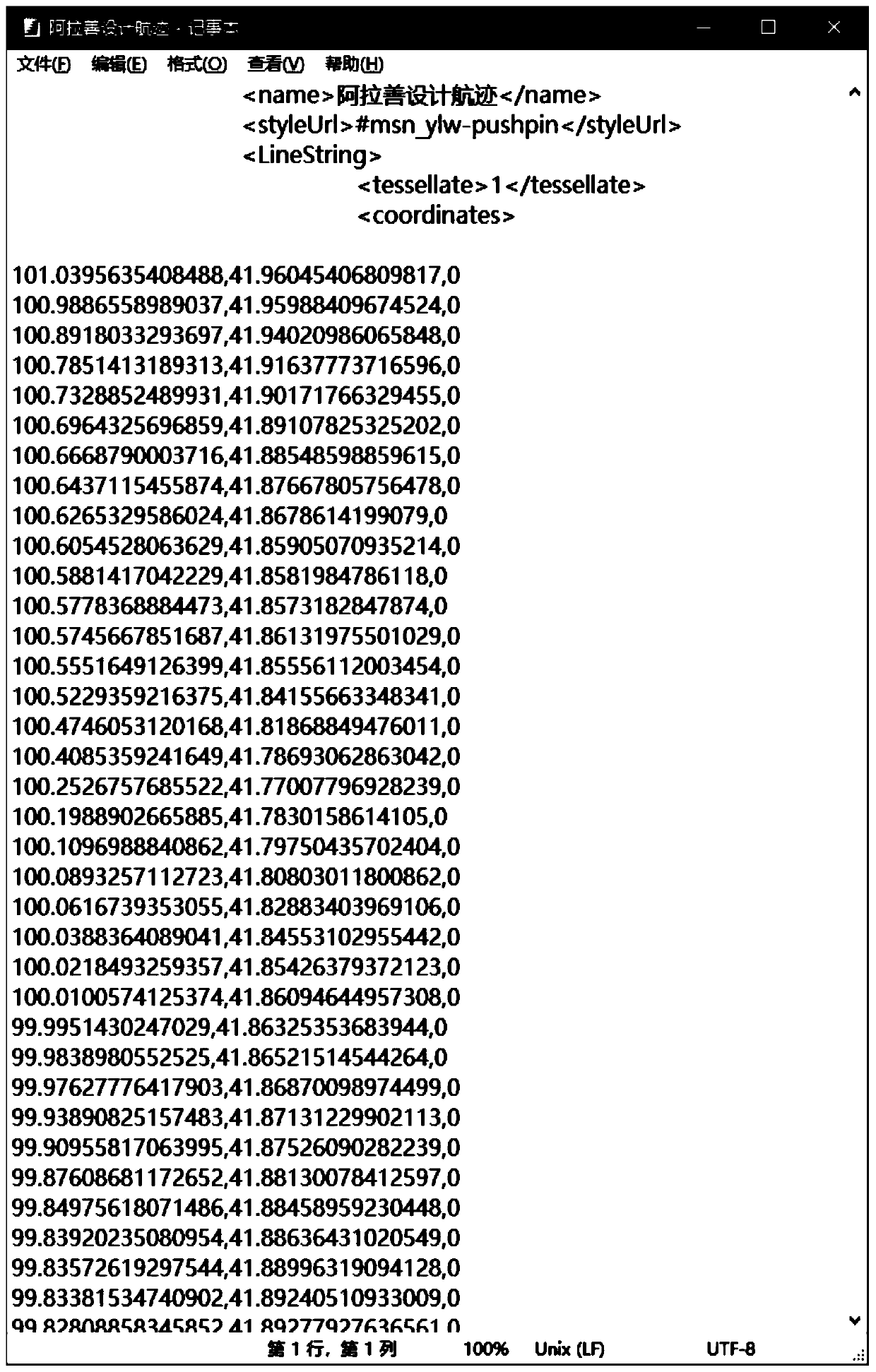
[0038] (2) if image 3 As shown, starting from the station, carefully check the satellite image, continuously draw the path that the vehicle can pass to the destination, and save the drawn path as a kml format file;
[0039] (3) if Figure 4 As shown, open the saved kml format file with notepad, you can see ...
Embodiment 2
[0046] According to the task requirements, a large-scale field mapping work is required for a rare earth prospecting prospecting area in the central Daxinganling Mountains, Inner Mongolia.
[0047] (1) if Figure 7 As shown, after viewing satellite images and field surveys, the area is covered by forests, with extremely poor visibility and easy to get lost, and there is no network signal in this area, and it is very dangerous to be unable to contact the outside world after getting lost;
[0048] (2) if Figure 8 As shown, through satellite images and regional data, the mapping route is designed on Google earth. The principle of designing the route is to design the route on the ridge as much as possible. First, it is easier to climb the mountain; The drawing efficiency is high and the accuracy is high. Third, when the work is completed, the drawing working group can return to the road through the designed route;
[0049] (3) the route designed on Google earth is con...
PUM
 Abstract
Description
Claims
Application Information
 - R&D
- Intellectual Property
- Life Sciences
- Materials
- Tech Scout
- Unparalleled Data Quality
- Higher Quality Content
- 60% Fewer Hallucinations
Browse by: Latest US Patents, China's latest patents, Technical Efficacy Thesaurus, Application Domain, Technology Topic, Popular Technical Reports.
© 2025 PatSnap. All rights reserved.Legal|Privacy policy|Modern Slavery Act Transparency Statement|Sitemap|About US| Contact US: help@patsnap.com


