
Optical remote sensing automatic identification method for potential landslide considering InSAR deformation factors

A kind of optical remote sensing and potential technology, which is applied in the direction of material analysis, scientific instruments, and electromagnetic wave re-radiation through optical means, and can solve problems such as strong subjectivity and low degree of automation

Active Publication Date: 2019-04-12
CHANGAN UNIV
View PDF7 Cites 17 Cited by
  • Summary
  • Abstract
  • Description
  • Claims
  • Application Information

AI Technical Summary

Problems solved by technology

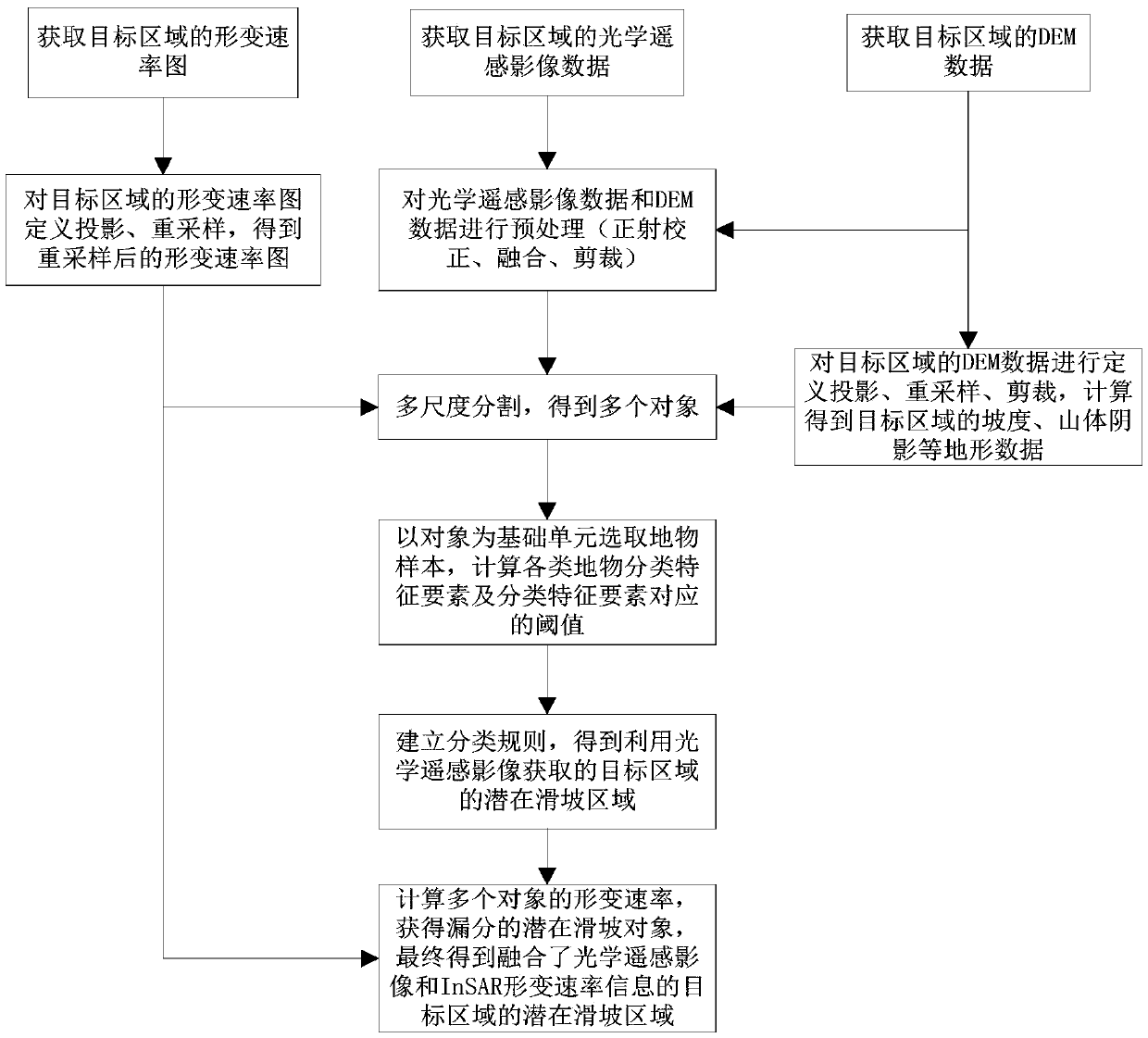
[0003] The method for identifying landslides in optical remote sensing images in the prior art can only provide semi-quantitative landslide identification results, and there are missed and wrong judgments, and InSAR deformation rate information for landslide identification is highly subjective and not automatic. Problem, the object of the present invention is to provide a kind of optical remote sensing potential landslide automatic identification method considering InSAR deformation factor

Method used


Image

  • Optical remote sensing automatic identification method for potential landslide considering InSAR deformation factors
  • Optical remote sensing automatic identification method for potential landslide considering InSAR deformation factors
  • Optical remote sensing automatic identification method for potential landslide considering InSAR deformation factors

Examples


Embodiment

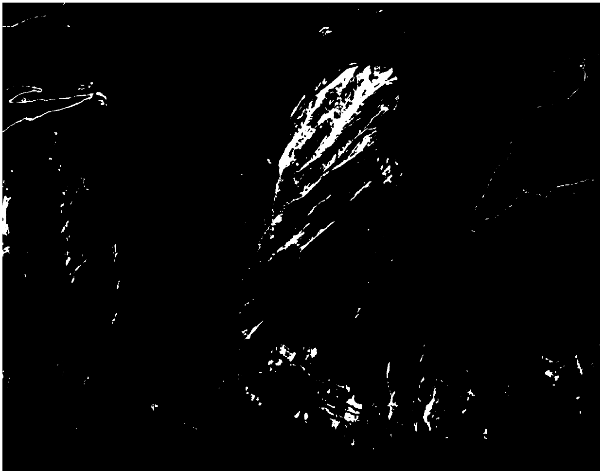
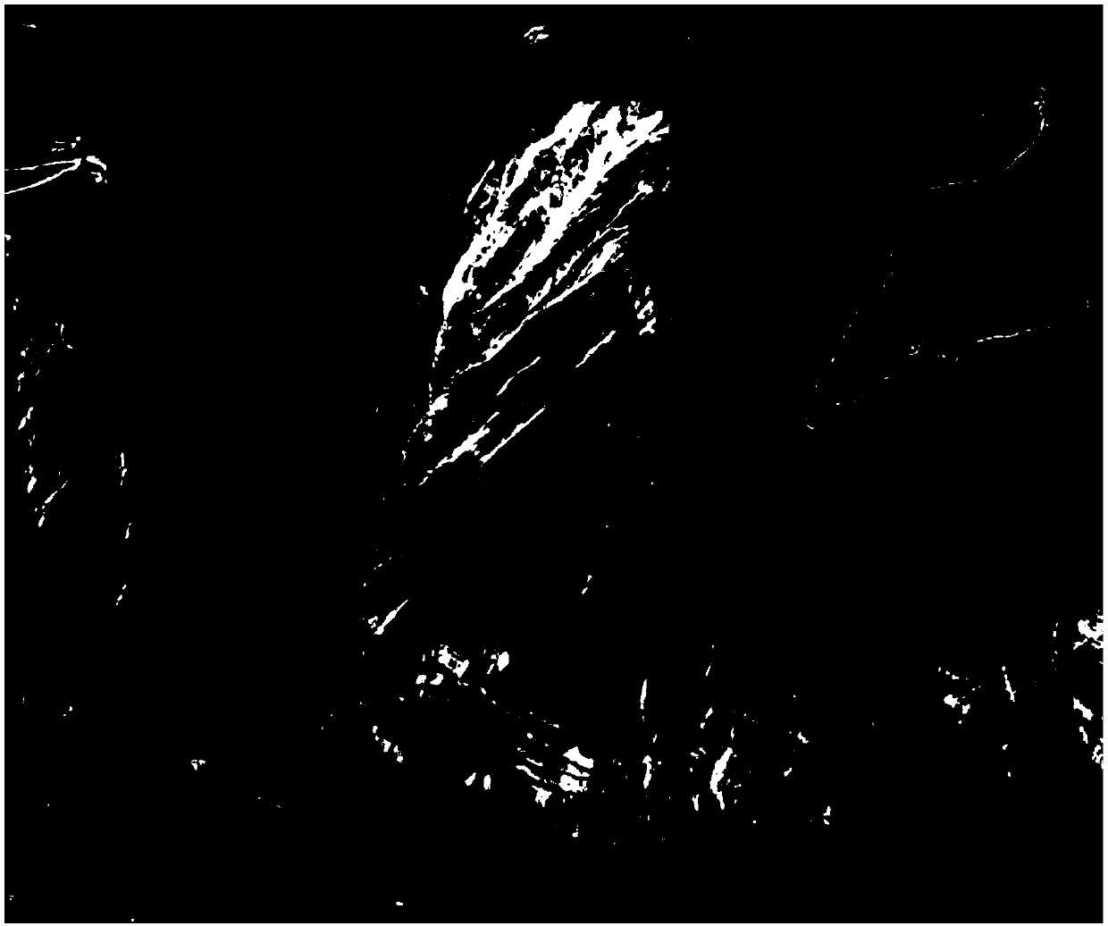
[0103] The present invention collects the ALOS / PALSAR orbit ascending data covering the Wudongde reservoir area in the Jinsha River Basin and the QuickBird-02 data covering the Shuanglongtan potential landslide area. Among them, there are 20 scenes of ALOS / PALSAR ascending orbit data obtained, and the image date range is from January 2007 to March 2011; the QuickBird-02 data obtained has 1 scene, including panchromatic data of 0.61m resolution and 2.44m High-resolution multispectral data, the acquisition date is November 15, 2009, the solar altitude angle is 43.6°, the solar azimuth angle is 162.7°, and the cloud coverage is 0.00%.


PUM


Abstract

The invention belongs to the field of potential landslide identification, and discloses an optical remote sensing automatic identification method for a potential landslide considering InSAR deformation factors. The method comprises: acquiring a deformation rate map and optical remote sensing image data of a target area; preprocessing an optical remote sensing image to obtain an optical remote sensing image map of the target area; calculating terrain information data of the target area; dividing 4-band multi-spectral data to obtain a plurality of objects according to the deformation rate map ofthe target area; selecting ground object classification samples to obtain classification feature elements of the various ground object classification samples and the threshold values thereof; performing classification and eliminating to obtain a potential landslide area of the target area obtained by using the optical remote sensing image; calculating a potential landslide object; combining the potential landslide object with the obtained potential landslide area of the target area to finally obtain a complete potential landslide area of the target area. The method combines the optical remotesensing and InSAR deformation rate information to quickly and effectively extract the potential landslide information. Therefore, the method has high automation degree and reliability, and provides technical support for preventing landslide disasters.

Description

technical field [0001] The invention belongs to the field of potential landslide identification, and in particular relates to an optical remote sensing potential landslide automatic identification method in consideration of InSAR deformation factor. Background technique [0002] Landslide is a common natural disaster caused by natural factors or human activities, which mainly occurs in mountainous areas and valleys; optical remote sensing interpretation technology is used to identify landslides in the study area, although its coverage is large and human-computer interaction can be used to identify landslides. Identify landslides; however, traditional optical remote sensing image identification methods often can only provide semi-quantitative landslide identification results when conducting landslide investigations, there are missed and wrong judgments, and most of them are for regional positioning after the occurrence of landslides. It is difficult to realize early identific...

Claims


Application Information

Patent Timeline
IPC IPC(8): G01S7/48G01S7/487G01S7/493G01S17/89G01N21/25
CPCG01N21/25G01N2021/1793G01S7/4802G01S7/487G01S7/493G01S17/90
Inventor 赵超英荀张媛康亚杨成生朱武
Owner CHANGAN UNIV
Learn More