A method for the layout of atmospheric subsidence monitoring points in agricultural ecosystems in the Western Sichuan Plain
A technology of monitoring point layout and atmospheric deposition, applied in the direction of sampling devices, etc.
- Summary
- Abstract
- Description
- Claims
- Application Information
AI Technical Summary
Problems solved by technology
Method used
Image
Examples
Embodiment Construction
[0020] The present invention will be described in further detail below in conjunction with the examples.
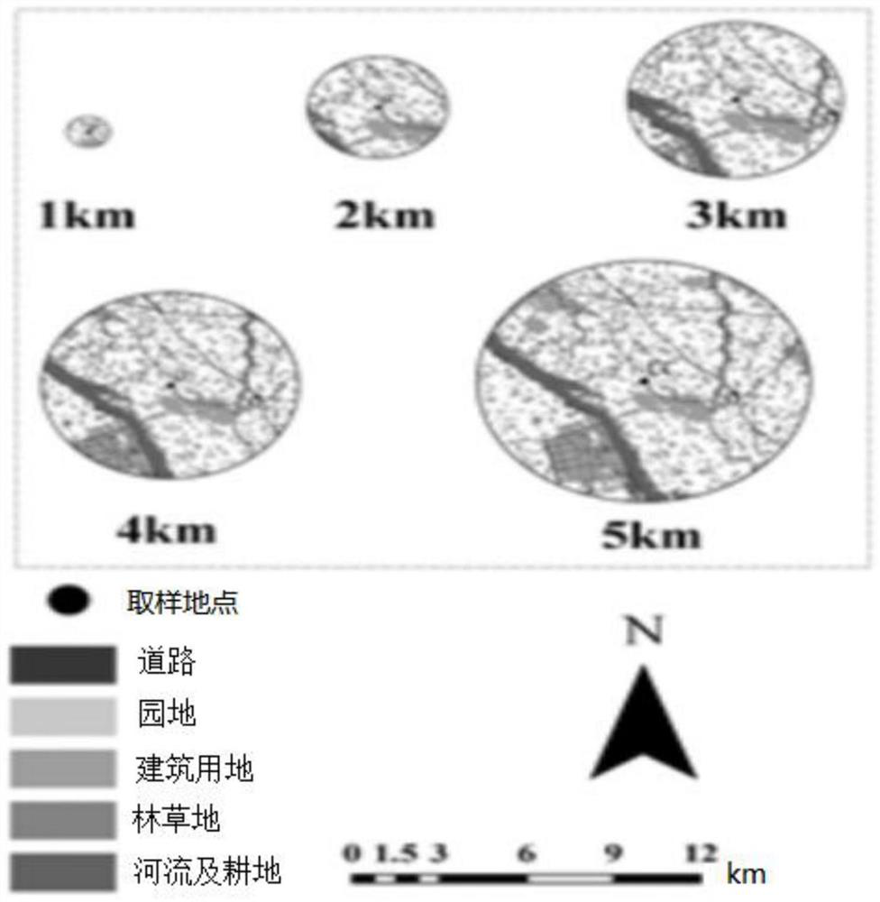
[0021] The present invention is the arrangement plan of atmospheric subsidence monitoring points in the agricultural ecological system, that is, adopts the function area distribution method, refers to the existing data and the actual problems encountered in the detection process, and sets up the test plan to determine the atmospheric conditions suitable for the western Sichuan plain area. The layout method of subsidence monitoring points is described in detail for the point layout of such functional areas as agricultural areas. Since land use type can indirectly reflect human activities, by establishing the relationship between land use type and atmospheric deposition, it can indicate the source of nitrogen, phosphorus and other element emissions and deposition in the atmosphere, and simulate and predict the spatial differentiation of atmospheric deposition. Therefore, sa...
PUM
 Abstract
Description
Claims
Application Information
 - Generate Ideas
- Intellectual Property
- Life Sciences
- Materials
- Tech Scout
- Unparalleled Data Quality
- Higher Quality Content
- 60% Fewer Hallucinations
Browse by: Latest US Patents, China's latest patents, Technical Efficacy Thesaurus, Application Domain, Technology Topic, Popular Technical Reports.
© 2025 PatSnap. All rights reserved.Legal|Privacy policy|Modern Slavery Act Transparency Statement|Sitemap|About US| Contact US: help@patsnap.com


