Unmanned aerial system based thermal imaging systems and methods
An infrared imaging, ground-based technology, applied in the field of infrared imaging
- Summary
- Abstract
- Description
- Claims
- Application Information
AI Technical Summary
Problems solved by technology
Method used
Image
Examples
Embodiment Construction
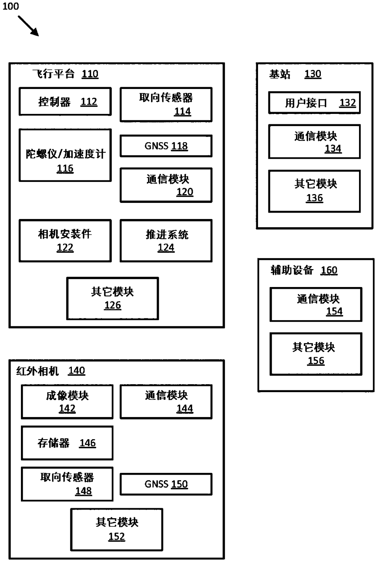
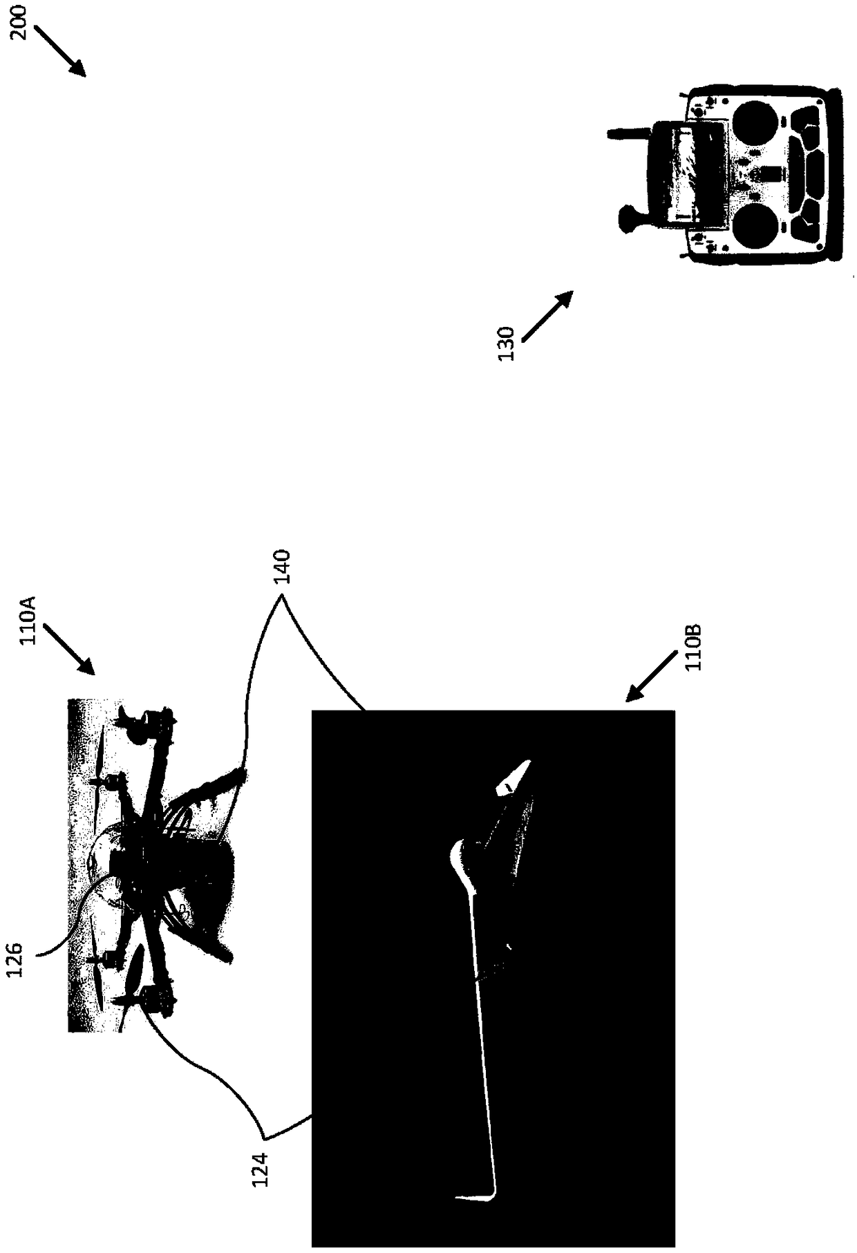
[0034] Provide flight-based infrared imaging systems and related technologies, particularly UAS-based thermal imaging systems, to improve the surveillance capabilities of such systems relative to conventional infrared surveillance systems. In some embodiments, the infrared imaging system can be configured to compensate for various environmental influences (e.g., position and / or strength of the sun, atmospheric effects) to provide high resolution and accuracy of radiance of targets imaged by the infrared imaging system Measurement results, as described herein. In other embodiments, the infrared imaging system may be configured to calculate and report radiometric measurements for each pixel of the thermal image, as described herein. Additionally, as described herein, data from infrared imaging systems can be used to create panoramic or three-dimensional (3D) thermal representations.
[0035] Thermal, infrared, radiometric, emissivity, irradiance, and / or other images and strips ...
PUM
 Abstract
Description
Claims
Application Information
 - R&D
- Intellectual Property
- Life Sciences
- Materials
- Tech Scout
- Unparalleled Data Quality
- Higher Quality Content
- 60% Fewer Hallucinations
Browse by: Latest US Patents, China's latest patents, Technical Efficacy Thesaurus, Application Domain, Technology Topic, Popular Technical Reports.
© 2025 PatSnap. All rights reserved.Legal|Privacy policy|Modern Slavery Act Transparency Statement|Sitemap|About US| Contact US: help@patsnap.com


