Building modeling method under constraint of spatial topological relation based on LiDAR (Light Detection And Ranging)
A technology of space topology and modeling method, applied in the field of building modeling, can solve the problems that affect the accuracy of building reconstruction results, not further given, and easy to cause fragmentation, etc.
- Summary
- Abstract
- Description
- Claims
- Application Information
AI Technical Summary
Problems solved by technology
Method used
Image
Examples
Embodiment
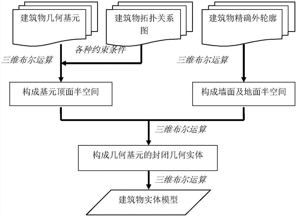
[0085] The modeling method of a building in a certain place based on the spatial topological relationship constraints of the LiDAR point cloud is taken as an example to illustrate, and it also has a guiding role for other building modeling methods based on the spatial topological relationship constraints of the LiDAR point cloud.
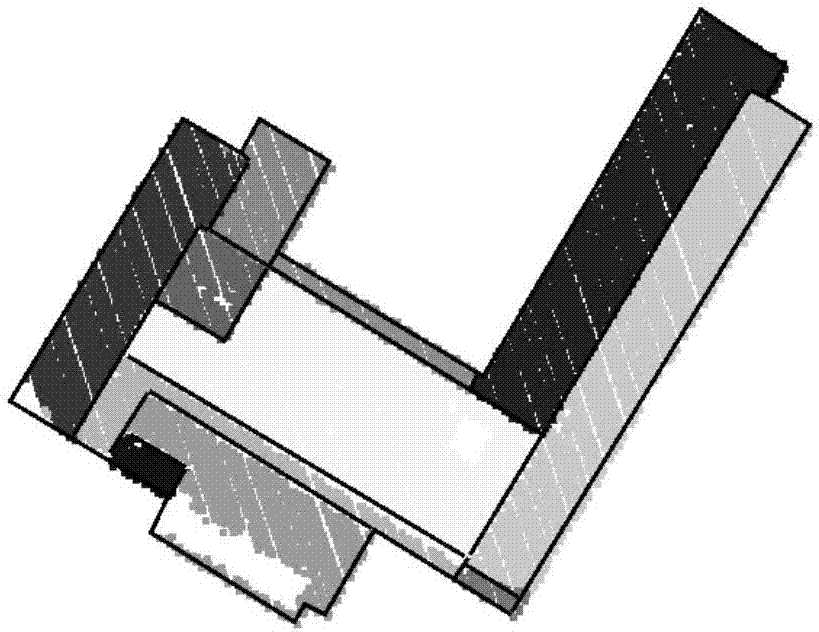
[0086] Step 1: Carry out point cloud segmentation processing and building contour extraction on the LiDAR point cloud of the building in the target area, and obtain the precise two-dimensional outer contour and elevation information of the building as well as the geometric primitives of the building roof (such as figure 2 shown);
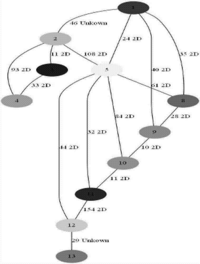
[0087] Step 2: For the building roof geometric primitives, extract adjacent point pairs between the adjacent building roof geometric primitives; calculate and analyze the spatial connection relationship between adjacent point pairs, and determine the relationship between the building roof geometric primitives The spatial...
PUM
 Abstract
Description
Claims
Application Information
 - R&D
- Intellectual Property
- Life Sciences
- Materials
- Tech Scout
- Unparalleled Data Quality
- Higher Quality Content
- 60% Fewer Hallucinations
Browse by: Latest US Patents, China's latest patents, Technical Efficacy Thesaurus, Application Domain, Technology Topic, Popular Technical Reports.
© 2025 PatSnap. All rights reserved.Legal|Privacy policy|Modern Slavery Act Transparency Statement|Sitemap|About US| Contact US: help@patsnap.com


