Multi-temporal remote sensing image change detection method based on FCM and evidence theory
A remote sensing image, change detection technology, applied in image data processing, image analysis, image enhancement and other directions
- Summary
- Abstract
- Description
- Claims
- Application Information
AI Technical Summary
Problems solved by technology
Method used
Image
Examples
Embodiment Construction
[0052] The present invention will be further described below in conjunction with the accompanying drawings. The following examples are only used to illustrate the technical solution of the present invention more clearly, but not to limit the protection scope of the present invention.
[0053] Such as figure 1 , the implementation steps of the present invention are as follows:
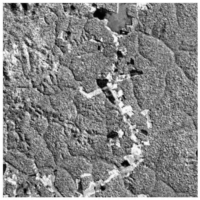
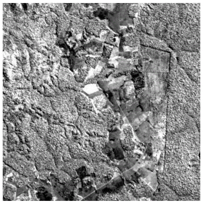
[0054] Step 1: Input two high-resolution optical remote sensing images of the same area and different time phases, respectively denoted as:
[0055] x 1 and x 2 .
[0056] Step 2: Use ENVI remote sensing software to measure X 1 and x2 Image registration is divided into two steps: rough correction and fine correction:
[0057] 21) Rough geometry correction, realized by using relevant functions in ENVI4.8 software, the specific operation steps are:
[0058] (201) Display the reference image and the image to be corrected.
[0059] (202) Collect ground control points GCPs, GCPs should be evenly dist...
PUM
 Abstract
Description
Claims
Application Information
 - Generate Ideas
- Intellectual Property
- Life Sciences
- Materials
- Tech Scout
- Unparalleled Data Quality
- Higher Quality Content
- 60% Fewer Hallucinations
Browse by: Latest US Patents, China's latest patents, Technical Efficacy Thesaurus, Application Domain, Technology Topic, Popular Technical Reports.
© 2025 PatSnap. All rights reserved.Legal|Privacy policy|Modern Slavery Act Transparency Statement|Sitemap|About US| Contact US: help@patsnap.com


