Sea ice thickness estimation method based on multi-beam altimeter experimental data
A multi-beam height and experimental data technology, applied in the field of remote sensing geosciences, can solve problems such as increasing the uncertainty of sea ice thickness estimation, and achieve the effects of improving data processing efficiency, high execution efficiency, and high precision
- Summary
- Abstract
- Description
- Claims
- Application Information
AI Technical Summary
Problems solved by technology
Method used
Image
Examples
Embodiment Construction
[0044] The present invention will be described in detail below according to the accompanying drawings, so as to make the technical route and operation steps of the present invention clearer.
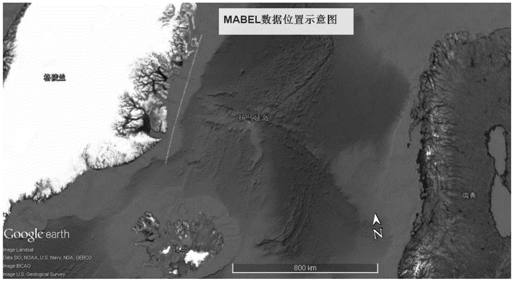
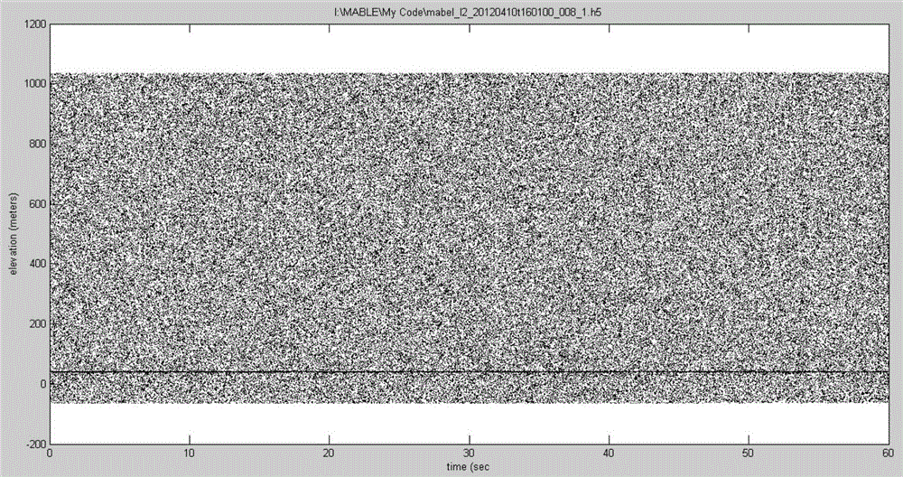
[0045] The data used in the example of the present invention is the MABEL data of the US NASA Goddard Space Flight Center (Goddard Space Flight Center), the data number: mabel_l2_20120410t160100_008_1, the data location is the Greenland sea area (the east side of Greenland), and the acquisition time is April 10, 2012 . Such as figure 2 As shown, the curve in the figure represents the flight aerial photography route.
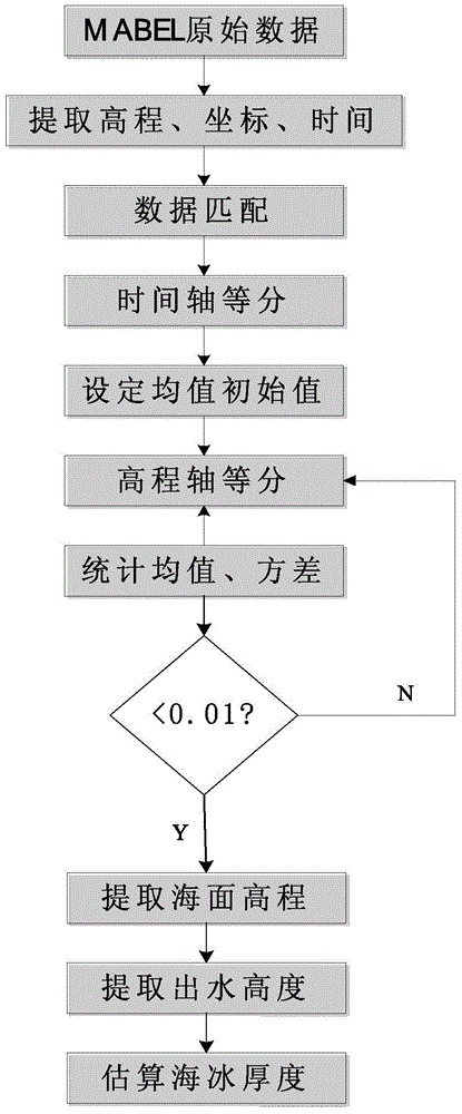
[0046] figure 1 It is the flow chart of the sea ice thickness estimation method based on the multi-beam altimeter experimental data in this embodiment, and the specific steps are as follows:
[0047] The first step is to read the raw data of MABEL, extract the time data, elevation data and latitude and longitude data of reflected photons, and perform matching.
[0048]...
PUM
 Abstract
Description
Claims
Application Information
 - R&D
- Intellectual Property
- Life Sciences
- Materials
- Tech Scout
- Unparalleled Data Quality
- Higher Quality Content
- 60% Fewer Hallucinations
Browse by: Latest US Patents, China's latest patents, Technical Efficacy Thesaurus, Application Domain, Technology Topic, Popular Technical Reports.
© 2025 PatSnap. All rights reserved.Legal|Privacy policy|Modern Slavery Act Transparency Statement|Sitemap|About US| Contact US: help@patsnap.com


