Spatial index establishing method, spatial index use method and spatial index use device

A spatial indexing and spatial technology, applied in special data processing applications, instruments, electrical digital data processing, etc., can solve problems such as low accuracy and slow search speed

Active Publication Date: 2013-05-08
CHINA MOBILE COMM GRP CO LTD
View PDF4 Cites 31 Cited by
  • Summary
  • Abstract
  • Description
  • Claims
  • Application Information

AI Technical Summary

Problems solved by technology

[0008] Embodiments of the present invention provide a spatial index establishment method, usage method, and device, which are used to solve the problem of slow se...

Method used


Image

  • Spatial index establishing method, spatial index use method and spatial index use device
  • Spatial index establishing method, spatial index use method and spatial index use device
  • Spatial index establishing method, spatial index use method and spatial index use device

Examples


Embodiment Construction

[0037] The specific implementation manners of the establishment method, use method and device of the spatial index provided by the embodiments of the present invention will be described in detail below with reference to the accompanying drawings.

[0038] A method for establishing a spatial index provided by an embodiment of the present invention, such as figure 1 As shown, it specifically includes the following steps:

[0039] S101. Use the categories set in the classification database to classify the spatial objects in the spatial database;

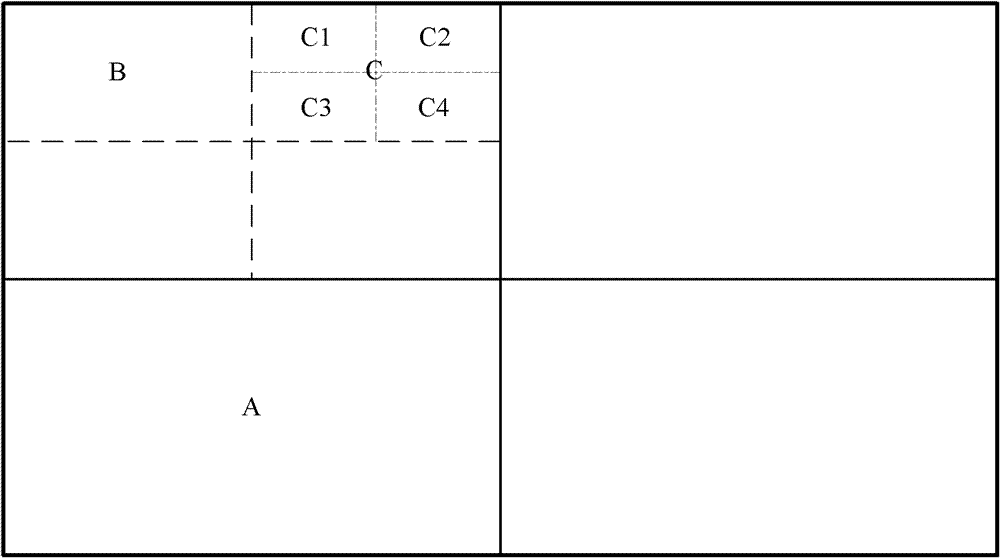
[0040] S102. For each type of spatial object, according to the distribution of such spatial objects in the spatial region, use the quadtree method to continuously divide the spatial region until the distribution of such spatial objects in each sub-region after division meets the set requirements. condition;

[0041] S103. Establish a spatial index for such spatial objects in each divided sub-region by using an R-tree method.

[0042]...


PUM


Abstract

The invention discloses a spatial index establishing method, a spatial index use method and a spatial index use device. The spatial index establishing method includes using classes set in a classification database for classifying spatial objects in a spatial database; aiming at the spatial objects of each class and according to distribution of the spatial objects of the class in a spatial region, continuously dividing the spatial region by the aid of a quadtree mode until distribution of the spatial objects of the class in each divided sub-region satisfies set conditions; and establishing spatial indexes for the spatial objects of the class in each divided sub-region by the aid of an R-tree mode. Probability of interlapping of various spatial objects can be decreased by establishing the spatial indexes for the spatial objects of each class, and since spatial regions dense in spatial object distribution are divided into smaller regions according to distribution characteristics of all classes of spatial objects when the spatial indexes are established for each class of spatial objects, spatial overlapping probability is further decreased, and speed of using the established spatial indexes for searching is increased while accuracy of using the established spatial indexes for searching is improved.

Description

technical field [0001] The present invention relates to the field of data services, in particular to a method for establishing a spatial index, a method for using it, and a device. Background technique [0002] With the popularization of the Internet and the rapid development of information technology, people rely more and more on various information, especially geographic information. According to statistics, more than 80% of people's activities are related to spatial location. Therefore, how to accurately and quickly find the information they need from the massive geographic information data has become an urgent problem to be solved. [0003] At present, the query technology for geographic information mainly includes the following steps: after receiving the user query request information, segment the query request information to obtain valid addresses and keywords; query the preset database to obtain the spatial geometric information of the valid address, and determine the...

Claims


Application Information

Patent Timeline
IPC IPC(8): G06F17/30
Inventor 邢辉峰温亮生贺赢阎啸天
Owner CHINA MOBILE COMM GRP CO LTD
Why Eureka
Try Eureka