Digital-map-based urban traffic flow network parallel information system
A digital map and urban traffic technology, applied in the service application field of urban traffic information, can solve the problems of not considering the influence of route planning, rough division of traffic flow information, and inability to accurately reflect road congestion, so as to avoid overcrowding. Effect
- Summary
- Abstract
- Description
- Claims
- Application Information
AI Technical Summary
Problems solved by technology
Method used
Image
Examples
Embodiment Construction
[0019] The present invention will be further described below in conjunction with drawings and embodiments.
[0020] The present invention uses the LBS (Location Based Service) system as the framework to analyze, display and apply urban traffic flow network information in parallel, especially based on the quantitative and multi-attribute display of real-time and predicted road condition information based on digital maps, and based on the real-time and predicted Traffic road condition information dynamically plans the best route.
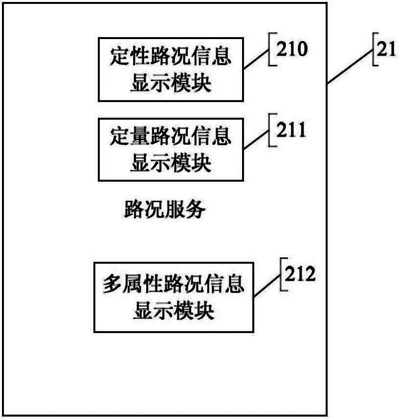
[0021] Such as figure 1 as shown, figure 1 It is the overall structural design diagram of the urban traffic flow network parallel information system of the present invention. It mainly includes a client 1, a Web application server 2 and a database 3. The client 1 includes a browser terminal 10 and a mobile application terminal 11 (client software installed on a mobile phone operating system, similar to a tablet computer or other smart terminals, co...
PUM
 Abstract
Description
Claims
Application Information
 - R&D Engineer
- R&D Manager
- IP Professional
- Industry Leading Data Capabilities
- Powerful AI technology
- Patent DNA Extraction
Browse by: Latest US Patents, China's latest patents, Technical Efficacy Thesaurus, Application Domain, Technology Topic, Popular Technical Reports.
© 2024 PatSnap. All rights reserved.Legal|Privacy policy|Modern Slavery Act Transparency Statement|Sitemap|About US| Contact US: help@patsnap.com


