Method for establishing three-dimensional visualization geographic information system (GIS) of trenchless underground pipelines
A technology for underground pipelines and building methods, applied in 3D modeling, image data processing, instruments, etc., to achieve the effect of strengthening planning and reducing underground engineering accidents
- Summary
- Abstract
- Description
- Claims
- Application Information
AI Technical Summary
Problems solved by technology
Method used
Image
Examples
Embodiment Construction
[0014] The present invention will be further described in detail below in conjunction with the drawings and specific embodiments:
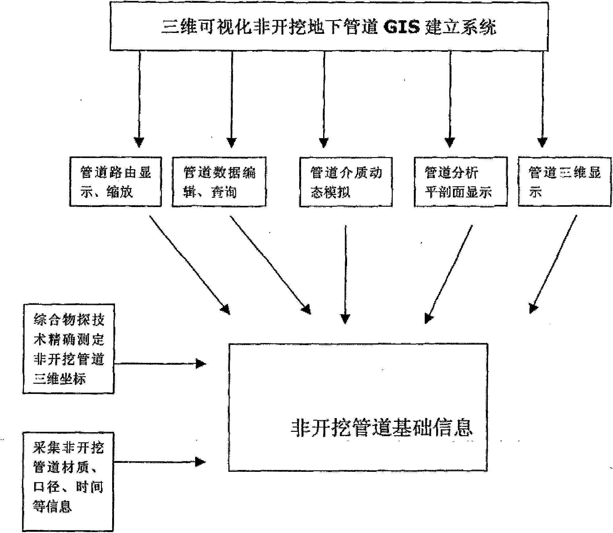
[0015] by figure 1 It can be seen that the present invention is realized through the following steps:
[0016] Compile the system software part;
[0017] Use comprehensive geophysical technology to collect various types of trenchless pipeline data;
[0018] Hierarchical and classified input of accurate 3D trenchless pipeline data into the system;
[0019] System comprehensive debugging;
[0020] In the step "Using comprehensive geophysical prospecting technology to collect various types of trenchless pipeline data": use detection technology to collect accurate three-dimensional information of trenchless pipelines; including: iron trenchless pipelines: use pipeline detection instruments to measure its 2-4 meters For the shallow part of the pipeline, use geological radar to measure its 5-8m middle part, and use a gyro positioning instrument to measure its 8-...
PUM
 Abstract
Description
Claims
Application Information
 - R&D Engineer
- R&D Manager
- IP Professional
- Industry Leading Data Capabilities
- Powerful AI technology
- Patent DNA Extraction
Browse by: Latest US Patents, China's latest patents, Technical Efficacy Thesaurus, Application Domain, Technology Topic, Popular Technical Reports.
© 2024 PatSnap. All rights reserved.Legal|Privacy policy|Modern Slavery Act Transparency Statement|Sitemap|About US| Contact US: help@patsnap.com


