
Geo-location systems and methods based on atmospheric pressure measurement

Inactive Publication Date: 2013-05-21
CHARLES STARK DRAPER LABORATORY
View PDF12 Cites 11 Cited by
  • Summary
  • Abstract
  • Description
  • Claims
  • Application Information

AI Technical Summary

Benefits of technology

Enables accurate geo-location of small devices without external signals, achieving location determination within kilometers with minimal power and data requirements, suitable for RF-denied environments.

Problems solved by technology

Although barometric pressure sensors have been used as aiding sensors to inertial navigational units, in such an application the sensor is merely used to sense changes in altitude, not to provide a true geo-location measurement.

Method used


Image

  • Geo-location systems and methods based on atmospheric pressure measurement
  • Geo-location systems and methods based on atmospheric pressure measurement
  • Geo-location systems and methods based on atmospheric pressure measurement

Examples


Embodiment Construction

Overview

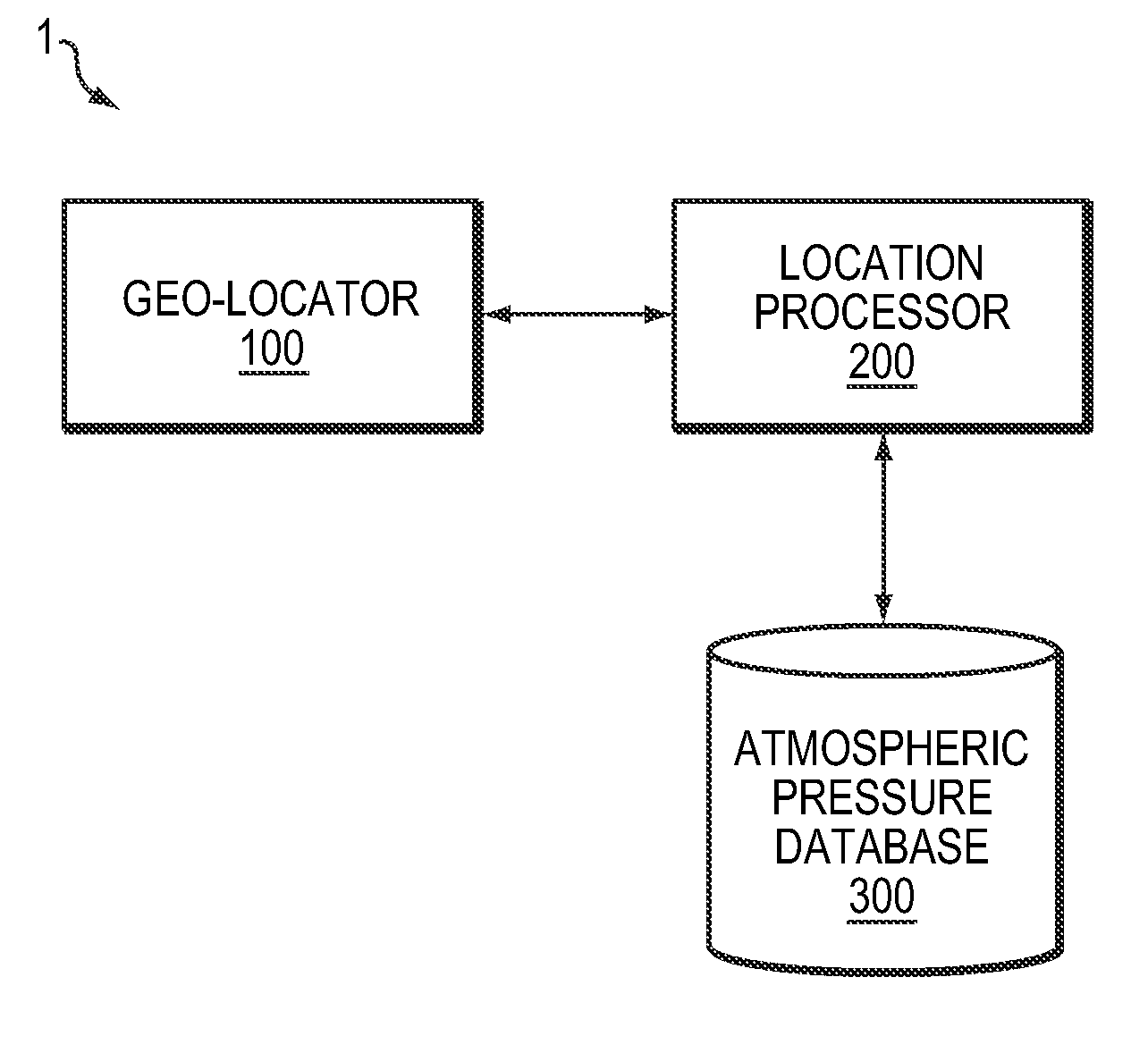
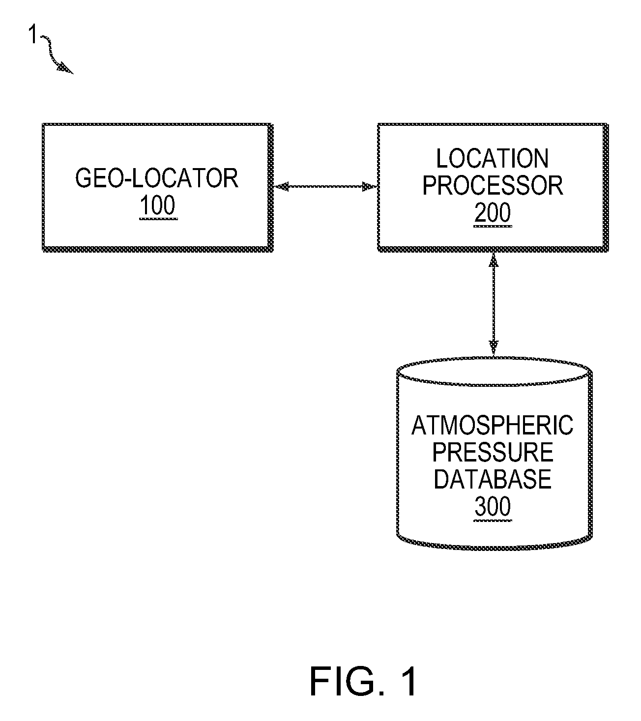
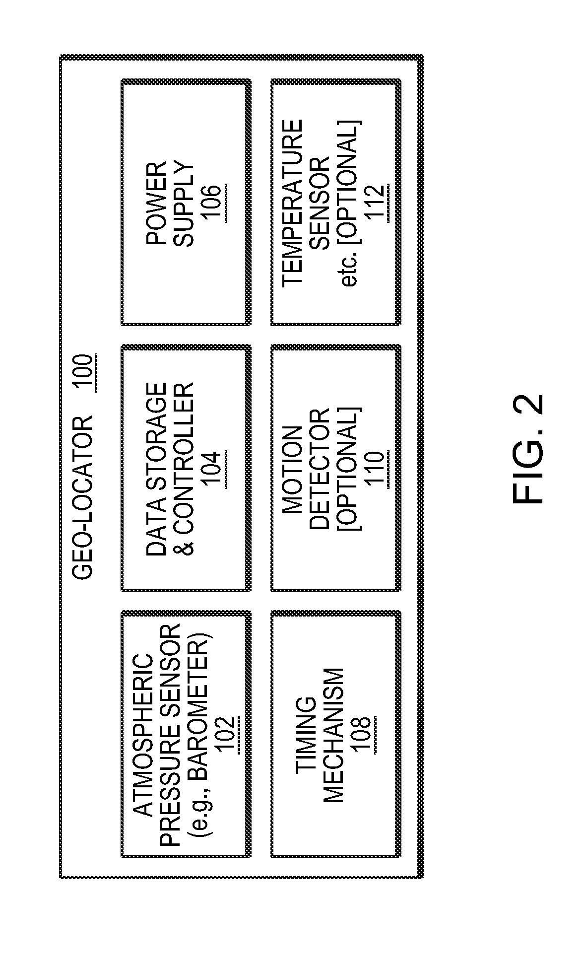
[0035]In brief overview, embodiments of the present invention provide the capability to geo-locate a geo-location device (such as a tag) using barometric pressure. Tracking a device according to ambient atmospheric pressure of a device may be accomplished due to significant pressure gradients over time and space. Embodiments use databases of historical pressure measurements over time and over fixed Earth-based grids and correlate those databases to pressure measurement read by a device with a pressure sensor to track the device.

[0036]The ambient pressure is low bandwidth data, sufficient to localize a geo-location device within kilometers or closer to its actual location. This approach enables geo-location in RF-denied environments, requires minimal power consumption, minimal memory, and minimal data volume, and does not require an antenna. The geo-location techniques described herein work without requiring reception of external radio-navigational signals such as GPS. In add...


PUM


Abstract

System and method for geo-location of a device (such as a tag) using barometric pressure readings taken in the vicinity of the device and correlated to datasets of barometric pressure that have pressure gradients over time and space. The readings taken in the vicinity of the device may be correlated to the datasets using an iterative Bayesian approach to determine a geo-location of the device with a high degree of confidence.

Description

FIELD OF THE INVENTION[0001]In various embodiments, the present invention relates to geo-location, positioning, and / or mapping techniques, and more specifically to geo-location systems and methods based on atmospheric pressure measurement.BACKGROUND OF THE INVENTION[0002]The general problem of geo-location or navigation has been studied for centuries. Prior methods include various forms of dead reckoning, inertial navigation, celestial navigation, and radio-navigation, which are too numerous to list here.[0003]The disadvantages of prior methods for geo-location generally are two-fold: either the methods require access to some form of external aiding signal (man-made or natural, such as global positioning system (GPS) signals or a view of the stars), or they do not provide sufficient accuracy in a small, low-power package. For example, inertial navigation systems are typically large and require significant amounts of power, and they also tend to produce results that drift over time.[...

Claims


Application Information

Patent Timeline
Patent Type & Authority Patents(United States)
IPC IPC(8): G01C21/00
CPCG01C21/005G01N2001/021
Inventor LANE, BENJAMIN F.SLESNICK, CATHERINE L.
Owner CHARLES STARK DRAPER LABORATORY
Learn More