
Altitude correction of a navigational device

a technology of inertial navigation and altitude correction, which is applied in the direction of navigation instruments, instruments, horology, etc., can solve the problems of confusion between local pressure changes and changes, errors in estimating altitude of inertial navigational devices, and misallocation of users (e.g. fire personnel)

Active Publication Date: 2010-09-07
MOTOROLA SOLUTIONS INC
View PDF16 Cites 13 Cited by
  • Summary
  • Abstract
  • Description
  • Claims
  • Application Information

AI Technical Summary

Problems solved by technology

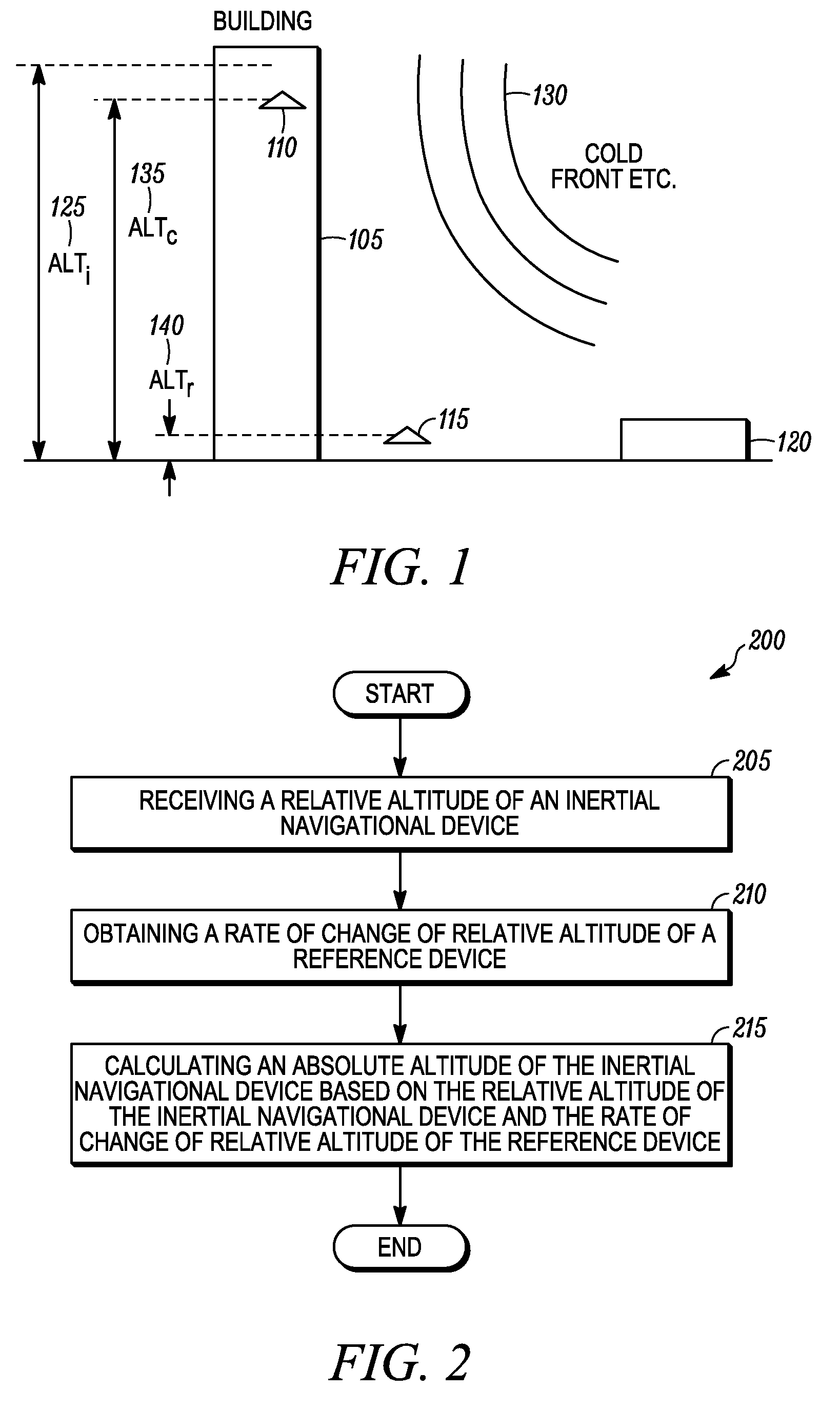
Because altitude data is recorded at the inertial navigational device, as barometric conditions change or shift (for example as a cold front moves through), existing navigational devices cannot compensate for local pressure changes and can confuse local pressure changes with changes in the altitude of the inertial navigational device.
Not compensating for local pressure changes causes errors in estimating altitude of the inertial navigational device.
Not being able to accurately estimate altitude of the inertial navigational device means that the location of the user (e.g. fire personnel) is mistaken.

Method used


Image

  • Altitude correction of a navigational device
  • Altitude correction of a navigational device
  • Altitude correction of a navigational device

Examples


Embodiment Construction

[0012]Before describing in detail embodiments that are in accordance with the present invention, it should be observed that the embodiments reside primarily in combinations of method steps and apparatus components related to a method and apparatus for altitude correction of a navigational device. Accordingly, the apparatus components and method steps have been represented where appropriate by conventional symbols in the drawings, showing only those specific details that are pertinent to understanding the embodiments of the present invention so as not to obscure the disclosure with details that will be readily apparent to those of ordinary skill in the art having the benefit of the description herein. Thus, it will be appreciated that for simplicity and clarity of illustration, common and well-understood elements that are useful or necessary in a commercially feasible embodiment may not be depicted in order to facilitate a less obstructed view of these various embodiments.

[0013]In th...


PUM


Abstract

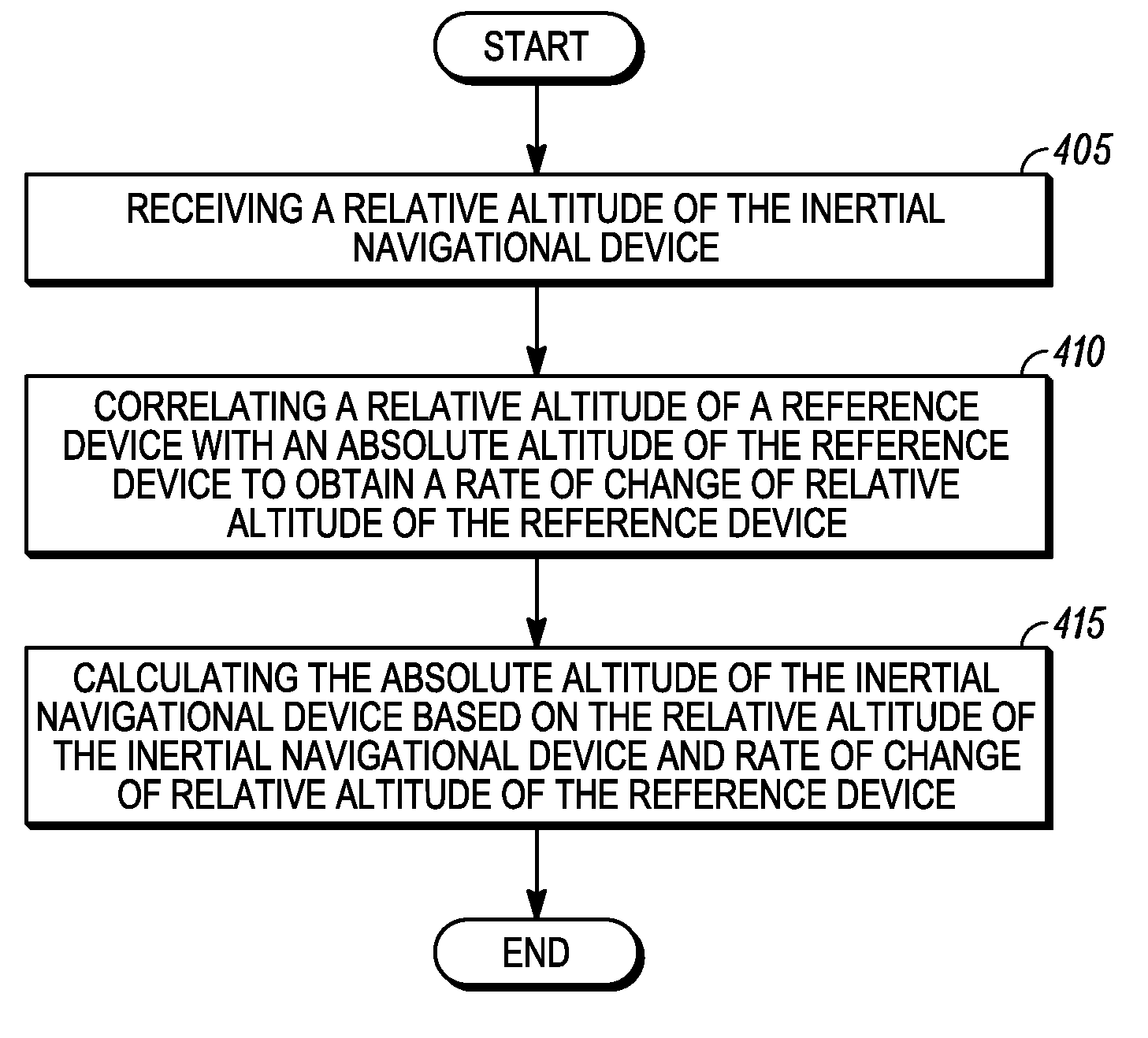
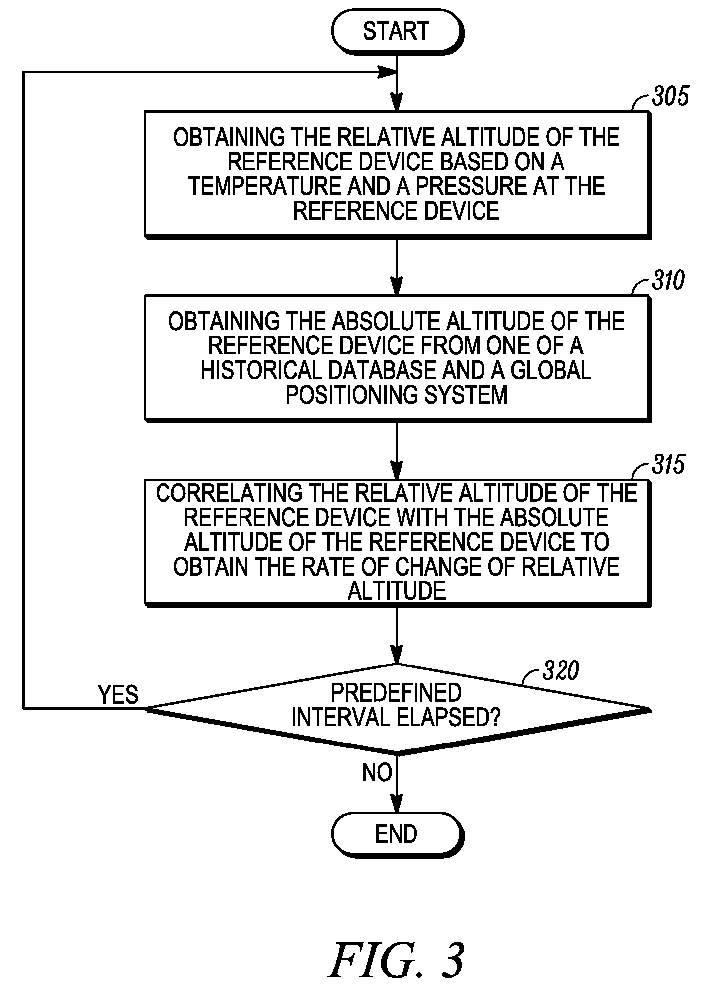
A method of altitude correction of an inertial navigational device, the method comprising the steps of: receiving (205) a relative altitude of the inertial navigational device; obtaining (210) a rate of change of the relative altitude of a reference device; and calculating (215) an absolute altitude of the inertial navigational device based on the relative altitude of the inertial navigational device and the rate of change of the relative altitude of the reference device. The invention also provides for a device (505) such as base station, computer or a laptop to enable altitude correction of an inertial navigational device.

Description

CROSS-REFERENCE TO RELATED APPLICATIONS[0001]This application claims benefit under 35 U.S.C. §119(e) from U.S. Provisional Patent Application Ser. No. 60 / 729,665, filed Oct. 24, 2005, the contents of which is incorporated herein by reference.FIELD OF THE INVENTION[0002]The present invention relates generally to correcting an altitude reading of an inertial navigational device and more specifically, to obtaining an absolute altitude of the inertial navigational device using a relative altitude of the inertial navigational device and a rate of change in the relative altitude of a reference device.BACKGROUND OF THE INVENTION[0003]Often times a location of a user within a predefined area (e.g. a building) needs to be monitored. For example, the user may be fire personnel within a building and monitoring the fire personnel's location in the building may be necessary. To accurately estimate the user's location in the building, an altitude of the user needs to be calculated. Most existing ...

Claims


Application Information

Patent Timeline
Patent Type & Authority Patents(United States)
IPC IPC(8): G06F17/00
CPCG01C5/06G01C21/206G01C25/005G01C21/16G01C21/183
Inventor SWOPE, CHARLES B.TEALDI, DANIEL A.
Owner MOTOROLA SOLUTIONS INC
Learn More