Eureka AIR delivers breakthrough ideas for toughest innovation challenges, trusted by R&D personnel around the world.

Method and system for automatic control of vehicles based on carrier phase differential GPS

a carrier phase and differential technology, applied in the direction of underwater vessels, non-deflectible wheel steering, navigation instruments, etc., can solve the problems of insufficient accuracy for controlling land vehicles, prone to false solutions, and accuracy is generally not sufficient for conventional gps to be within tens of meters of actual position, so as to achieve the effect of enhancing system stability

Inactive Publication Date: 2000-04-18
THE BOARD OF TRUSTEES OF THE LELAND STANFORD JUNIOR UNIV +1
View PDF13 Cites 315 Cited by
  • Summary
  • Abstract
  • Description
  • Claims
  • Application Information

AI Technical Summary

Benefits of technology

It is a further object of the present invention to use a single pseudolite in a GPS control system for a land vehicle thereby avoiding the need for a relatively long "blind" satellite integer search for CDGPS position initialization.
In this way, it is possible to precisely determine the attitude of the land vehicle with respect to the terminus of the GPS antennas. By knowing the position of the antennas relative to the wheel base, it is then possible to determine the pitch, roll and yaw angle of the vehicle at given times. These values may be used to correct the position error which would otherwise result from side-slip on inclined terrain or from an incorrect position estimate that would result from failing to take into account the movement of the antenna above the point on the tractor being controlled. In other words, by not accounting for the "lever arm" of the positioning antenna, significant positioning errors are introduced when the vehicle is moving along sloped terrain.
For most day-to-day tasks, the motion of ground vehicles involve complex phenomena which are difficult, if not impossible to physically model. However, by constructing models and estimating unknown parameters, it is possible to map input / output behavior to an extent sufficient for control of many tasks.
Thus, the system stability can be augmented through an observer, and the ideal Markov parameters established through a least-squares solution. (This solution may be established using methods known in the art; see, for example, J.-N. Juang, Applied System Identification 175-182 (Prentice Hall 1994).) It is useful to note that the realization also provides a pseudo-Kalman observer. The observer orthagonalizes the residuals to time-shifted versions of both input and output. This makes controller design a much simpler process. An improved version of the OKID process, which includes residual whitening, was used in a prototype example to identify the farm tractor from the experimental data.

Problems solved by technology

However, the accuracy of Conventional GPS is only to within tens of meters of actual position.
This accuracy is generally not sufficient for controlling land vehicles.
In determining position using CDGPS, integer search techniques are typically used to measure residuals to find the correct integers, a technique prone to false solutions.
Such a loss of system integrity could be costly or even dangerous in many high accuracy GPS applications.
However, because the reference antenna and the other antennas are fixed to the aircraft, this method, while useful for precise attitude determinations for the aircraft, is not useful for precise position determination.
Moreover, it is not believed to have been adapted for use in connection with automatically controlling movement of a land vehicle.
This is especially important when obstructions or excessive vehicle attitude motion may result in the loss of GPS satellite signals.
The results described in the above-referenced O'Connor article showed that more control effort was required, and accuracy was poorer than predicted by simulation.
One likely cause of the disturbance noise was the roll motion of the vehicle (a golf cart).
Although the roll angle of the vehicle was measured, the resulting motion of the two meter high positioning antenna relative to the wheel base was not corrected for by this system.
Thus, the technique described in this article includes no control correction for such effects as vehicle roll due to ground disturbances.
Failure to measure a vehicle's roll is a significant hindrance to effective control on non-smooth surfaces.

Method used


Image

  • Method and system for automatic control of vehicles based on carrier phase differential GPS
  • Method and system for automatic control of vehicles based on carrier phase differential GPS
  • Method and system for automatic control of vehicles based on carrier phase differential GPS

Examples


Embodiment Construction

Utilizing a Single Pseudolite

FIG. 10 is a diagram of a system according to an alternate embodiment of the present invention in which a single pseudolite is utilized for CDGPS initialization for guidance and control of a vehicle. As described below, this embodiment provides for rapid initialization. Moreover, it enhances system availability by permitting system operation even in the event that the signal from one of the minimum four GPS satellites is blocked or lost for some reason.

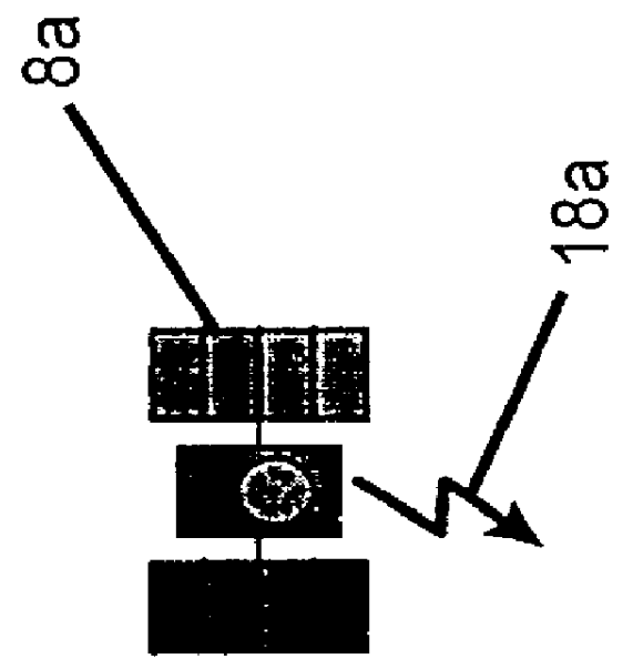
As described above in the embodiment described in FIG. 1, a vehicle 2 receives GPS signals 18a-18c from GPS satellites 8a-8c and correction signals from a reference station antenna 16. However, in contrast to the system illustrated in FIG. 1, the system shown in FIG. 10 includes a single pseudolite 100 which broadcasts a GPS signal 102 in the same format as the GPS satellites 8a-8c. Of course it will be understood additional pseudolites may be used in conjunction with this system. However, in contrast to p...


PUM


Abstract

Described is an automatic control system for land (and possible marine) vehicles based on carrier phase differential GPS (CPGPS). The system relies on CPGPS to determine vehicle position and attitude very precisely (position to within 1 cm and attitude to within 0.1 DEG ). A system incorporates a technique to calculate and compensate for antenna motion due to vehicle roll and pitch. One aspect of the system utilizes an intelligent vehicle controller that recognizes and adapts to changing conditions, such as vehicle speed, implements towed by the vehicle, soil conditions, and disturbance level. The system provides the capability to control the vehicle on various paths, including straight lines and arbitrary curves. Also described is a technique for initialization and vehicle control using only a single pseudolite.

Description

The present invention generally relates to automatically locating, positioning, and controlling vehicles, and particularly to a method and system for automatically controlling surface vehicles (for example, farm tractors) based on carrier phase differential Global Positioning System (GPS) information.Some existing systems for ground positioning are based on GPS. GPS includes twenty-four active satellites orbiting the earth that were put in place by the United States Department of Defense. Each satellite continuously broadcasts a signal that contains an L-band carrier component (L1), which is transmitted at a frequency of 1.575 GHz. The L1 carrier component is modulated by a coarse acquisition (C / A) pseudo random (PRN) code component and a data component. The PRN code provides timing information that allows determination of when the GPS signal was broadcast. The data component provides certain GPS information, such as the satellite's orbital position.Existing methods for position det...

Claims


Application Information

Patent Timeline
IPC IPC(8): G01S5/14G01S19/14G01S19/53
CPCG01S19/11G01S19/55G01S19/44G01S19/41G01S19/14G05D1/0278
Inventor PARKINSON, BRADFORD W.O'CONNOR, MICHAEL L.ELKAIM, GABRIEL H.BELL, THOMAS
Owner THE BOARD OF TRUSTEES OF THE LELAND STANFORD JUNIOR UNIV
Why Eureka
Eureka Blog
Learn More