
Distributing a crowdsourced sparse map for autonomous vehicle navigation

a technology for autonomous vehicles and sparse maps, applied in navigation instruments, instruments, image enhancement, etc., can solve problems such as fact limitation or even adversely affecting autonomous navigation, and the sheer volume of data needed to store and update maps,

Active Publication Date: 2018-01-25
MOBILEYE VISION TECH LTD
View PDF25 Cites 45 Cited by
  • Summary
  • Abstract
  • Description
  • Claims
  • Application Information

AI Technical Summary

Benefits of technology

The patent text explains how the systems and methods described in this patent use a sparse map for autonomous vehicle navigation. This map provides enough information for navigation without requiring too much data storage. The technical effect of this is that the systems and methods can use a more efficient and efficient way to navigate without needing a lot of data storage.

Problems solved by technology

Harnessing and interpreting vast volumes of information collected by an autonomous vehicle as the vehicle travels to its destination poses a multitude of design challenges.
The sheer quantity of data (e.g., captured image data, map data, GPS data, sensor data, etc.) that an autonomous vehicle may need to analyze, access, and / or store poses challenges that can in fact limit or even adversely affect autonomous navigation.
Furthermore, if an autonomous vehicle relies on traditional mapping technology to navigate, the sheer volume of data needed to store and update the map poses daunting challenges.

Method used


Image

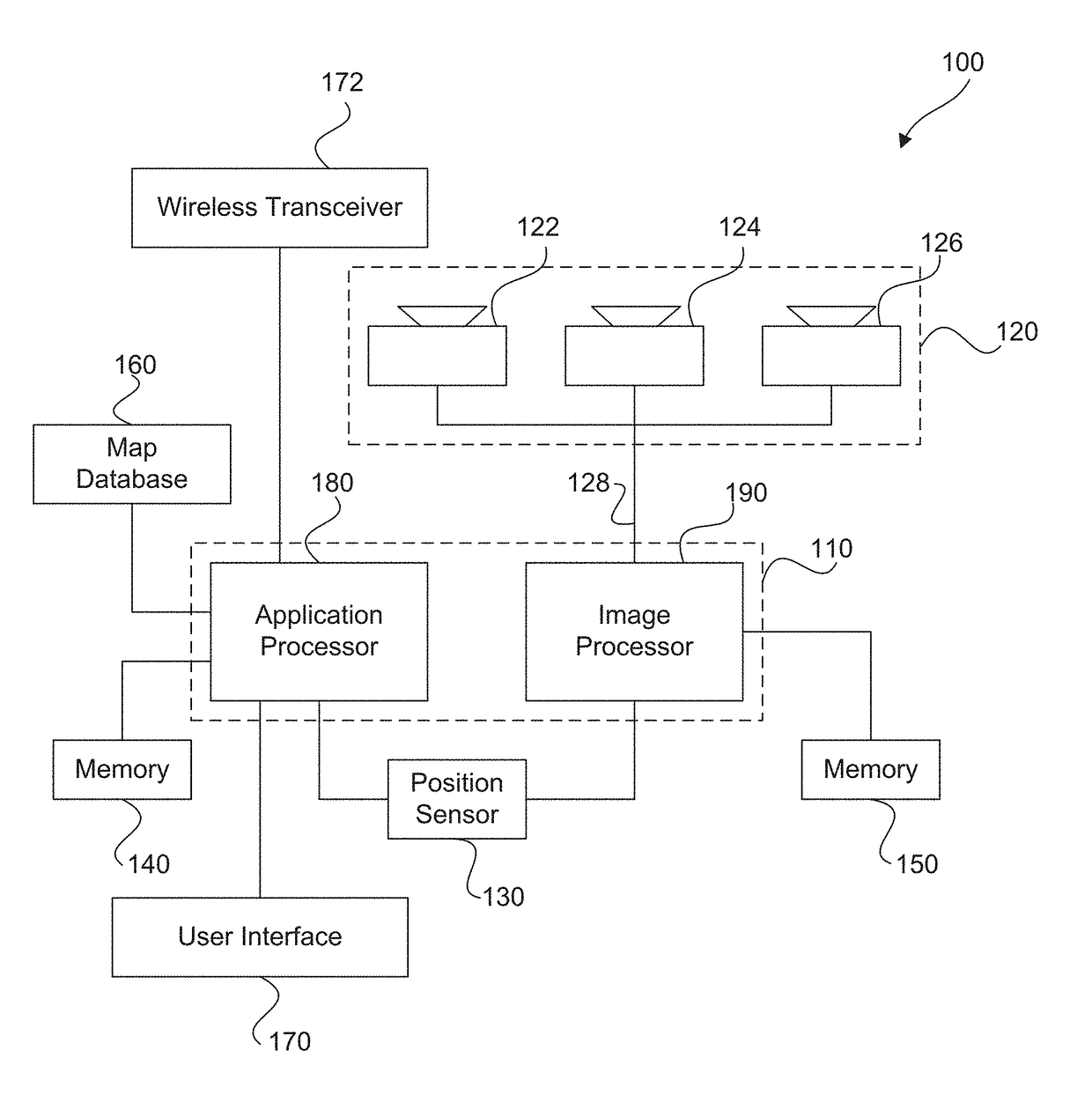
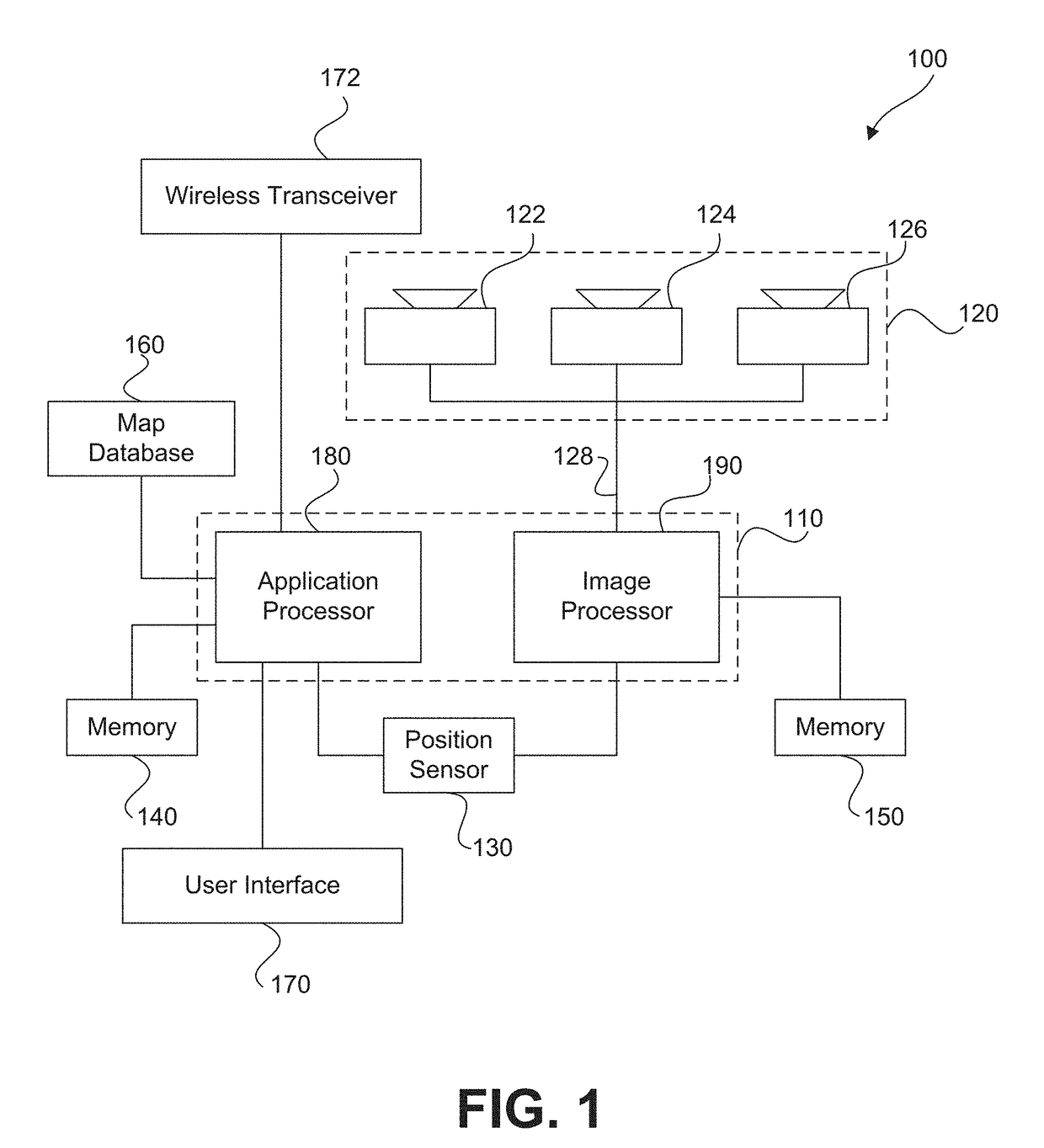
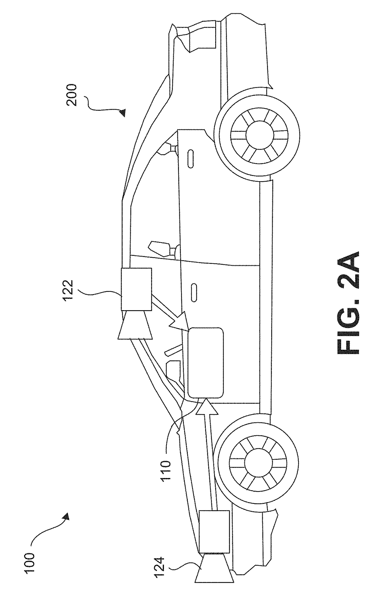
  • Distributing a crowdsourced sparse map for autonomous vehicle navigation
  • Distributing a crowdsourced sparse map for autonomous vehicle navigation
  • Distributing a crowdsourced sparse map for autonomous vehicle navigation

Examples


Embodiment Construction

[0083]The following detailed description refers to the accompanying drawings. Wherever possible, the same reference numbers are used in the drawings and the following description to refer to the same or similar parts. While several illustrative embodiments are described herein, modifications, adaptations and other implementations are possible. For example, substitutions, additions or modifications may be made to the components illustrated in the drawings, and the illustrative methods described herein may be modified by substituting, reordering, removing, or adding steps to the disclosed methods. Accordingly, the following detailed description is not limited to the disclosed embodiments and examples. Instead, the proper scope is defined by the appended claims.

[0084]Autonomous Vehicle Overview

[0085]As used throughout this disclosure, the term “autonomous vehicle” refers to a vehicle capable of implementing at least one navigational change without driver input. A “navigational change” ...


PUM


Abstract

Systems and methods are provided for distributing a crowdsourced sparse map for autonomous vehicle navigation. In one implementation, a method of generating a road navigation model for use in autonomous vehicle navigation may include receiving navigation information associated with a common road segment from a plurality of vehicles; storing the navigation information associated with the common road segment; generating at least a portion of an autonomous vehicle road navigation model for the common road segment based on the navigation information; and distributing the autonomous vehicle road navigation model to one or more autonomous vehicles for use in autonomously navigating along the common road segment. The autonomous vehicle road navigation model may include at least one line representation of a road surface feature extending along the common road segment, and each line representation may representing a path along the common road segment substantially corresponding with the road surface feature.

Description

CROSS REFERENCES TO RELATED APPLICATIONS[0001]This application claims the benefit of priority of U.S. Provisional Patent Application No. 62 / 365,192, filed on Jul. 21, 2016, and U.S. Provisional Patent Application No. 62 / 373,153, filed on Aug. 10, 2016. All of the foregoing applications are incorporated herein by reference in their entirety.BACKGROUNDTechnical Field[0002]The present disclosure relates generally to autonomous vehicle navigation and a sparse map for autonomous vehicle navigation. In particular, this disclosure relates to systems and methods for crowdsourcing a sparse map for autonomous vehicle navigation, systems and methods for distributing a crowdsourced sparse map for autonomous vehicle navigation, systems and methods for navigating a vehicle using a crowdsourced sparse map, systems and methods for aligning crowdsourced map data, systems and methods for crowdsourcing road surface information collection, and systems and methods for vehicle localization using lane mea...

Claims


Application Information

Patent Timeline
Patent Type & Authority Applications(United States)
IPC IPC(8): G01C21/32G06K9/00G06T11/60G05D1/02G08G1/0967
CPCG01C21/32G05D1/0246G05D1/0274G05D1/0221G05D2201/0213G06T11/60G06K9/00798G05D1/0278G08G1/096708H04N7/18G06T2207/10024H04N2013/0081G06T7/12H04N13/239G01C21/28G06T2207/30256G06V20/56H04N23/90G01C21/3822G01C21/3852G05D1/0251G05D1/0231G01C21/3848G06V20/588B60W2420/403B60W2554/60B60W2554/4041B60W2554/804B60W2554/20B60W60/0016B60W2552/30B60W2552/25B60W2554/4026B60W2554/4029B60W2552/53B60W2552/35B60W2552/10B60W2552/50B60W2554/802G06T7/70G08G1/096725G06T7/74G06T7/11G06T7/337G06T7/37G06T2207/10032
Inventor FRIDMAN, OFER
Owner MOBILEYE VISION TECH LTD
Learn More