[0003]It is an object of this invention to provide a computer-implemented method and a computer
system for generating a pictorial reference database from a plurality of digital images. In particular, it is an object of the present invention to provide a computer-implemented method and computer system for generating a pictorial reference database from a plurality of digital images of a publicly accessible
community image collection. In particular, it is another object of the present invention to provide a computer-implemented method and computer system for generating a pictorial reference database from a plurality of digital images of a publicly accessible
community image collection, whereby images with a related pictorial content can be associated with each other without having to process every possible combination of two images.
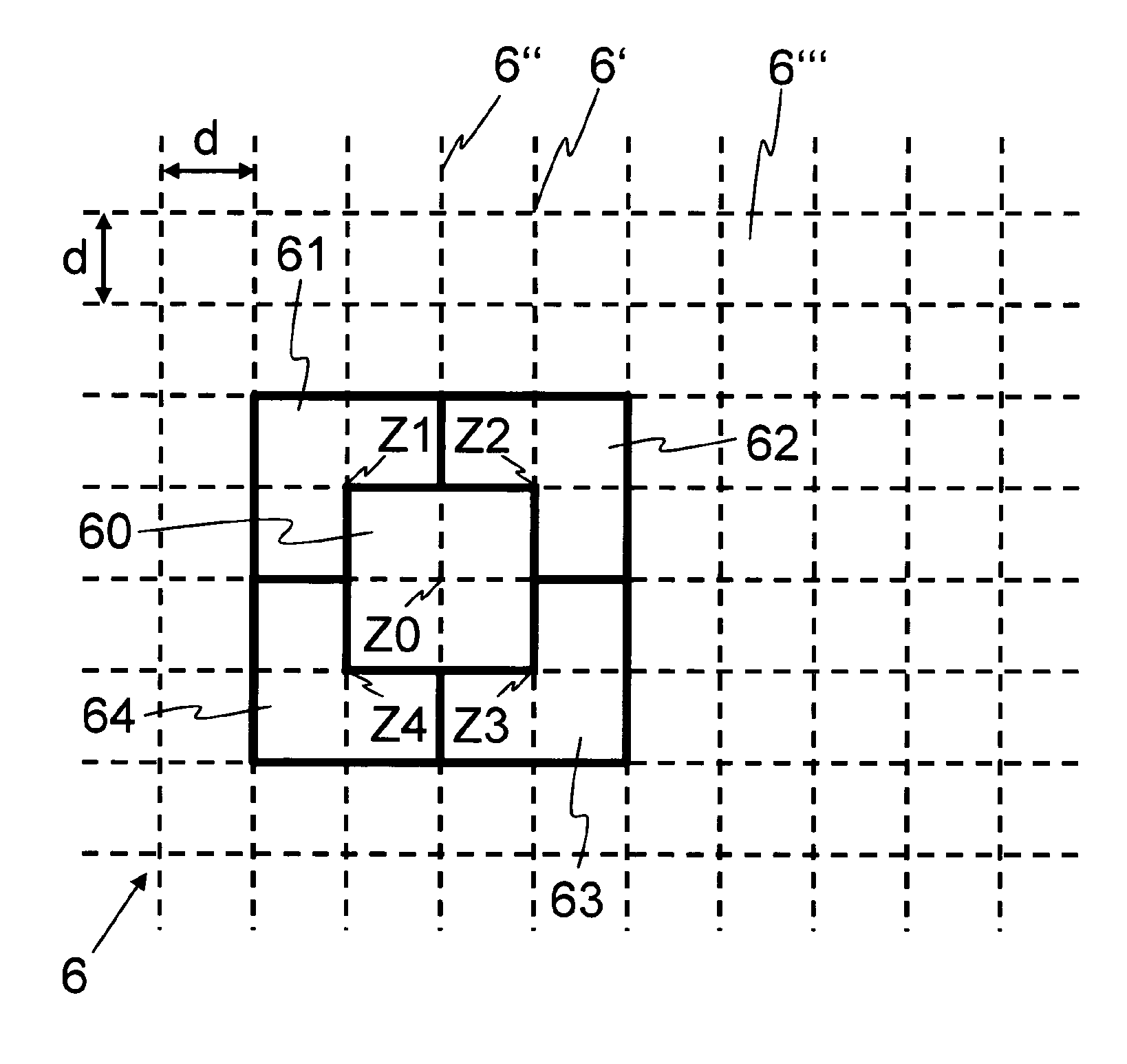
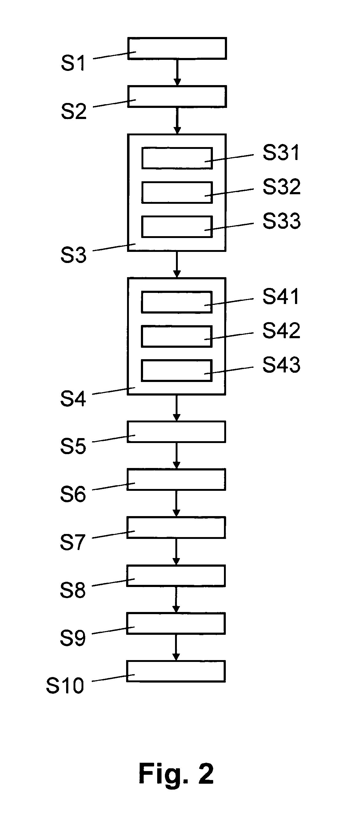
[0005]According to the present invention, the above-mentioned objects are particularly achieved in that for generating a pictorial reference database from a plurality of digital images, a plurality of distributed geographical sub-areas are defined. For example, the geographical sub-areas are arranged on a grid and are defined such that geographical sub-areas with a neighboring centre on the grid have a partial overlap. For example, the digital images are retrieved from a community image collection, such as Flickr, which is publicly accessible over
the Internet. For example, the distributed geographical sub-areas are defined in each case as a regular geometrical shape, e.g. a square of approximately 200 m by 200 m, and the centre of the geometrical shape is arranged on a different intersection of a grid laid over a geographical area, e.g. a grid with square grid cells having intersections spaced at 100 m over the globe, a continent, a country or another geographical area. For at least one of the geographical sub-areas, selected from the plurality of digital images are images with a geo-tag located in the respective geographic sub-area. For example, a geo-tag is represented as a set of coordinates, e.g. GPS coordinates (
Global Positioning System), location information from a
mobile radio network, such as
cell or
base station identifier,
textual information, e.g. a
zip code or a name of a location, or another type of location information. For the selected images, generated are feature vectors for localized visual features of the selected images. For example, the feature vectors are generated for scale-invariant interest points. For pairs of the selected images, matching features are determined based on the feature vectors. For pairs of the selected images having matching features, in each case, a measure of visual similarity is computed based on different geometric arrangements of the localized visual features. For example, the measure of visual similarity is based on the number of inlaying matches of a
geometric transformation between the features of the
image pair. Examples include transformations based on
multiple view geometry, e.g.
homography, fundamental matrix, or any other topological filters, e.g. based on symmetry constraints. Based on the measures of visual similarity, clusters of images with matching objects are determined and these clusters of images are stored in the pictorial reference database. By generating geographical (regional) image subsets, i.e. by selecting from the image collection those that have a geo-tag in a defined, restricted geographical sub-area, the huge collection of images can be divided into subsets of images which can processed individually and possibly in parallel. By allowing neighboring sub-areas to have substantial overlaps, e.g, an overlap of 50%, it can be ensured that clusters falling onto the border between grid cells can be detected, too. Determining and
processing localized visual features makes it possible to detect very accurate matches between depicted objects, even under significant changes / differences in viewpoint, imaging conditions, scale, lighting,
clutter,
noise, and
partial occlusion.
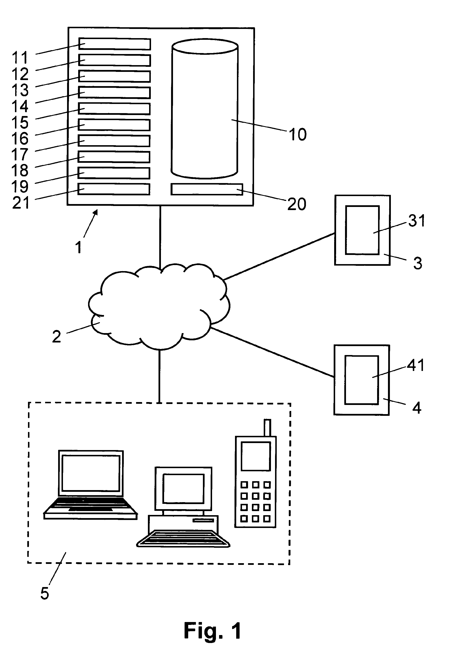
[0011]In another embodiment, received at an information
server from a communication terminal is an information request which includes a
digital image. The received
digital image is matched to one or more matching images of one of the stored clusters stored in the reference database. Returned to the communication terminal is cluster information associated with the cluster containing the matching images. The cluster information includes
textual information, geographical location information and / or a link for retrieving further related information, e.g. from an Internet-based data collection. Matching an image to a cluster in the reference database not only makes is possible for users to have their images provided automatically with metadata such as textual annotations and / or geo-tags (auto-
annotation, automatic geo-tagging), but it also enables to process and include in the reference database from a community image collection images which are not provided with a geo-tag. In this way, the reference data-base can be established from geo-tagged images, in a first step, and from images without a geo-tag, in a subsequent second step.