
Method for sorting characters of ground object through interfusion of satellite carried microwave and infrared remote sensing

A ground object feature and infrared technology, which is applied in character and pattern recognition, instruments, computer parts, etc., can solve the problems that the classification method cannot obtain the ideal classification effect and is easy to fall into the local minimum

Inactive Publication Date: 2006-04-19
FUDAN UNIV
View PDF0 Cites 23 Cited by
  • Summary
  • Abstract
  • Description
  • Claims
  • Application Information

AI Technical Summary

Problems solved by technology

The classification of surface features by using multi-source remote sensing fusion images is one of the hotspots in remote sensing research at present, but the diversity and complexity of urban features
In particular, the existence of a large number of artificial ground objects makes the traditional classification methods unable to obtain ideal classification results.
The Back Propagation Artificial Neural Network (BP-ANN) is a first-order approximate mathematical model of the artificial nervous system, which is widely used to solve various nonlinear problems, but it is easy to fall into a local minimum during the training process.

Method used


Image

  • Method for sorting characters of ground object through interfusion of satellite carried microwave and infrared remote sensing
  • Method for sorting characters of ground object through interfusion of satellite carried microwave and infrared remote sensing
  • Method for sorting characters of ground object through interfusion of satellite carried microwave and infrared remote sensing

Examples


Embodiment Construction

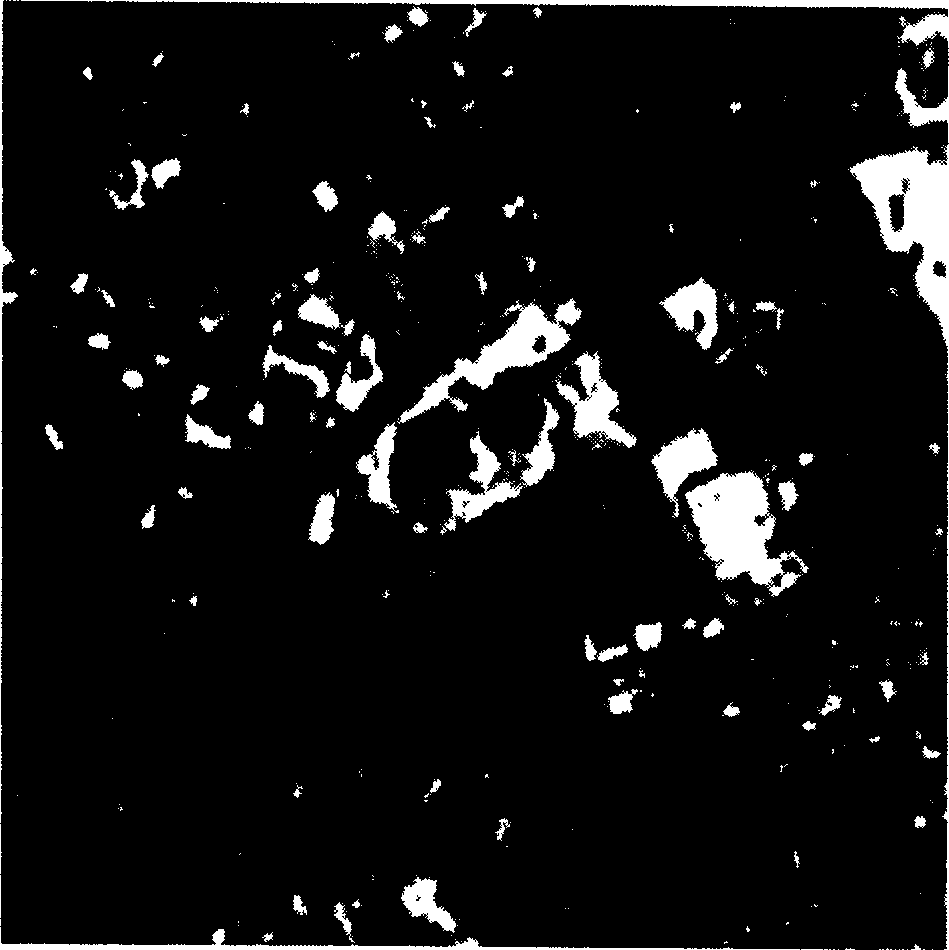
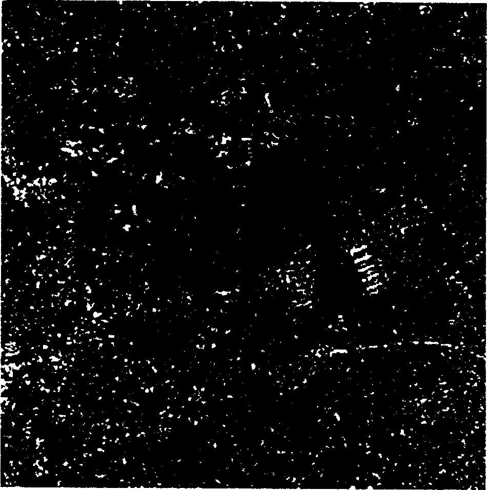
[0054] The present invention selects the area near Shanghai Pudong Century Park with large tracts of land, rivers and buildings. The infrared data is the 4th, 5th, and 7th bands of Landsat ETM+ on November 27, 2002, with a spatial resolution of 30m. figure 1 Band 4 of it is shown. The radar data is ERS-2SAR on April 9, 2002, with a frequency of 5.3GHz, VV polarization, and a spatial resolution of 12.5m, see figure 2 .

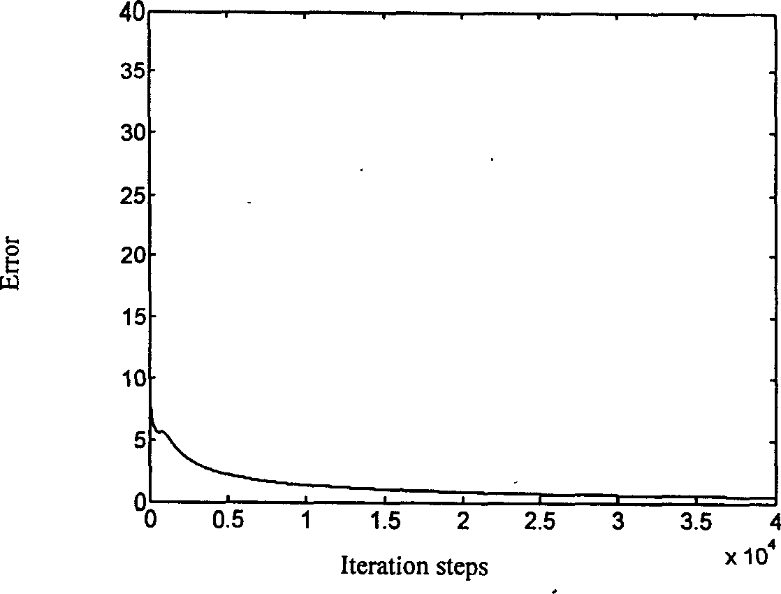
[0055] The present invention divides the ground objects in the research area into five categories: water, grassland, buildings, roads and bare land. First, select 4 samples from the 4th, 5th, and 7th bands of LandsatETM+ for each type of ground object to be classified as the input of BP-ANN, and train them. The obtained training error curve is shown in image 3 , the actual output and target output of the network are shown in Table 1. Then input the same sample on the infrared image into the BP-ANN / GA network, and the obtained training error curve is shown ...


PUM


Abstract

Interfusion between radar image and infrared imagery in pixel level is carried out for complicated city zone by using principal component analysis method. Through combination of back propagation artificial neural network (BP-ANN) and genetic algorithm (GA), BP-ANN / GA hybrid algorithm is built up. By using ability of global optimization of GA algorithm, the method optimizes initial weight value of BP-ANN, overcomes disadvantages of slow convergence rate of traditional BP-ANN, and easy of getting into local minimum so as to increase speed for automatic sorting remote sensing images from multiple sources and accomplish sort for characters of ground objects.

Description

field of invention [0001] The invention belongs to the technical field of space remote sensing and computer image processing, and in particular relates to a method for classifying features of multiple types of ground objects in complex urban areas by using fusion images of space-borne microwave synthetic aperture radar and infrared remote sensing. Background technique [0002] Modern remote sensing technology provides multi-resolution, multi-band, and multi-temporal remote sensing image data for earth observation, such as LandsatTM / ETM+, SPOT 5, Quickbird, ERS-1 / 2SAR, and Radarsat, etc., but the images acquired by a single remote sensing method There are significant limitations and variability in the data in terms of geometry, spectrum, and spatial resolution. Multi-source information fusion produces more accurate and reliable estimates and judgments than single-source information by synthesizing multi-source data. It is one of the hotspots of remote sensing research to cla...

Claims


Application Information

Patent Timeline
Patent Type & Authority Applications(China)
IPC IPC(8): G06K9/00
Inventor 金亚秋曹广真
Owner FUDAN UNIV
Learn More