Intelligent combined plane display system with geographic landforms and building form pattern
A technology of display system and intelligent control system, which is applied in the field of display and control of two-dimensional or three-dimensional patterns, and can solve problems such as inability to industrialize production
- Summary
- Abstract
- Description
- Claims
- Application Information
AI Technical Summary
Problems solved by technology
Method used
Image
Examples
Embodiment Construction
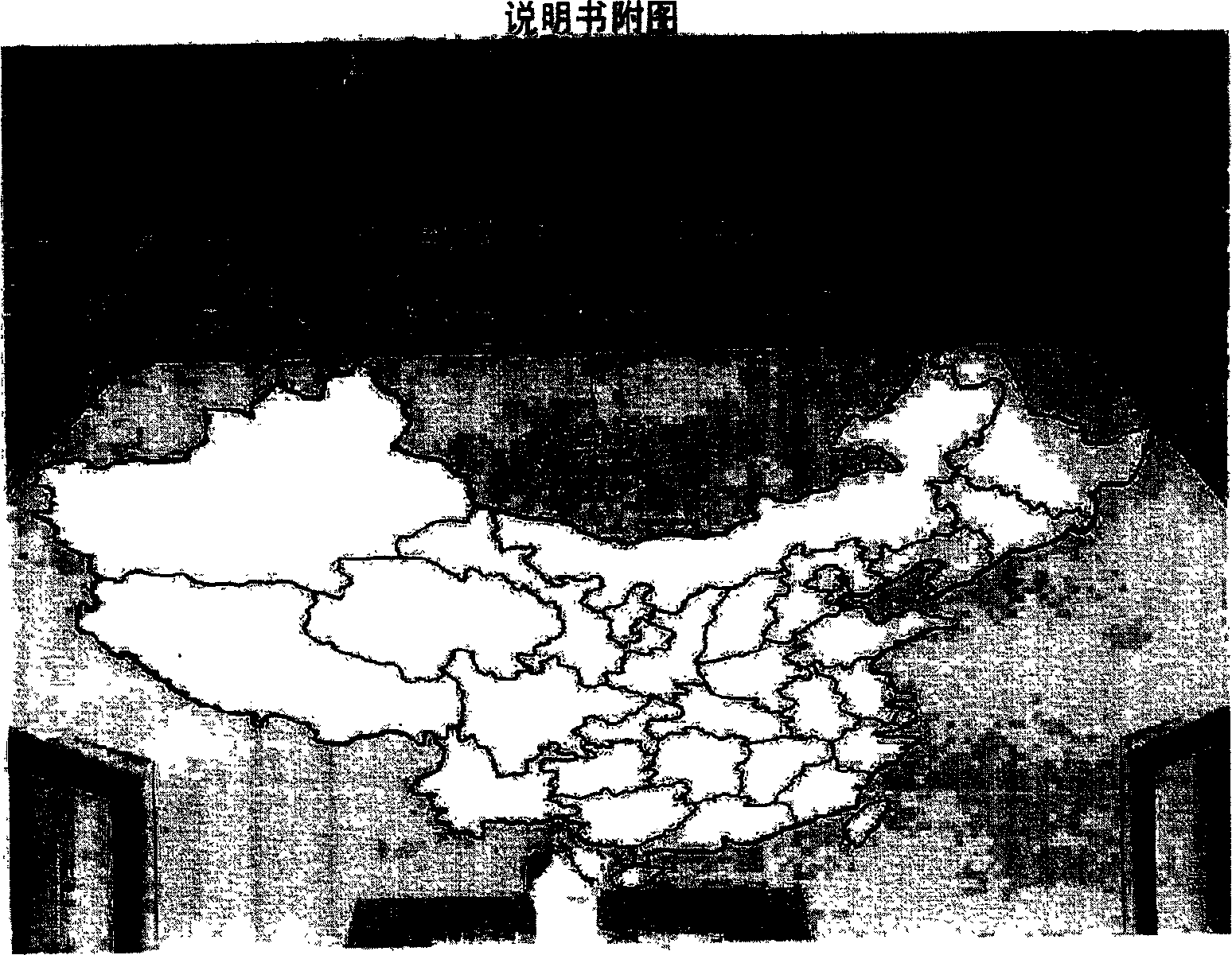
[0016] As shown in the picture, a geographical map of the motherland in Tiananmen Square. The regional map is composed of nearly 5,000 intelligent combined plane display system devices provided by the present invention. Such a huge picture of the magnificent mountains and rivers of the motherland allows people to see the vastness of the motherland, its vast territory and prosperity, and whenever night falls, the luminous square ground and the Chinese territory map are surrounded by the colorful outlines of classic buildings. The lights complement each other, and the artistic conception and atmosphere will make everyone who is on the scene feel excited and excited, and a sense of intimacy that is extremely sacred and warm will arise spontaneously. The Tiananmen Square project is a complex and high-tech system project integrating radiation-proof nano-conductive crystal silicon glass, anti-skid glass and other new materials, solar semiconductors, information and communication, et...
PUM
 Abstract
Description
Claims
Application Information
 - R&D
- Intellectual Property
- Life Sciences
- Materials
- Tech Scout
- Unparalleled Data Quality
- Higher Quality Content
- 60% Fewer Hallucinations
Browse by: Latest US Patents, China's latest patents, Technical Efficacy Thesaurus, Application Domain, Technology Topic, Popular Technical Reports.
© 2025 PatSnap. All rights reserved.Legal|Privacy policy|Modern Slavery Act Transparency Statement|Sitemap|About US| Contact US: help@patsnap.com

