Forest fire preventing monitor system
A monitoring system and forest fire prevention technology, used in forest fire alarms, fire rescue, etc., can solve the problems of undetectable fire points, poor immediacy, and manual labor.
- Summary
- Abstract
- Description
- Claims
- Application Information
AI Technical Summary
Problems solved by technology
Method used
Image
Examples
Embodiment approach 1
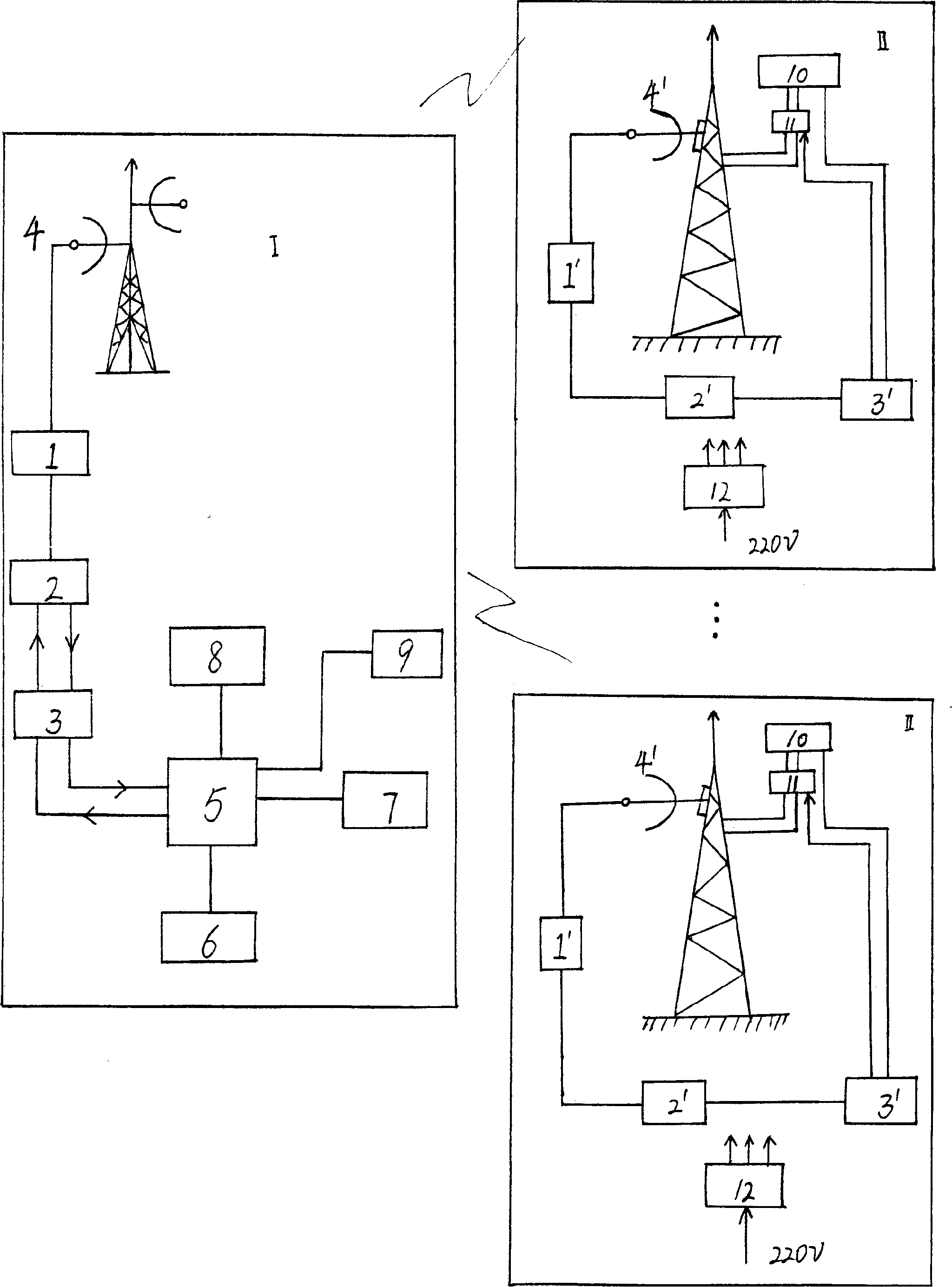
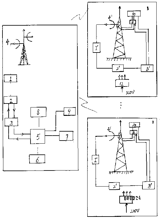
[0013] Embodiment 1, as shown in the figure, its system structure can be other parts except computer 9 in the figure, and the forest fire prevention monitoring system of the present invention, it sets up control center 1 and several monitoring areas, and monitoring areas can be according to forest area coverage , divide the forest area into a number of monitoring areas such as 4, 6, 7, 9, 10...20, etc., each monitoring area establishes a monitoring point II at its appropriate location, and registers all monitoring points and their areas Numbering, monitoring point II is set up commanding heights such as towers, pylons, etc., with a cloud platform 11 (also known as a turntable) on the commanding heights, and a controllable zoom digital camera 10 with a protective cover is configured on the cloud platform, which can be selected according to the actual needs of the scanning area. The cameras with the required multiples and resolutions are fixed, and the microwave network is used f...
Embodiment approach 2
[0014] Embodiment 2, as shown in the figure, except for the following technical content, other parts are the same as the corresponding parts of Embodiment 1. The host computer in the control center has a matrix 5 and a computer 9. The computer 9 is equipped with the electronic map system GIS of the forest area and corresponding alarm software. According to the received real-time incident scene image information combined with GIS, the exact location of the incident scene is determined and an alarm is automatically generated. Signal. The above-mentioned GIS is equipped with a fire extinguishing plan database, which can automatically generate a fire extinguishing plan in due course according to the received image information of the scene of the incident; the control center computer is also equipped with GPS; the combination of GIS and GPS and other personnel required for the implementation of the fire extinguishing plan, Routes, equipment, etc. are dispatched and commanded. The ...
PUM
 Abstract
Description
Claims
Application Information
 - R&D
- Intellectual Property
- Life Sciences
- Materials
- Tech Scout
- Unparalleled Data Quality
- Higher Quality Content
- 60% Fewer Hallucinations
Browse by: Latest US Patents, China's latest patents, Technical Efficacy Thesaurus, Application Domain, Technology Topic, Popular Technical Reports.
© 2025 PatSnap. All rights reserved.Legal|Privacy policy|Modern Slavery Act Transparency Statement|Sitemap|About US| Contact US: help@patsnap.com


