Bridge survey method
A technology of bridges and solutions, applied in the fields of earthwork drilling, image data processing, instruments, etc., can solve the problems of large specimen volume, time-consuming and labor-intensive, and huge energy consumption.
- Summary
- Abstract
- Description
- Claims
- Application Information
AI Technical Summary
Problems solved by technology
Method used
Image
Examples
Embodiment 1
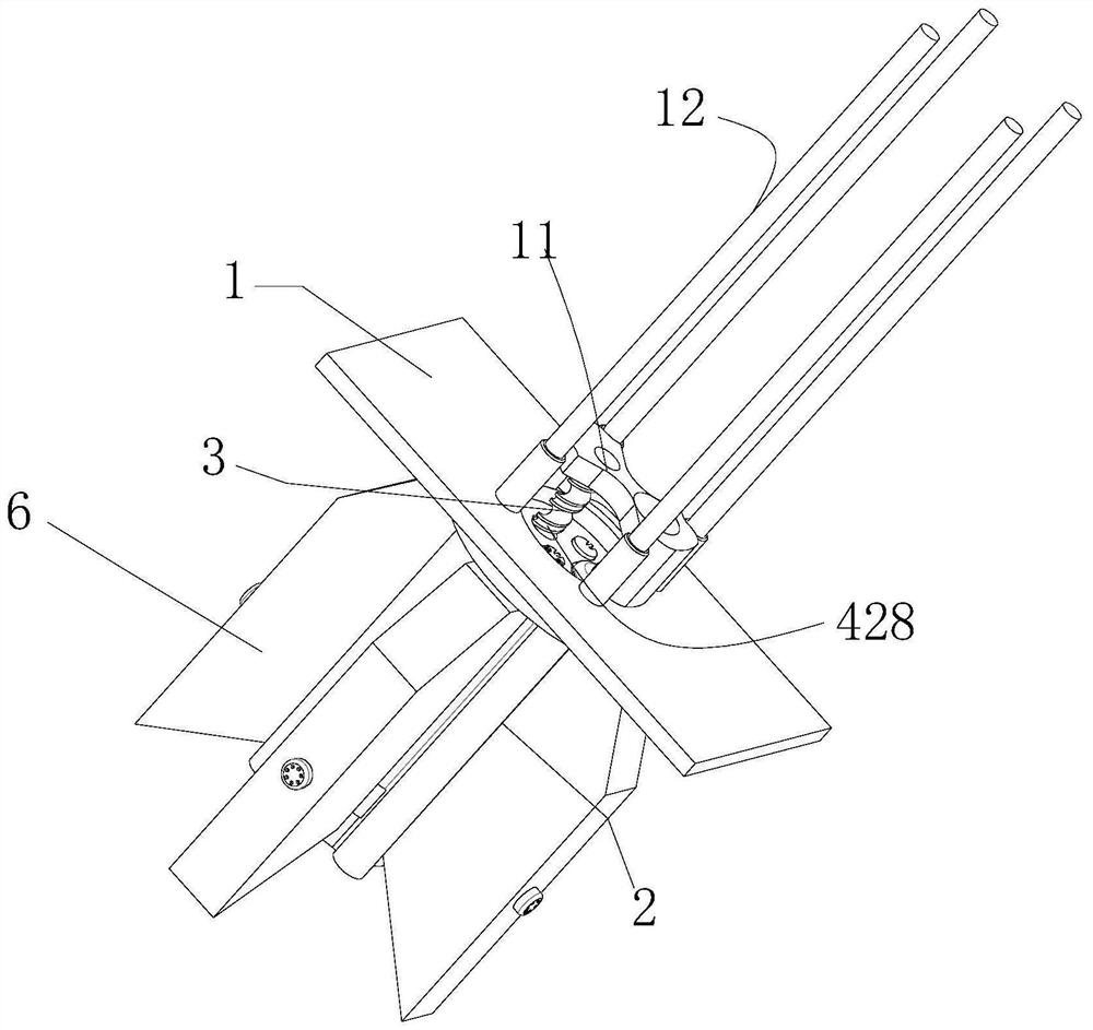
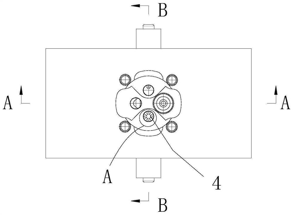
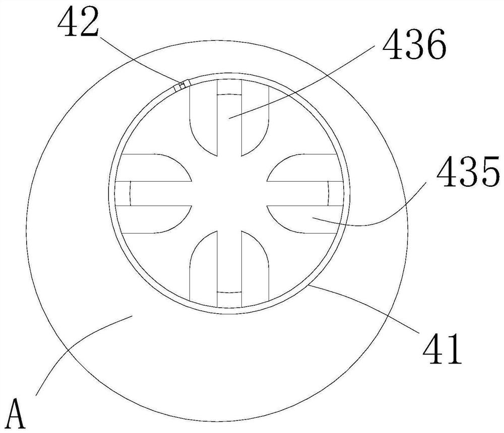
[0041] Such as Figure 1-16 Shown, a bridge survey method, including the following steps:
[0042] (1) Obtain 3D ground and geological data;
[0043] (2) Using remote sensing, aerial survey, satellite images and airborne lidar system data to establish a three-dimensional digital elevation model (DEM for short), digital orthophoto map (DOM for short), and generate a three-dimensional ground solid surface model (DigitalGround) from DEM and DOM data Surface Or Solid Model, abbreviated as DGSM);
[0044] (3) Use drilling rigs and geological survey reports to generate 3D geological data, interpolate the 3D geological data, and superimpose the 3D geological data on the 3D ground solid surface model to generate a 3D Geological Surface Or Solid Model (Digital Geological Surface Or Solid Model, abbreviated as DGESM );
[0045] (4) Generate a 3D bridge solid model (Digital Bridge SolidModel, abbreviated as DBSM) according to the route parameters and bridge model parameters. The 3D br...
PUM
 Abstract
Description
Claims
Application Information
 - R&D
- Intellectual Property
- Life Sciences
- Materials
- Tech Scout
- Unparalleled Data Quality
- Higher Quality Content
- 60% Fewer Hallucinations
Browse by: Latest US Patents, China's latest patents, Technical Efficacy Thesaurus, Application Domain, Technology Topic, Popular Technical Reports.
© 2025 PatSnap. All rights reserved.Legal|Privacy policy|Modern Slavery Act Transparency Statement|Sitemap|About US| Contact US: help@patsnap.com


