Roadway excavation unfavorable orientation solving method based on laser scanning, BQ and RQDt
A technology of laser scanning and roadway, which is applied in the generation of 2D images, 3D modeling, and interpretation of photos, etc. It can solve the problems that RQD anisotropy cannot be reflected
- Summary
- Abstract
- Description
- Claims
- Application Information
AI Technical Summary
Problems solved by technology
Method used
Image
Examples
Embodiment Construction
[0222] The present invention will be further described below with reference to the accompanying drawings.
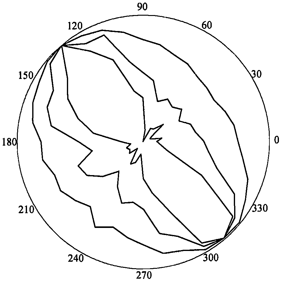
[0223] refer to Figure 1 to Figure 5 , a laser-scanning, BQ and RQD-based t The method for solving the unfavorable azimuth of roadway excavation includes the following steps:
[0224] 1) Rapid acquisition of structural plane 3D laser scanning, the process is as follows:
[0225] 1.1: According to the scanning target and site conditions, select the location of the scanning machine and set up a tripod. During the erection, it is necessary to ensure that the instrument can completely obtain the three-dimensional point cloud information of the slope rock mass according to a certain scanning route, and at the same time, the tripod table should be ensured as much as possible. level, and place control targets;
[0226] 1.2: Place the scanner host on the tripod table, fix the knob, center the bubble of the host by coarsely adjusting the tripod and fine-tuning the scanner bas...
PUM
 Abstract
Description
Claims
Application Information
 - R&D
- Intellectual Property
- Life Sciences
- Materials
- Tech Scout
- Unparalleled Data Quality
- Higher Quality Content
- 60% Fewer Hallucinations
Browse by: Latest US Patents, China's latest patents, Technical Efficacy Thesaurus, Application Domain, Technology Topic, Popular Technical Reports.
© 2025 PatSnap. All rights reserved.Legal|Privacy policy|Modern Slavery Act Transparency Statement|Sitemap|About US| Contact US: help@patsnap.com


