
Three-dimensional geologic model construction method

A technology of three-dimensional geology and construction methods, applied in 3D modeling, image data processing, instruments, etc., can solve problems such as mistakes, difficulties in engineering design and construction, and difficulties for ordinary geologists

Inactive Publication Date: 2020-07-07
山东省地质矿产勘查开发局八〇一水文地质工程地质大队 +1
View PDF3 Cites 11 Cited by
  • Summary
  • Abstract
  • Description
  • Claims
  • Application Information

AI Technical Summary

Problems solved by technology

[0003] However, the inventor found through research that there is a lot of geological information. Facing a large amount of two-dimensional map data, it is difficult for ordinary geologists to fully and accurately understand the overall geological situation, which will inevitably bring difficulties and mistakes to engineering design and construction.

Method used


Image

  • Three-dimensional geologic model construction method

Examples


Embodiment Construction

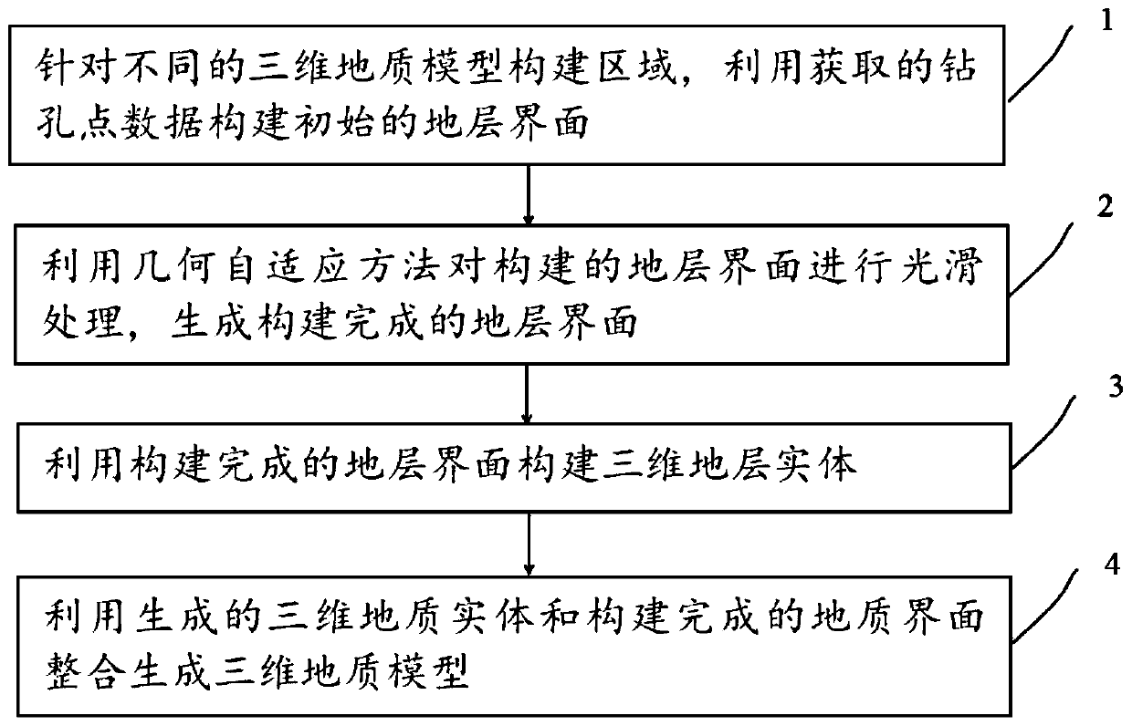
[0022] The following will clearly and completely describe the technical solutions in the embodiments of the present invention with reference to the accompanying drawings in the embodiments of the present invention. Obviously, the described embodiments are only some, not all, embodiments of the present invention. Based on the embodiments of the present invention, all other embodiments obtained by persons of ordinary skill in the art without creative efforts fall within the protection scope of the present invention.

[0023] In the study of urban geology, the 3D geological model can assist in the study of the distribution of underground strata and the distribution of fault structures in urban areas. Combined with the three-dimensional geological model, it can assist urban regional construction planning. Under the premise of studying groundwater resources and potential geological hazards, rationally develop and utilize underground space in urban areas, mine groundwater resources, ...


PUM


Abstract

The invention discloses a three-dimensional geologic model construction method applied to an alluvial plain city area, which comprises the following steps of: constructing an initial stratum interfaceby utilizing acquired drilling point data aiming at different three-dimensional geologic model construction areas; carrying out smoothing processing on the constructed stratum interface by utilizinga geometric self-adaptive method to generate a constructed stratum interface; constructing a three-dimensional stratum entity by utilizing the constructed stratum interface; and integrating the generated three-dimensional geological entity and the constructed geological interface to generate a three-dimensional geological model. According to the method, a three-dimensional stratum interface can beaccurately established, a data interpolation method is adopted for an area with sparse drilling point data to increase the point density, geometric distortion generated in the data interpolation process is corrected in combination with discrete smooth interpolation, and a smooth three-dimensional geologic model meeting the actual situation is generated.

Description

technical field [0001] The invention relates to the technical field of geographic information systems, in particular to a three-dimensional geological model construction method applied to urban areas of alluvial plains. Background technique [0002] Alluvial plains are plain landforms formed by river sedimentation. The water flow in the downstream of the river is not as rapid as that in the upstream. A large amount of sediment has been eroded from the upstream to the downstream, and the flow velocity is no longer sufficient to carry the sediment. As a result, the sediment is deposited downstream. Especially when the river is flooded, sediment is deposited on both sides of the river, and the alluvial plain is gradually formed. Now, the construction of the geological model of the urban area formed by the flood plain is a top priority. [0003] However, the inventor found through research that there is a lot of geological information, and it is difficult for ordinary geologis...

Claims


Application Information

Patent Timeline
IPC IPC(8): G06T17/05
CPCG06T17/05
Inventor 冯泉霖赵振华韩琳孙虹洁张慧张洁徐杨崔亮亮
Owner 山东省地质矿产勘查开发局八〇一水文地质工程地质大队
Learn More