Multi-base radar target positioning method based on grid division
A radar target and positioning method technology, applied in the field of radar detection, can solve the problems of false points, large amount of calculation, etc., achieve the effect of reducing false positioning results and improving real-time positioning efficiency
- Summary
- Abstract
- Description
- Claims
- Application Information
AI Technical Summary
Problems solved by technology
Method used
Image
Examples
Embodiment Construction
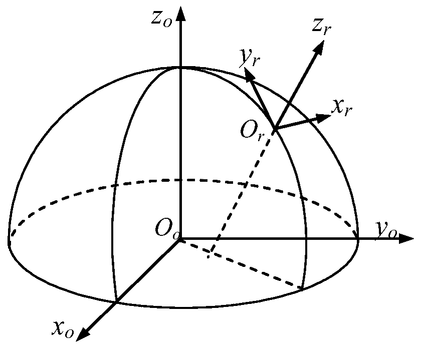
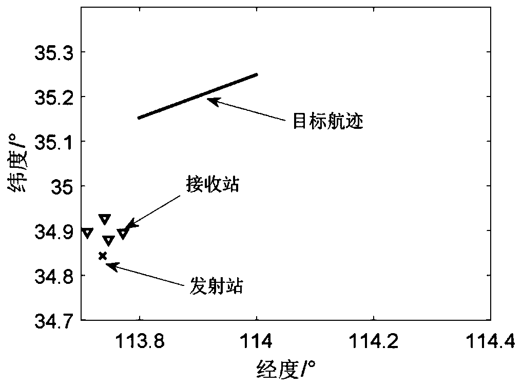
[0040] In order to better understand the technical scheme of the present invention, the following in conjunction with the attached Figure 1-5 Embodiments of the present invention are further described.
[0041] The present invention is a kind of multi-base radar target positioning method based on grid division, such as Figure 5 As shown, the specific steps are as follows:
[0042] Step 1. Define the coordinate system
[0043]Define the geodetic coordinate system, the earth-centered rectangular coordinate system, the radar station rectangular coordinate system, and the related coordinate transformation formulas are described as follows:
[0044] (a) Geodetic coordinate system
[0045] The geodetic coordinates of a point Q in space are coordinates based on the starting geodetic meridian plane, equatorial plane, and ellipsoidal plane, including geodetic longitude L, geodetic latitude B, and geodetic elevation H.
[0046] Geodetic longitude: the angle between the geodetic me...
PUM
 Abstract
Description
Claims
Application Information
 - R&D Engineer
- R&D Manager
- IP Professional
- Industry Leading Data Capabilities
- Powerful AI technology
- Patent DNA Extraction
Browse by: Latest US Patents, China's latest patents, Technical Efficacy Thesaurus, Application Domain, Technology Topic, Popular Technical Reports.
© 2024 PatSnap. All rights reserved.Legal|Privacy policy|Modern Slavery Act Transparency Statement|Sitemap|About US| Contact US: help@patsnap.com


