A Geological Mapping Method of Lunar Impact Craters Based on Remote Sensing Data
A technology for remote sensing data and impact craters, which is applied in the fields of planetary remote sensing and planetary geology, and can solve the problems of lack of detailed representation of topographic and structural information and low resolution of impact crater mapping.
- Summary
- Abstract
- Description
- Claims
- Application Information
AI Technical Summary
Problems solved by technology
Method used
Image
Examples
Embodiment Construction
[0079]It should be noted that the following detailed description is illustrative and is intended to provide a further description of the present application. Unless otherwise indicated, all technical and scientific terms used herein have the same meaning as commonly understood by those skilled in the art of this application.
[0080]It should be noted that the terms used herein are intended to describe specific embodiments, and not intended to limit the exemplary embodiments of the present application. As used herein, unless the context further clearly indicates that the singular form is intended to include a plural form, but it should be understood that when the term "including" and / or "including" is used in this specification, it indicates There is a combination of features, steps, operations, devices, components, and / or their combinations.
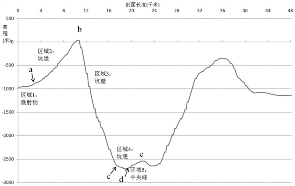
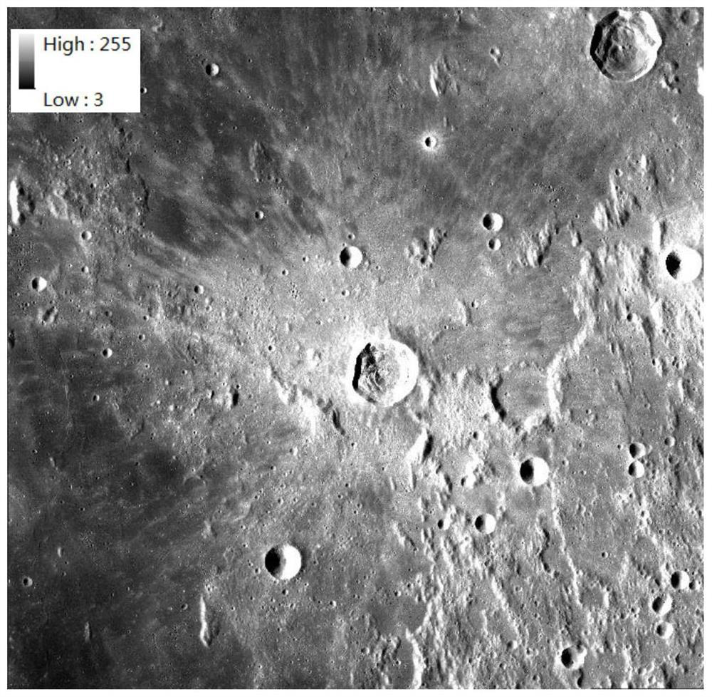
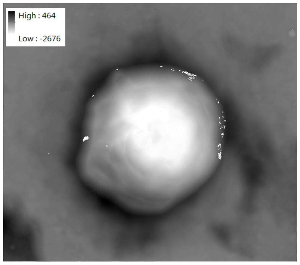
[0081]In a typical embodiment of the present application, the present invention is divided into four steps in the geological filling of the mo...
PUM
 Abstract
Description
Claims
Application Information
 - R&D Engineer
- R&D Manager
- IP Professional
- Industry Leading Data Capabilities
- Powerful AI technology
- Patent DNA Extraction
Browse by: Latest US Patents, China's latest patents, Technical Efficacy Thesaurus, Application Domain, Technology Topic, Popular Technical Reports.
© 2024 PatSnap. All rights reserved.Legal|Privacy policy|Modern Slavery Act Transparency Statement|Sitemap|About US| Contact US: help@patsnap.com


