Land use dynamic evolution simulation method and system for coping with sea-level rise
A technology of dynamic evolution and sea level, applied in data processing applications, instruments, calculations, etc., can solve problems such as difficult to guide urban planning practices in coastal areas, and inability to directly obtain land use adaptation strategies to deal with climate impacts
- Summary
- Abstract
- Description
- Claims
- Application Information
AI Technical Summary
Problems solved by technology
Method used
Image
Examples
Embodiment Construction
[0031] In order to make the object, technical solution and advantages of the present invention clearer, the present invention will be further described in detail below in conjunction with the accompanying drawings and embodiments. It should be understood that the specific embodiments described here are only used to explain the present invention, not to limit the present invention. In addition, the technical features involved in the various embodiments of the present invention described below can be combined with each other as long as they do not constitute a conflict with each other.
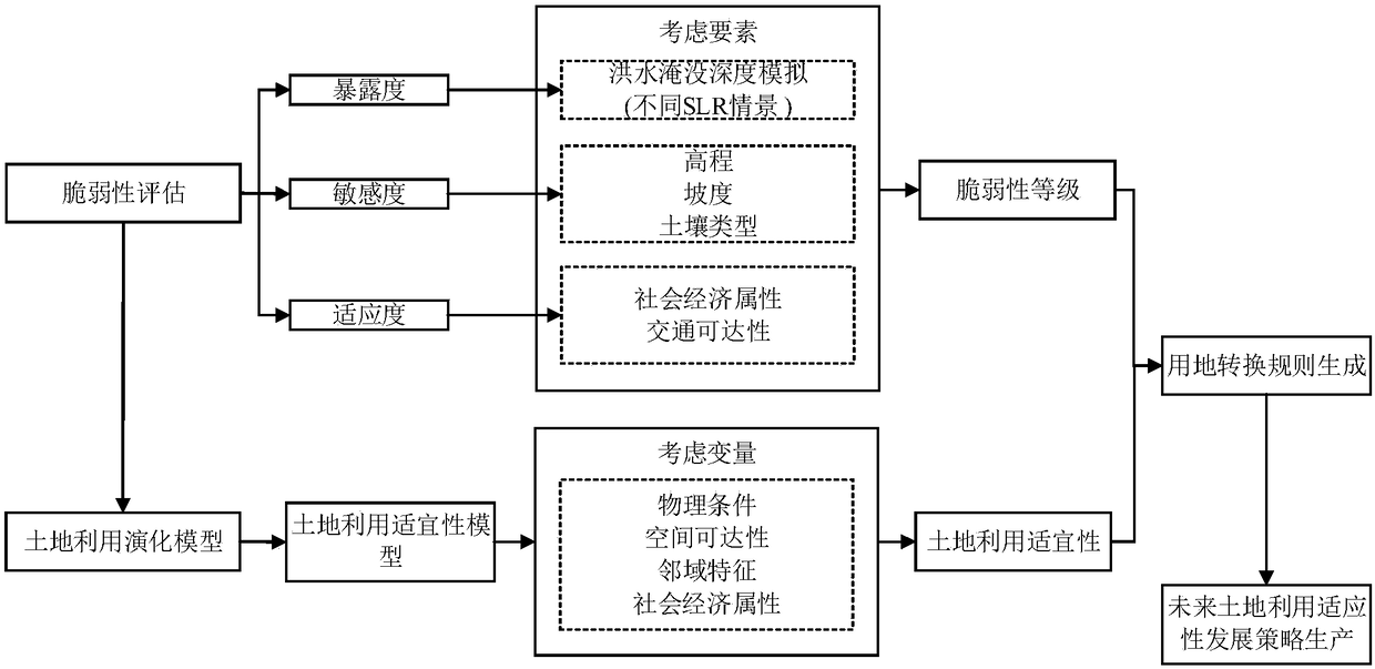
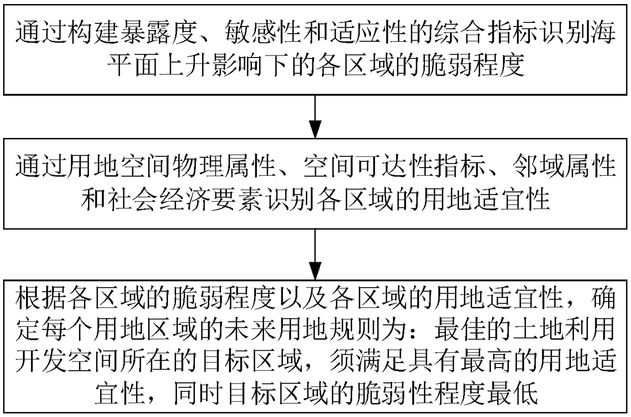
[0032] By integrating climate change impact assessment and land use dynamic evolution, the present invention can intuitively obtain the future urban land development strategy in response to sea level rise, so as to ensure high-suitability and low-risk urban space resource allocation, which can help coastal cities respond to climate change. In this context, formulate disaster-resistant and resili...
PUM
 Abstract
Description
Claims
Application Information
 - R&D Engineer
- R&D Manager
- IP Professional
- Industry Leading Data Capabilities
- Powerful AI technology
- Patent DNA Extraction
Browse by: Latest US Patents, China's latest patents, Technical Efficacy Thesaurus, Application Domain, Technology Topic, Popular Technical Reports.
© 2024 PatSnap. All rights reserved.Legal|Privacy policy|Modern Slavery Act Transparency Statement|Sitemap|About US| Contact US: help@patsnap.com


