Night light intensity-based estimation method of average house price of city residences
A technology of light intensity and night light, applied in the application field of remote sensing economic geology, can solve the problems of not using remote sensing data, lack of spatial analysis, etc.
- Summary
- Abstract
- Description
- Claims
- Application Information
AI Technical Summary
Problems solved by technology
Method used
Image
Examples
Embodiment Construction
[0038] In order to better understand the technical solutions of the present invention, the technical solutions of the present invention are described in detail below with reference to the accompanying drawings and the flow of the embodiments.
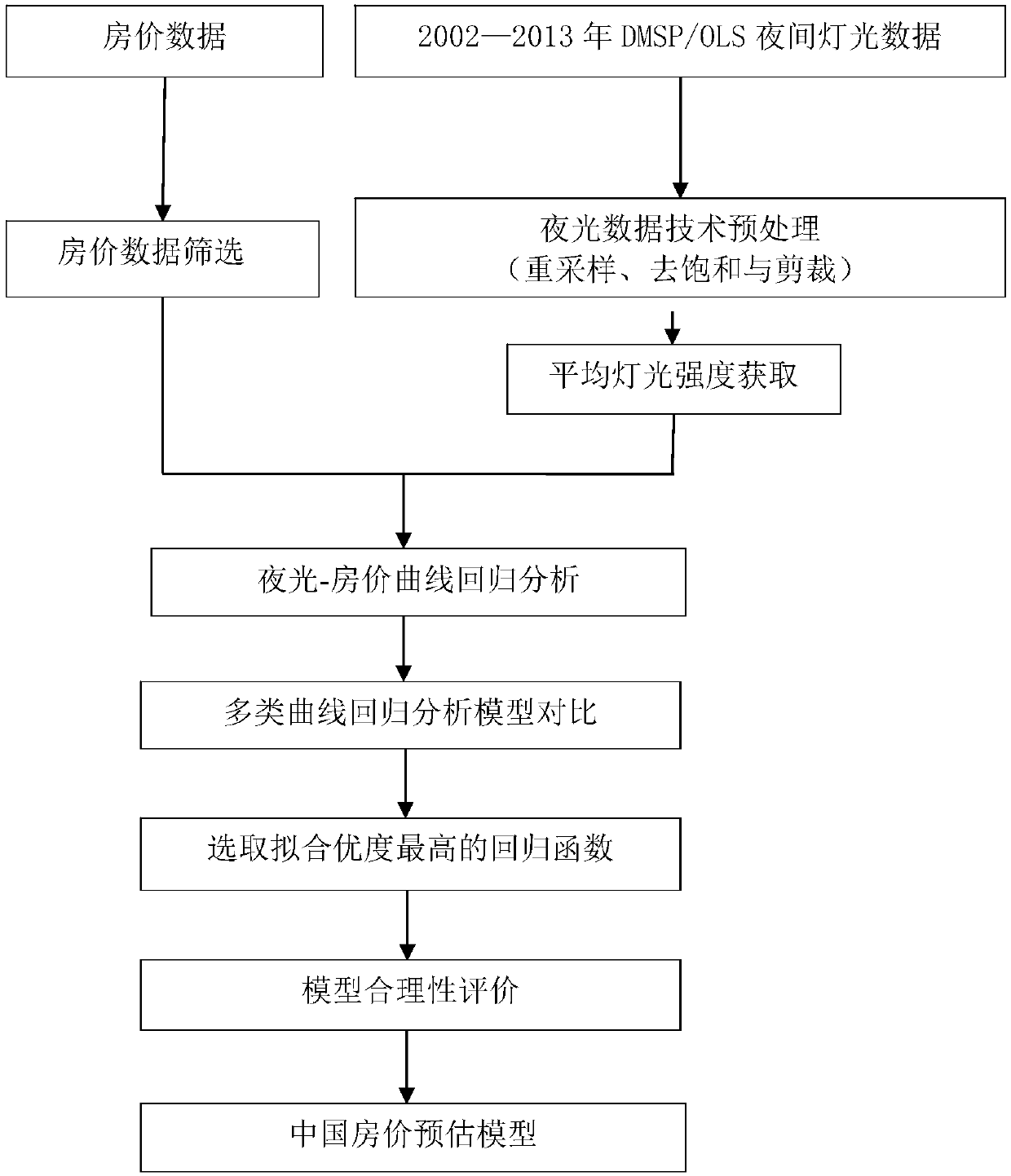
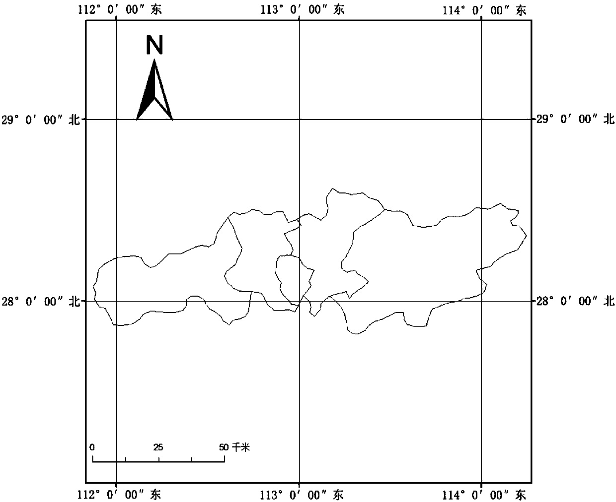
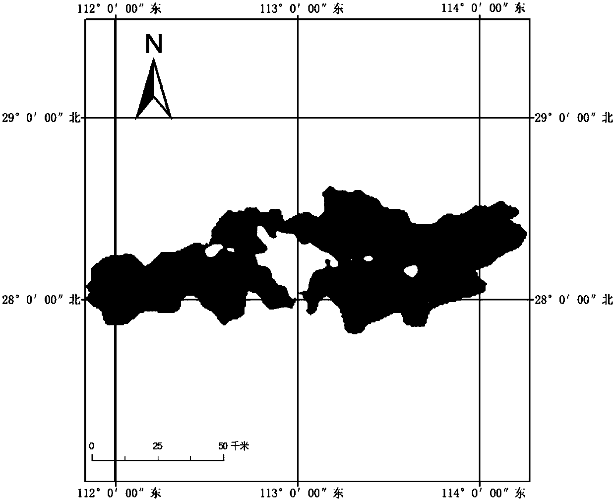
[0039] The present invention uses DMSP / OLS night light remote sensing data to conduct house price research. The data is acquired by the Operational Linescan System (OLS) sensor carried by the Defense Meteorological Satellite Program (DMSP) of the US military meteorological satellite. This sensor can detect the weak intensity light on the surface, And not disturbed by light and shadow. Therefore, noctilucent remote sensing data has the characteristics of convenience in acquisition, dynamic in time and objectivity in geospatial. see figure 1 , the embodiment of the present invention takes Changsha as an example, and the specific implementation steps are as follows:
[0040] Step 1: Collect and filter the average house price data to obta...
PUM
 Abstract
Description
Claims
Application Information
 - R&D
- Intellectual Property
- Life Sciences
- Materials
- Tech Scout
- Unparalleled Data Quality
- Higher Quality Content
- 60% Fewer Hallucinations
Browse by: Latest US Patents, China's latest patents, Technical Efficacy Thesaurus, Application Domain, Technology Topic, Popular Technical Reports.
© 2025 PatSnap. All rights reserved.Legal|Privacy policy|Modern Slavery Act Transparency Statement|Sitemap|About US| Contact US: help@patsnap.com


