A Reversible Decryption Method of Vector Raster Geographic Data Based on Trigonometric Functions
A technology of vector geographic data and trigonometric functions, applied in the field of geographic information security, can solve problems such as unsatisfactory topological relations, difficult high-precision recovery, and slow processing speed
- Summary
- Abstract
- Description
- Claims
- Application Information
AI Technical Summary
Problems solved by technology
Method used
Image
Examples
Embodiment
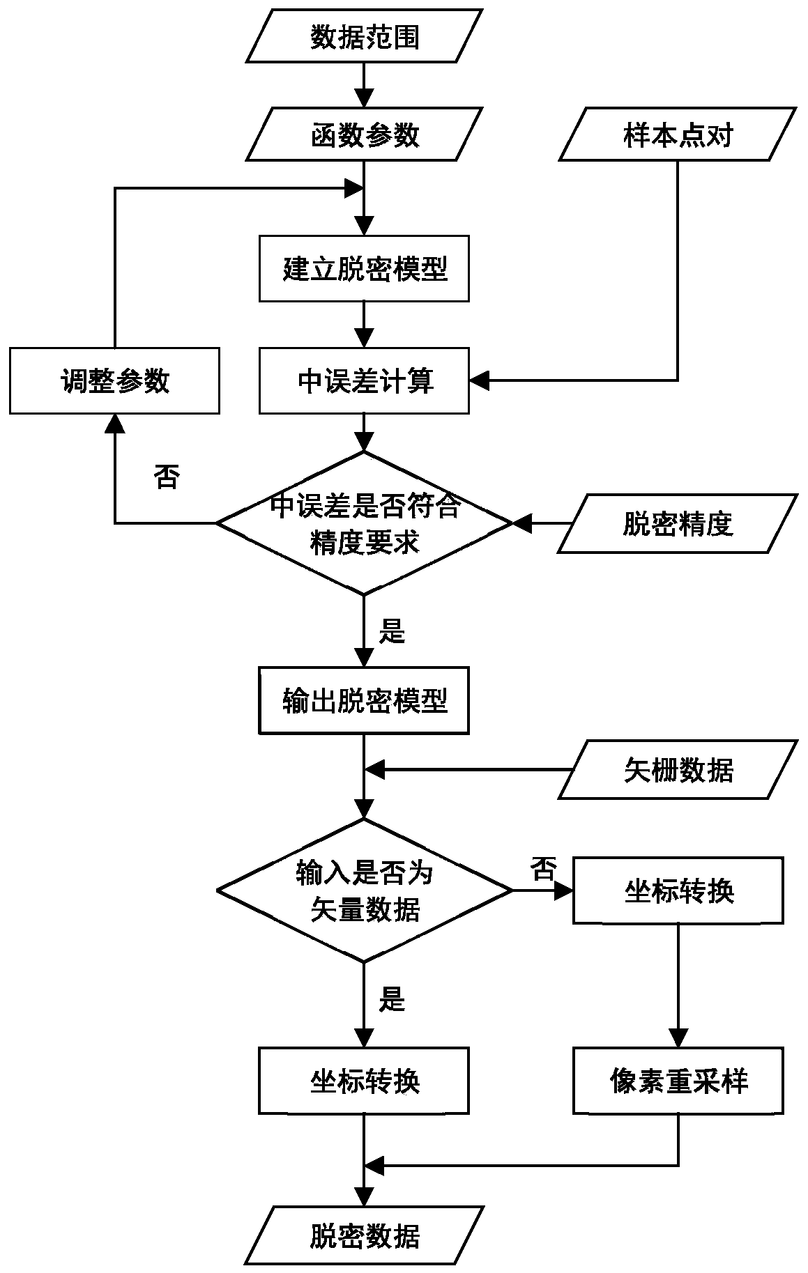
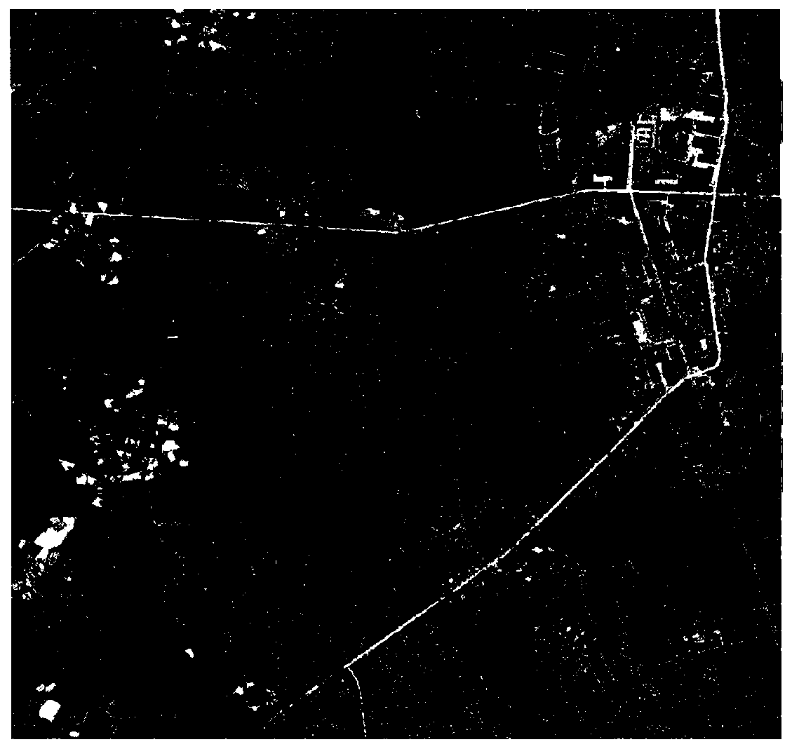
[0062] Embodiment: a kind of reversible deciphering method of vector raster geographic data based on trigonometric functions, such as figure 1 As shown, this embodiment selects the raster geographic data in tif format and the vector geographic data in shp format in the same area of a certain place as the original vector raster geographic data, and its coordinate system is the WGS84 projected coordinate system, and the scale is 1:2000. The resolution of the raster data is 0.2m, the data size is 3667*3475, the original vector raster geographic data such as figure 2 As shown, the specific operation is as follows:
[0063] (1) Establishing a trigonometric function model
[0064] The trigonometric function model is established by adding a sine function and a cosine function, and its expression is as follows:
[0065] f(x)=b(a sin(ω 1 x)+(1-a)cos(ω 2 x)) (1)
[0066] where b is the amplitude value, a is used to control the shape of the function, ω 1 and ω 2 Determines the ...
PUM
 Abstract
Description
Claims
Application Information
 - R&D
- Intellectual Property
- Life Sciences
- Materials
- Tech Scout
- Unparalleled Data Quality
- Higher Quality Content
- 60% Fewer Hallucinations
Browse by: Latest US Patents, China's latest patents, Technical Efficacy Thesaurus, Application Domain, Technology Topic, Popular Technical Reports.
© 2025 PatSnap. All rights reserved.Legal|Privacy policy|Modern Slavery Act Transparency Statement|Sitemap|About US| Contact US: help@patsnap.com


