Navigation information generation method and system and terminal equipment
A technology of navigation information and terminal equipment, applied in navigation, surveying and mapping and navigation, road network navigator, etc., can solve problems such as high hardware requirements, inability to quickly obtain map information, and influence of image recognition technology shooting angles, etc., to achieve Save operating time, improve efficiency, and improve the effect of navigation experience
- Summary
- Abstract
- Description
- Claims
- Application Information
AI Technical Summary
Problems solved by technology
Method used
Image
Examples
Embodiment 1
[0040] The embodiment of the present invention provides a method for generating navigation information, which is applied to the server side, such as figure 1 As shown, the method includes:
[0041] Step 101: receiving source location information sent by the terminal device;
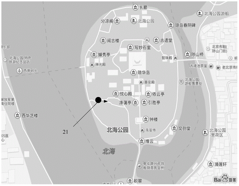
[0042] Step 102: Based on the source location information, at least analyze and obtain source location coordinate information (D), source location direction information, and map identification information (Map ID);
[0043] Step 103: Obtain target map information based on the map identification information in the source location information, and send the target map information to the terminal device;
[0044] Step 104: receiving the target location information sent by the terminal device;
[0045] Step 105: Obtain navigation information based on the target location information, source location coordinate information, and source location direction information, and send the navigation information to the t...
Embodiment 2
[0061] This embodiment provides a method for generating navigation information, which is applied to a terminal device, such as Figure 4 As shown, the method includes:
[0062] Step 401: Collecting source location information, which at least includes source location coordinate information, source location direction information, and map identification information;
[0063] Step 402: Send the source location information to the server side, so that the server side obtains target map information based on the source location information;
[0064] Step 403: receiving and displaying the target map information returned by the server;
[0065] Step 404: Set destination location information, and send the destination location information to the server side, so that the server side generates navigation information based on the target location information, source location coordinate information, and source location direction information;
[0066] Step 405: Receive and display the navigat...
Embodiment 3
[0096] The embodiment of the present invention provides a navigation information generation system, such as Figure 7 shown, including:
[0097] The first information receiving module 71 is configured to receive the source location information sent by the terminal device; wherein, the source location information includes at least source location coordinate information, source location direction information, and map identification information; target location information;
[0098] A map search module 72, configured to obtain target map information based on the map identification information in the source location information, and send the target map information to the terminal device;
[0099] A routing calculation module 73, configured to obtain navigation information based on the target location information, source location coordinate information, and source location direction information;
[0100] The first information sending module 74 is configured to send the navigation...
PUM
 Abstract
Description
Claims
Application Information
 - R&D Engineer
- R&D Manager
- IP Professional
- Industry Leading Data Capabilities
- Powerful AI technology
- Patent DNA Extraction
Browse by: Latest US Patents, China's latest patents, Technical Efficacy Thesaurus, Application Domain, Technology Topic, Popular Technical Reports.
© 2024 PatSnap. All rights reserved.Legal|Privacy policy|Modern Slavery Act Transparency Statement|Sitemap|About US| Contact US: help@patsnap.com


