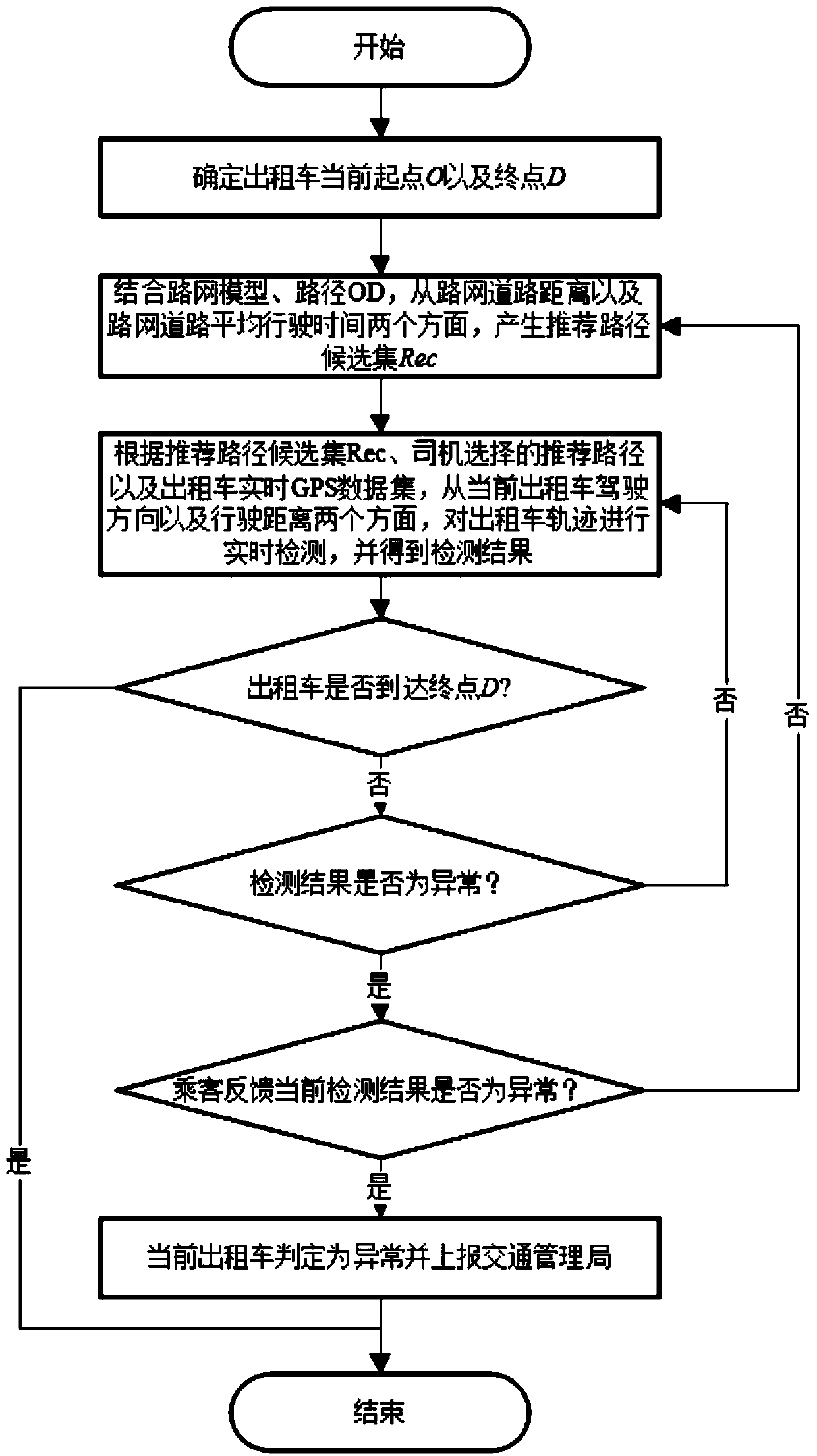
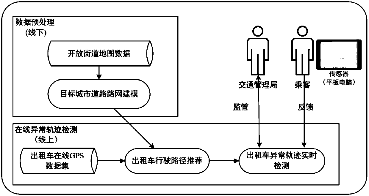
Online GPS data based abnormal taxi track real-time detection method
A GPS data, real-time detection technology, applied in radio wave measurement systems, measurement devices, satellite radio beacon positioning systems, etc., can solve problems such as inability to handle passenger demand, inability to effectively manage taxi market supervision, and achieve detection results. accurate effect
- Summary
- Abstract
- Description
- Claims
- Application Information
AI Technical Summary
Problems solved by technology
Method used
Image
Examples
Embodiment
[0086] In this embodiment, the data sets generated by all the taxis in city A in one month are used to carry out the simulation experiment.
[0087] First, obtain open source open street map data on the Internet for city A, the specific URL is (http: / / www.openstreetmap.org / ), and abstract the Node, Way, Relation, and Tag of the city map data with Section as The road network model of the basic unit, and build a visual user-friendly road network model interface on the Linux server through the data. The specific technologies used are leaflet front-end operation technology and open layer API (WebGISOpenlayersJavascript API).
[0088] Table 2 OD area pair basic information
[0089]
[0090] Then, by simulating the whole process of several taxis actually carrying passengers, the real-time abnormal trajectory detection results of these taxis within a certain period of time are obtained. By extracting 5 pairs of taxi track data in the OD area with relatively large traffic...
PUM
 Abstract
Description
Claims
Application Information
 - Generate Ideas
- Intellectual Property
- Life Sciences
- Materials
- Tech Scout
- Unparalleled Data Quality
- Higher Quality Content
- 60% Fewer Hallucinations
Browse by: Latest US Patents, China's latest patents, Technical Efficacy Thesaurus, Application Domain, Technology Topic, Popular Technical Reports.
© 2025 PatSnap. All rights reserved.Legal|Privacy policy|Modern Slavery Act Transparency Statement|Sitemap|About US| Contact US: help@patsnap.com


