Rapid building height obtaining method based on parameter-free high-resolution image
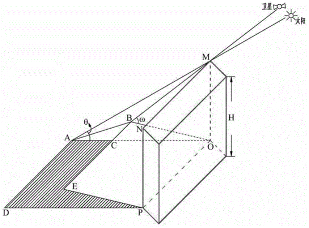
A technology of building height and extraction method, which is applied in the field of rapid extraction of urban building height, and can solve problems such as the limitation of a single image and the inability to know the specific parameters of satellites or other capturing devices
- Summary
- Abstract
- Description
- Claims
- Application Information
AI Technical Summary
Problems solved by technology
Method used
Image
Examples
Embodiment Construction
[0060] The sources of the high-resolution image data in the present invention are relatively wide, and may be satellite images, aerial images, and satellite data that can be shared on the Internet such as Google Earth and Baidu Maps. In particular, the images provided by Google Earth and Baidu Maps are typical high-resolution images without parameters, and special image interception software can be used to obtain corresponding image data within the area to be extracted, which has the advantages of fast speed, high quality, and low stitching error. Small features are beneficial for subsequent image registration.
[0061] In this embodiment, the Google Earth image of some buildings in the urban area of Nanjing is taken as an example to further describe in detail, and the specific steps are as follows:
[0062] 1. Image acquisition and preprocessing
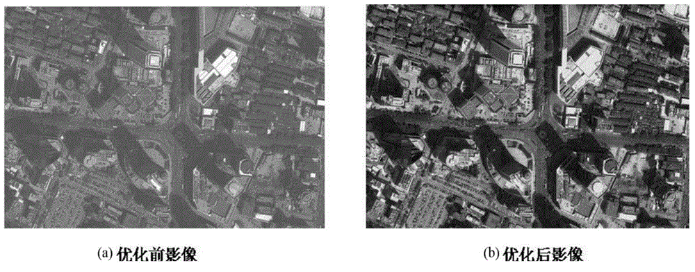
[0063] Because the color quality of images downloaded directly from Google Earth with image interception software is not very g...
PUM
 Abstract
Description
Claims
Application Information
 - Generate Ideas
- Intellectual Property
- Life Sciences
- Materials
- Tech Scout
- Unparalleled Data Quality
- Higher Quality Content
- 60% Fewer Hallucinations
Browse by: Latest US Patents, China's latest patents, Technical Efficacy Thesaurus, Application Domain, Technology Topic, Popular Technical Reports.
© 2025 PatSnap. All rights reserved.Legal|Privacy policy|Modern Slavery Act Transparency Statement|Sitemap|About US| Contact US: help@patsnap.com


