Fixed asset project management system based on geographic information system
A technology of project management system and geographic information system, applied in resources, data processing applications, calculations, etc., can solve problems such as inconvenience in project management
- Summary
- Abstract
- Description
- Claims
- Application Information
AI Technical Summary
Problems solved by technology
Method used
Image
Examples
Embodiment Construction
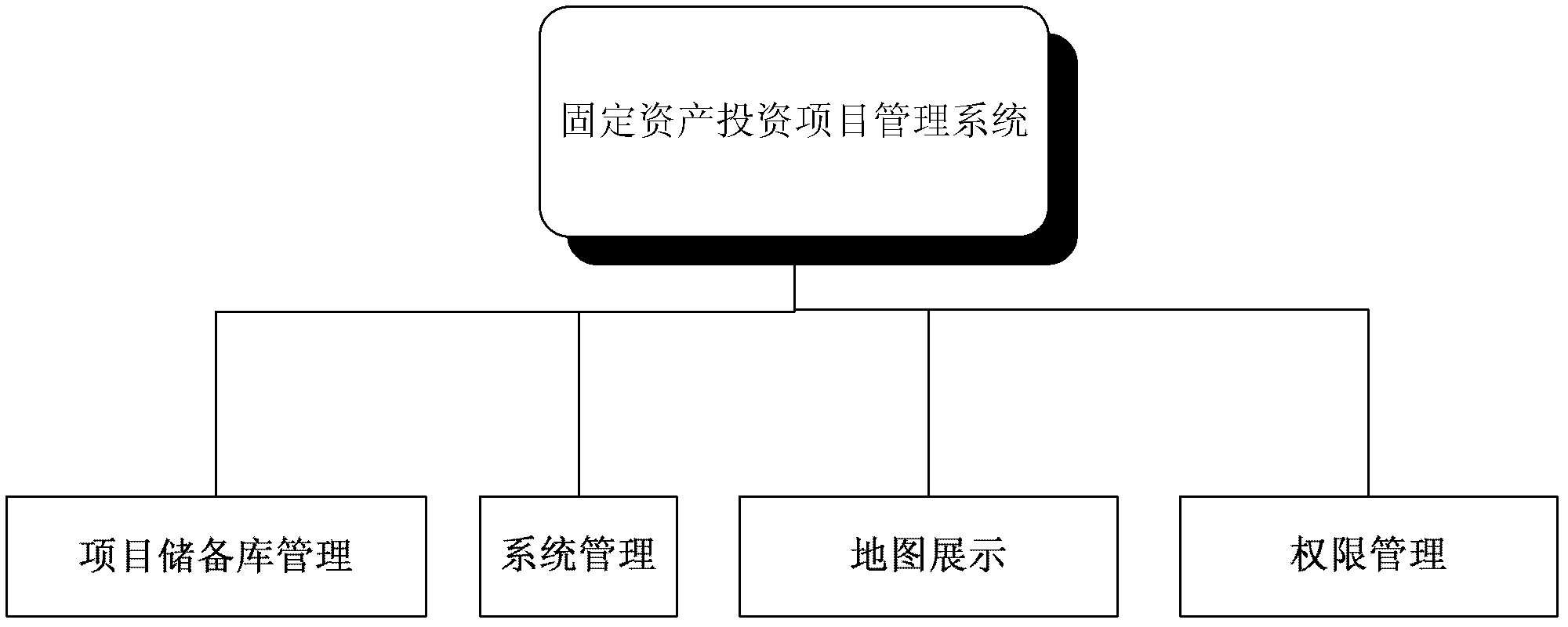
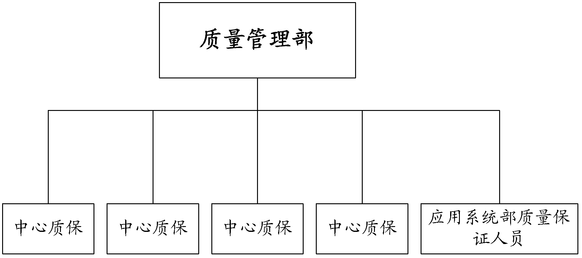
[0020] Such as figure 1 and figure 2 The project management system of fixed assets based on geographic information system is shown. The technologies used in this project are management information system, large-scale image and text database management, geographic information system, GPS satellite positioning and computer network technology 1. Project reserve management project Reserve management is the core of the entire system. The construction of the system will be managed and monitored by years and stages around project information.
[0021] In addition to project information entry and project information management, project repository management also includes project repository query, project information change, image progress management, image progress query, project information and image progress related report generation. Specifically, it must include:
[0022] 1) Project information entry
[0023] The function of project information input is to manage the newly de...
PUM
 Abstract
Description
Claims
Application Information
 - R&D
- Intellectual Property
- Life Sciences
- Materials
- Tech Scout
- Unparalleled Data Quality
- Higher Quality Content
- 60% Fewer Hallucinations
Browse by: Latest US Patents, China's latest patents, Technical Efficacy Thesaurus, Application Domain, Technology Topic, Popular Technical Reports.
© 2025 PatSnap. All rights reserved.Legal|Privacy policy|Modern Slavery Act Transparency Statement|Sitemap|About US| Contact US: help@patsnap.com


