Multi-angle map implementation method of three-dimensional simulation city
A technology of 3D map and 3D simulation, which is applied in the field of 3D simulation city map transformation, can solve the problems that users cannot observe the city, and achieve the effect of improving browsing speed
- Summary
- Abstract
- Description
- Claims
- Application Information
AI Technical Summary
Problems solved by technology
Method used
Image
Examples
Embodiment Construction
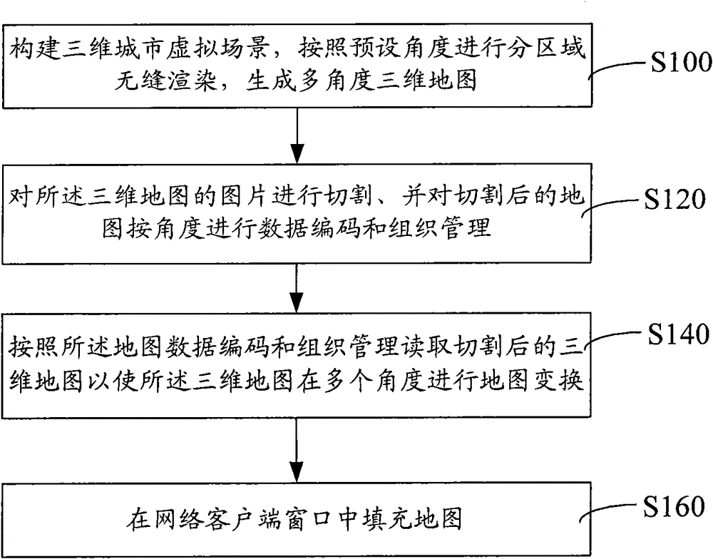
[0015] figure 1 A flowchart of a method for realizing a multi-angle map of a three-dimensional simulated city is shown. The specific process is as follows:
[0016] In step S100, a three-dimensional city virtual scene is constructed, and sub-area seamless rendering is performed according to preset angles to generate a multi-angle three-dimensional map.
[0017] First, model the 3D architectural data through 3D design software, or import 3D model data to construct a 3D urban virtual scene. For the 3D model, either the modeling method or the generated building model can be used for data production. If the remodeling method is adopted, it is necessary to conduct three-dimensional digital measurement of the existing buildings and features in the city to obtain the three-dimensional structure information of the features, and to photograph the features to obtain the texture information, so far combining the three-dimensional structure information of the features and Texture infor...
PUM
 Abstract
Description
Claims
Application Information
 - Generate Ideas
- Intellectual Property
- Life Sciences
- Materials
- Tech Scout
- Unparalleled Data Quality
- Higher Quality Content
- 60% Fewer Hallucinations
Browse by: Latest US Patents, China's latest patents, Technical Efficacy Thesaurus, Application Domain, Technology Topic, Popular Technical Reports.
© 2025 PatSnap. All rights reserved.Legal|Privacy policy|Modern Slavery Act Transparency Statement|Sitemap|About US| Contact US: help@patsnap.com

