Boundary digitizing method of cadastral plot
A technology of cadastral maps and plots, applied in image data processing, maps/plans/charts, image coding, etc., can solve the problems of low degree of automation, heavy workload of human-computer interaction, low efficiency, etc., and achieve strong integrity , reduce the workload of human-computer interaction, and achieve high efficiency
- Summary
- Abstract
- Description
- Claims
- Application Information
AI Technical Summary
Problems solved by technology
Method used
Image
Examples
Embodiment Construction
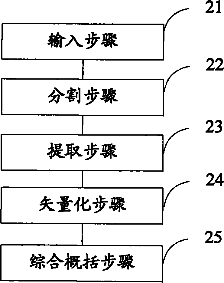
[0054]In order to make the above objects, features and advantages of the present invention more comprehensible, the present invention will be further described in detail below in conjunction with the accompanying drawings and specific embodiments.
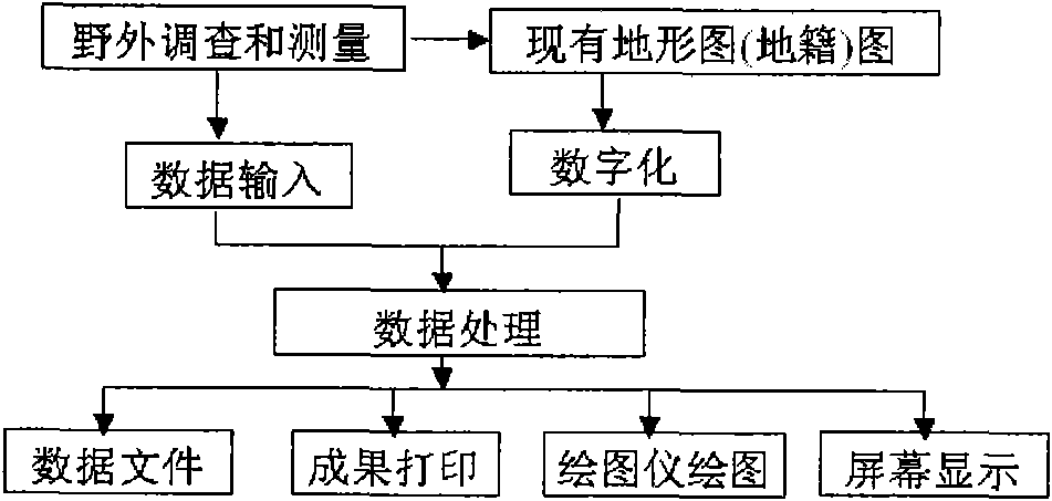
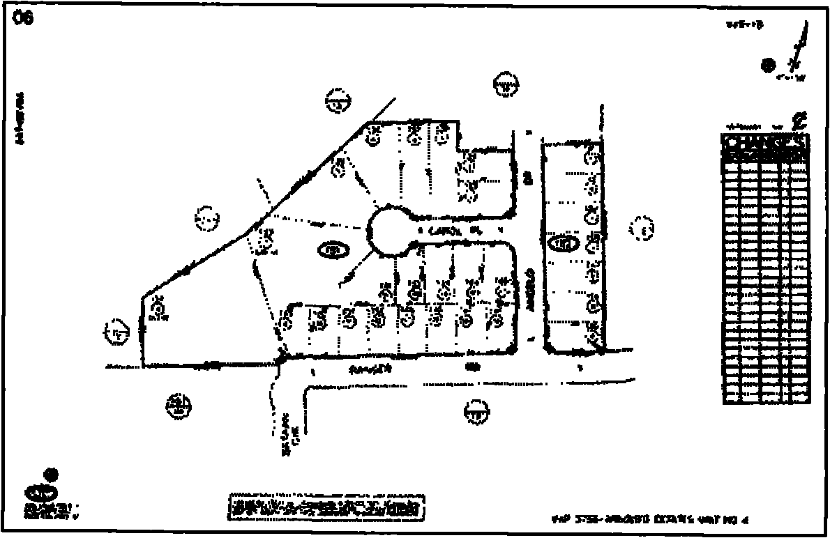
[0055] When digitizing the screen after scanning input, although the scanning vectorization software can be used to perform vector digitization on the scanned raster image, relatively speaking, some work intensity can be reduced and the operation is easier. However, in actual operation, because the cadastral map contains other kinds of graphic content besides the property boundaries or parcel boundaries, such as change records, identifiers and annotations, etc., the scanning vectorization software cannot selectively identify and Therefore, it is not feasible to directly vectorize scanned raster images with scanning vectorization software.
[0056] Object-based image analysis is a new theory that has emerged in recent years. This an...
PUM
 Abstract
Description
Claims
Application Information
 - R&D
- Intellectual Property
- Life Sciences
- Materials
- Tech Scout
- Unparalleled Data Quality
- Higher Quality Content
- 60% Fewer Hallucinations
Browse by: Latest US Patents, China's latest patents, Technical Efficacy Thesaurus, Application Domain, Technology Topic, Popular Technical Reports.
© 2025 PatSnap. All rights reserved.Legal|Privacy policy|Modern Slavery Act Transparency Statement|Sitemap|About US| Contact US: help@patsnap.com


