Method for determining moon-impacting point position by image data

A technology of image data and point position, which is used in measurement devices, photogrammetry/video surveying, instruments, etc., and can solve problems such as the inability to determine the coordinates of the impact point.

Inactive Publication Date: 2010-03-03
NAT ASTRONOMICAL OBSERVATORIES CHINESE ACAD OF SCI
View PDF0 Cites 4 Cited by
  • Summary
  • Abstract
  • Description
  • Claims
  • Application Information

AI Technical Summary

Problems solved by technology

At the same time, the method of using measurement and control data to determine the time of collision with the moon and the coordinates of the point of collision with the moon can obtain higher accuracy, but when the measurement and control data cannot be obtained, the coordinates of the point of collision with the moon cannot be determined

Method used


Image

  • Method for determining moon-impacting point position by image data
  • Method for determining moon-impacting point position by image data
  • Method for determining moon-impacting point position by image data

Examples


Embodiment Construction

[0049] In order to further explain the technical means and effects of the present invention to achieve the intended purpose of the invention, below in conjunction with the accompanying drawings and preferred embodiments, the specific implementation of the method for determining the position of the moon collision point using image data according to the present invention, The method, steps, features and effects thereof are described in detail below.

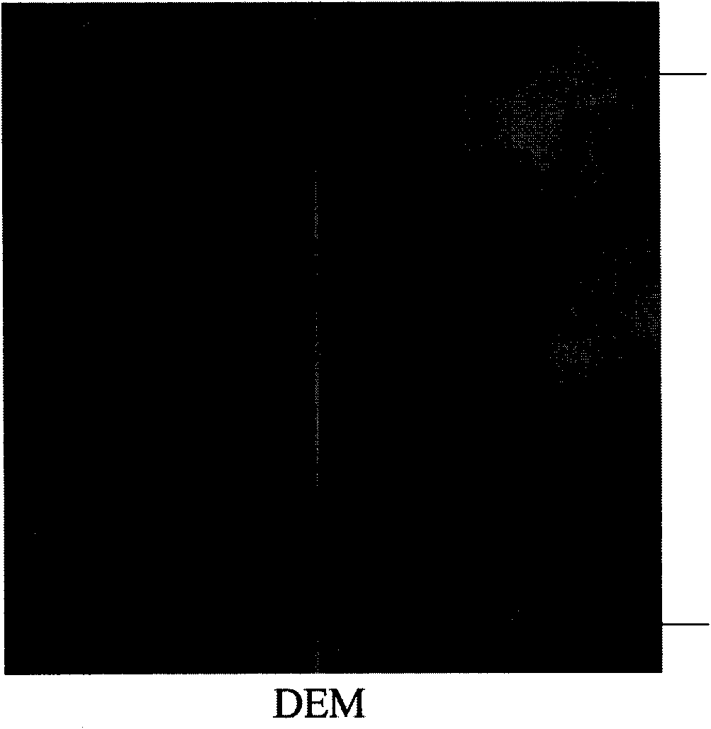
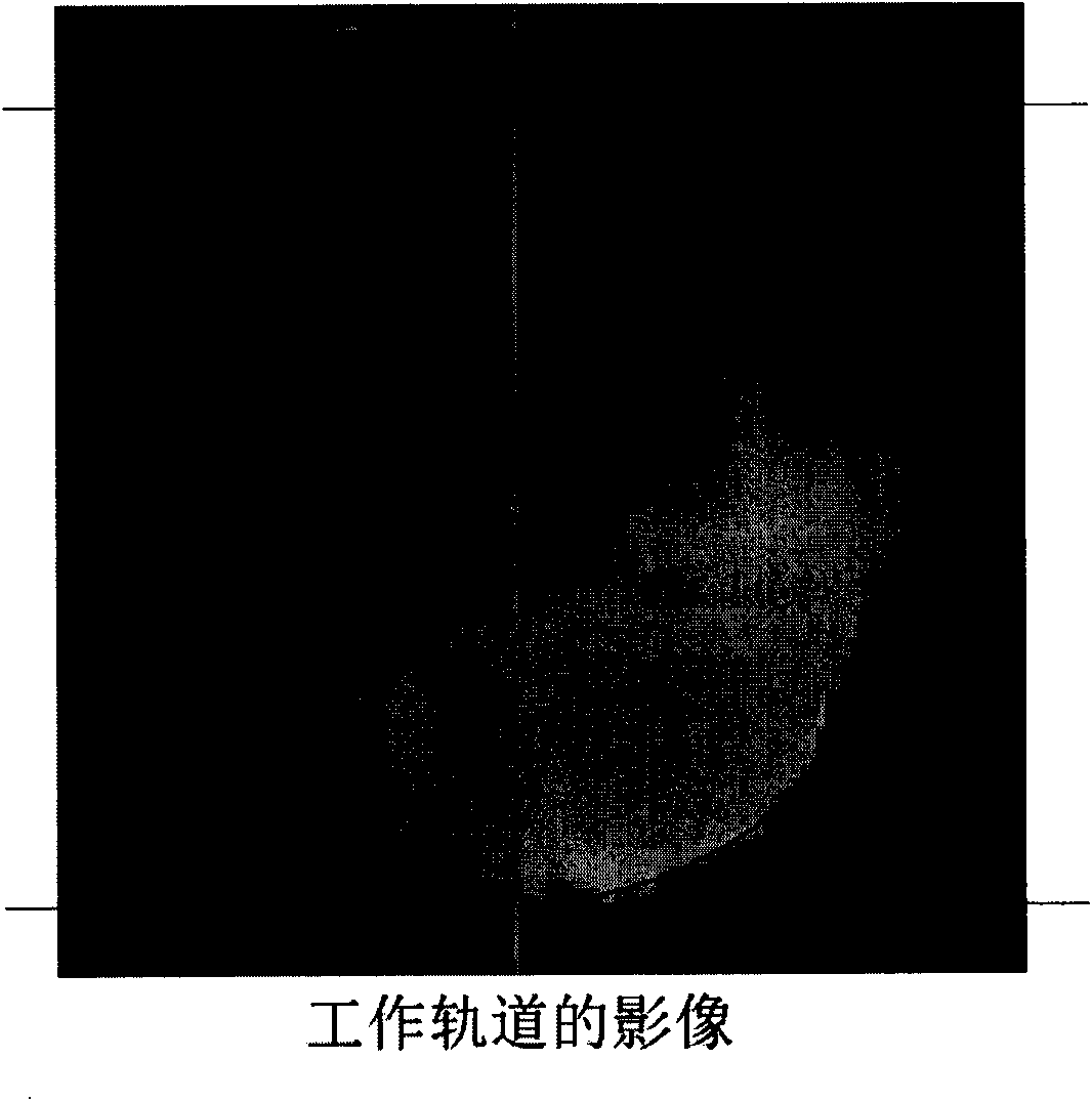
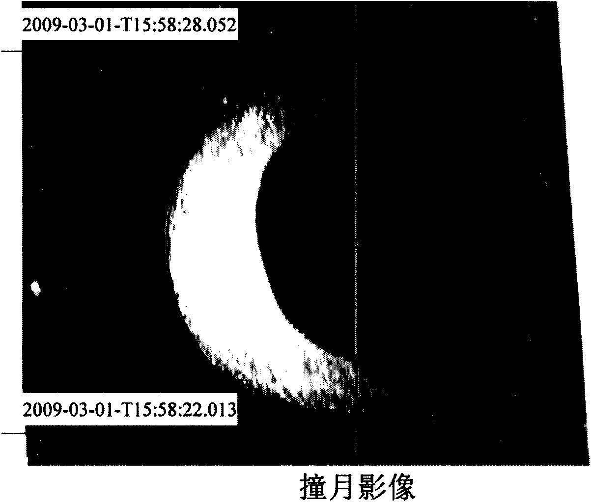
[0050] It should be noted that the data input of the method for determining the position of the moon-impacting point by using image data involved in the present invention can be "positioned image map", that is, after radiation correction, photometric correction, row completion processing, geometric The image processed by image processing methods such as correction and resampling, in a specific implementation, uses the CE1_BMYK_CCD-N_XXX_5514_A.tif moon collision image. Since the above processing method is an image processing method...


PUM


Abstract

The invention relates to a method for determining moon-impacting point position by image data, which comprises the following steps of identifying at least one first kind impact crater and at least onesecond kind impact crater from a moon-impacting image map and extracting the information of the impact craters; calculating the tangential velocity of a sub-satellite point on the lunar true surfaceby using the first kind impact crater, transforming the velocity on the lunar reference spherical surface, and dividing the velocity into velocities along the meridian and parallel of the reference spherical surface; calculating the correction of the longitude and latitude of a starting point; obtaining the time-related functions of the longitude and latitude of the actual impact point by using the longitude and latitude of the starting point and the correction of the longitude and latitude of the starting point; and determining the moon-impacting point position according to the time-related functions combined with the actual moon-impacting time. The method can calculate and obtain the moon-impacting position and time according to the images which are obtained by a camera working at the moon-impacting moment, and provide a new method for determining the moon-impacting point even though the measure and control data can not be obtained.

Description

technical field [0001] The invention relates to an image processing method and its application field, in particular to a method for determining the position of a moon-colliding point by using image data. Background technique [0002] So far, many lunar exploration missions including Lunar Prospector, SMART-1, Chandrayaan-1, Chang’E-1 and KAGUYA have implemented lunar impact experiments. During the lunar collision process, the determination of the location of the lunar collision point is a very meaningful link. At present, the main data sources are the extrapolated and predicted orbit data and the measured orbit data provided by the ground measurement and control system, as well as the ground-based optical observation data. At the moment when the satellite hit the moon, the communication between the ground and the satellite was interrupted due to hardware damage, so as to judge the time when the satellite hit the moon, and then judge the location of the landing point based on...

Claims


Application Information

Patent Timeline
IPC IPC(8): G01C11/00
Inventor 李春来刘建军任鑫王文睿牟伶俐邹小端
Owner NAT ASTRONOMICAL OBSERVATORIES CHINESE ACAD OF SCI
Why Eureka
Try Eureka