Method for improving resolution of traffic space-time diagram
A high-resolution, spatiotemporal map technology, applied in the field of transportation, can solve problems such as the inability to display traffic dynamics, and achieve the effect of strong practicability, simple calculation process, and improved resolution
- Summary
- Abstract
- Description
- Claims
- Application Information
AI Technical Summary
Problems solved by technology
Method used
Image
Examples
Embodiment Construction
[0026] The preferred embodiments of the present invention will be described in detail below with reference to the accompanying drawings.
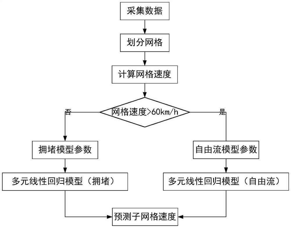
[0027] see figure 1 , which is a flowchart of a method for improving the resolution of a traffic spatiotemporal map provided by an embodiment of the present application.
[0028] like figure 1 As shown, a method for improving the resolution of a traffic spatiotemporal map provided by an embodiment of the present application includes the following steps:
[0029] Step 1: Collect data and draw the original traffic space-time map.
[0030] Step 2: The original traffic space-time map is divided into grids, the collected data is projected according to the grid, and the average speed of each grid is calculated.
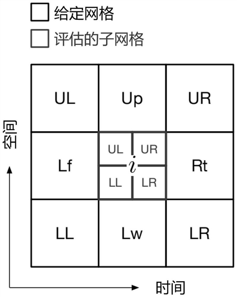
[0031] Step 3: Further refine the grid division and build a fine-grained grid velocity prediction model.
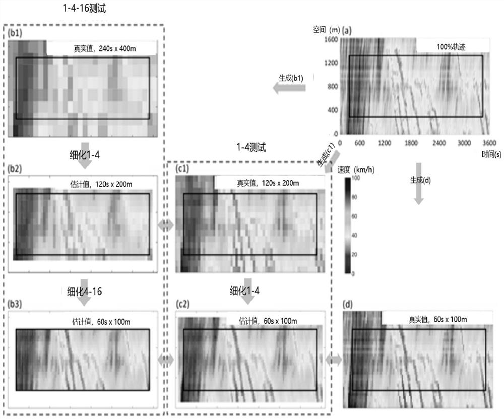
[0032] Step 4: Use a fine-grained grid speed prediction model for prediction to generate a high-resolution traffic spatiotempo...
PUM
 Abstract
Description
Claims
Application Information
 - R&D Engineer
- R&D Manager
- IP Professional
- Industry Leading Data Capabilities
- Powerful AI technology
- Patent DNA Extraction
Browse by: Latest US Patents, China's latest patents, Technical Efficacy Thesaurus, Application Domain, Technology Topic, Popular Technical Reports.
© 2024 PatSnap. All rights reserved.Legal|Privacy policy|Modern Slavery Act Transparency Statement|Sitemap|About US| Contact US: help@patsnap.com


