Method used for verifying wind speed and wind direction detection data accuracy of boundary layer wind profiler radar
A wind profile radar, wind speed and wind direction technology, applied in the field of meteorological detection, can solve the problems of long time span, poor accuracy of wind speed data, high verification cost, etc., and achieve the effect of high upper limit of measurement height, accurate verification, and high fixed-point performance
- Summary
- Abstract
- Description
- Claims
- Application Information
AI Technical Summary
Problems solved by technology
Method used
Image
Examples
Embodiment 1
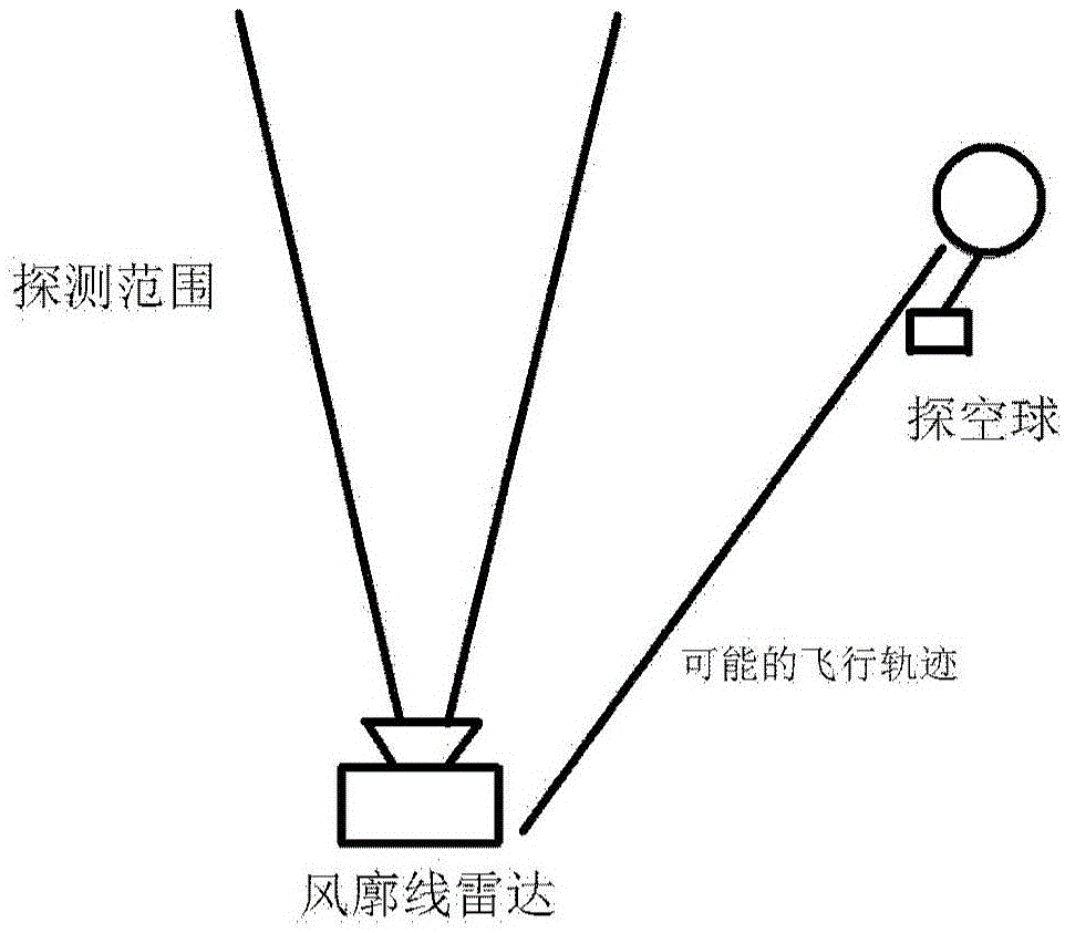
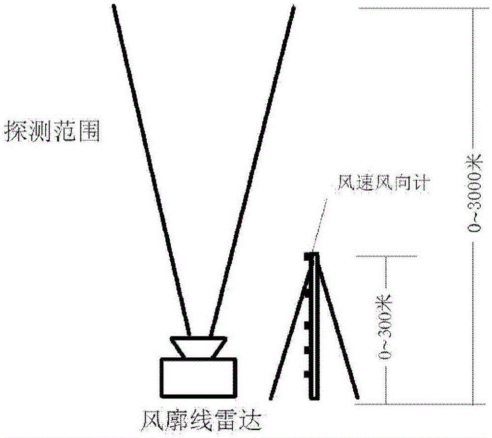
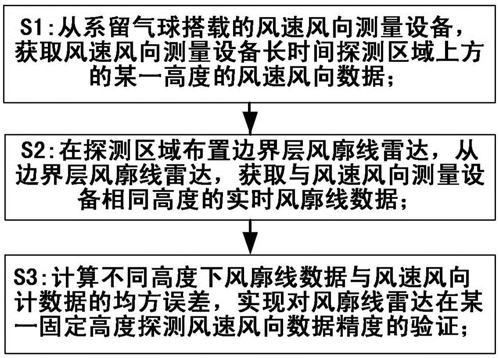
[0044]The present invention uses the wind speed and direction measurement equipment carried by the tethered balloon to obtain wind speed and direction data; by retracting and releasing the mooring cable of the tethered balloon, the tethered balloon is raised and lowered, and the height of the wind speed and direction measurement equipment carried is adjusted to obtain different wind speed and direction data. Wind speed and direction data at altitude. From the wind speed and direction data obtained by the wind profile radar, extract the wind speed and direction data at different heights for a period of time, compare them with the data obtained by the wind speed and direction measurement equipment carried by the tethered balloon, calculate the mean square error at different heights, and obtain the wind profile Radar wind speed and direction data detection accuracy. Compared with the wind profile radar's own index, it can be obtained whether the wind profile radar accuracy index ...
Embodiment 2
[0059] see Figure 7 As shown in the case of strong winds, the verification equipment for the accuracy of the boundary layer wind profile radar wind speed detection data used in the method of the present invention is based on the verification of the accuracy of the boundary layer wind profile radar wind speed and direction detection data of the small tethered balloon system. In detail, the specific implementation steps of the method include:
[0060] Step S2a: Install the device
[0061] Install the wind profile radar, fix the mooring facilities of the mooring balloon, mount the barometer, anemometer and other instruments and equipment on the mooring balloon and anchor the equipment on the ground;
[0062] Step S2b: According to the barometer data, reverse the height of the tethered balloon from the ground, adjust the length of the tether to make the first height of the tethered balloon from the ground to be about 100 meters, and read the wind speed and direction data within ...
PUM
 Abstract
Description
Claims
Application Information
 - Generate Ideas
- Intellectual Property
- Life Sciences
- Materials
- Tech Scout
- Unparalleled Data Quality
- Higher Quality Content
- 60% Fewer Hallucinations
Browse by: Latest US Patents, China's latest patents, Technical Efficacy Thesaurus, Application Domain, Technology Topic, Popular Technical Reports.
© 2025 PatSnap. All rights reserved.Legal|Privacy policy|Modern Slavery Act Transparency Statement|Sitemap|About US| Contact US: help@patsnap.com


