A UV underwater navigation and positioning method based on tight combination of sins/lbl
A technology of navigation positioning and integrated navigation, which is applied to the tracking and positioning of underwater autonomous vehicles AUV, and the field of AUV underwater navigation and positioning based on SINS/LBL tight combination
- Summary
- Abstract
- Description
- Claims
- Application Information
AI Technical Summary
Problems solved by technology
Method used
Image
Examples
Embodiment Construction
[0088] Below in conjunction with accompanying drawing, further illustrate the present invention.
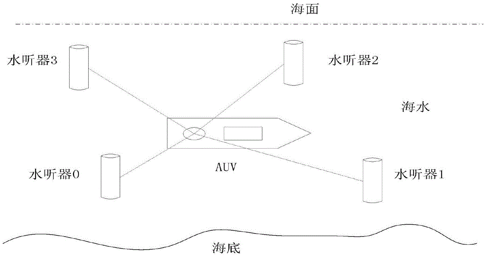
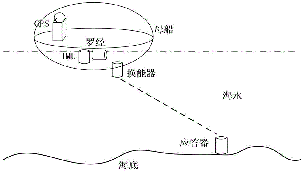
[0089] Such as figure 1 As shown, the present invention is composed of three parts: the strapdown inertial navigation system SINS (1) installed on the AUV, the long baseline hydroacoustic positioning system LBL (2) placed on the seabed, and a data processing unit. The data processing unit includes a SINS pairwise primitive and AUV slant distance difference calculation module (3), a SINS / LBL compact combination module (4) and a correction module (5). The AUV underwater autonomous navigation is completed by using the method of tight combination of SINS and LBL. The specific implementation steps are as follows:
[0090] (1) The output data of the inertial measurement unit (IMU) is obtained by strapdown calculation to obtain the position information of the AUV, and the earth geodetic coordinate P SINS (L S ,λ S , h S ) said, and P SINS (L S ,λ S , h S ) into the earth rectangu...
PUM
 Abstract
Description
Claims
Application Information
 - R&D
- Intellectual Property
- Life Sciences
- Materials
- Tech Scout
- Unparalleled Data Quality
- Higher Quality Content
- 60% Fewer Hallucinations
Browse by: Latest US Patents, China's latest patents, Technical Efficacy Thesaurus, Application Domain, Technology Topic, Popular Technical Reports.
© 2025 PatSnap. All rights reserved.Legal|Privacy policy|Modern Slavery Act Transparency Statement|Sitemap|About US| Contact US: help@patsnap.com


