Remote sensing image cloud removing method based on sparse representation
A remote sensing image and sparse representation technology, applied in the field of remote sensing image cloud removal, can solve the problem of not making good use of different dictionaries to represent the characteristics, and achieve the effect of speeding up and improving quality.
- Summary
- Abstract
- Description
- Claims
- Application Information
AI Technical Summary
Problems solved by technology
Method used
Image
Examples
Embodiment Construction
[0020] The present invention will be further described in detail with reference to the accompanying drawings and embodiments.
[0021] The remote sensing image cloud removal method based on sparse representation of the present invention adjusts the parameters of the total variation adjustment function of the image, that is, when using the block coordinate relaxation algorithm to decompose the image, the algorithm is adjusted by changing the parameters of the total variation adjustment function The convergence speed improves the efficiency of the algorithm.
[0022] The present invention is a remote sensing image cloud removal method based on sparse representation, the process is as follows figure 1 shown, including the following steps:
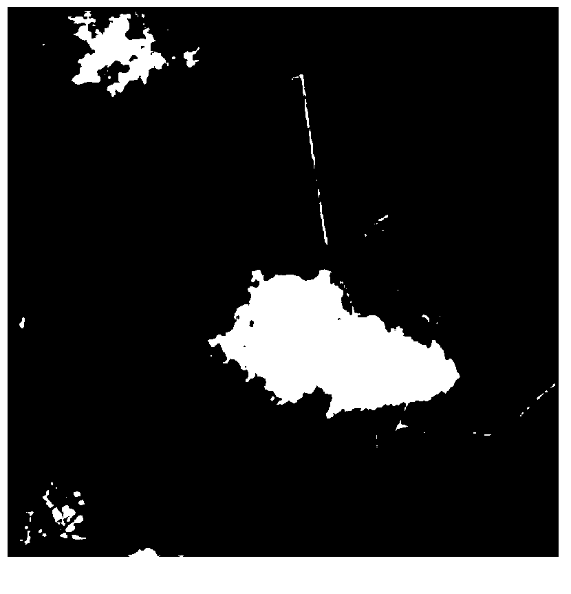
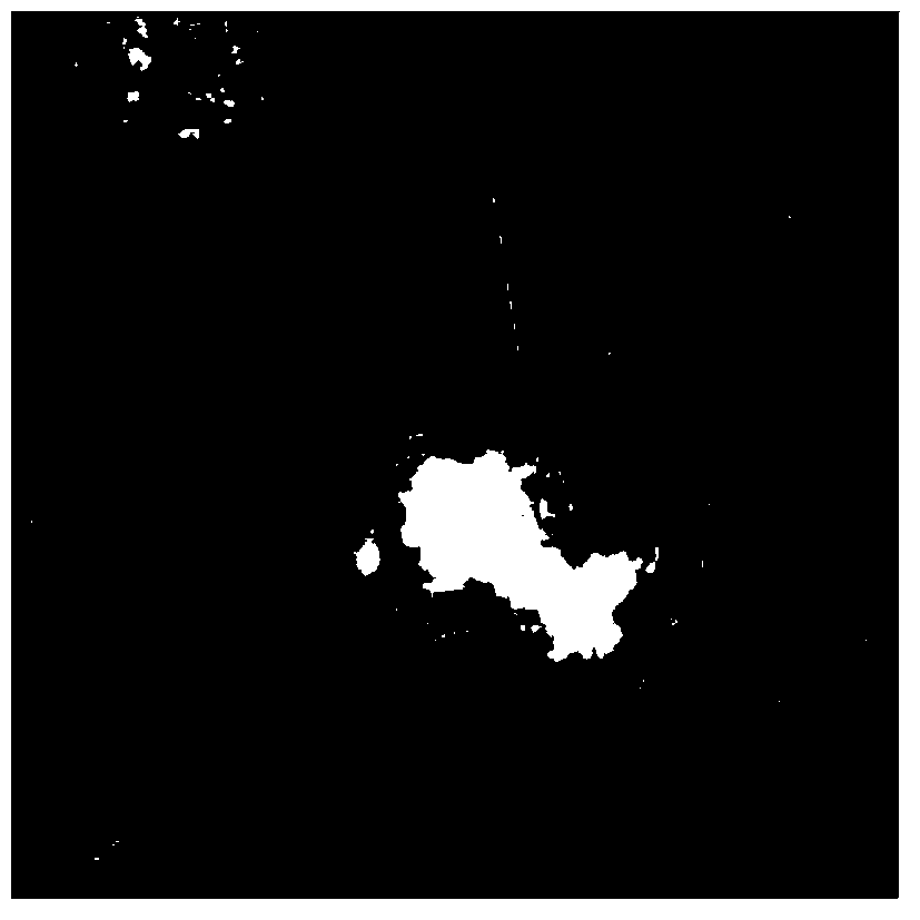
[0023] Step 1: Extract the cloud mask matrix to obtain a new image.
[0024] The thick cloud is extracted as a mask matrix M with the same size as the original image, and the elements of the mask matrix M are set to "0" where there is thick ...
PUM
 Abstract
Description
Claims
Application Information
 - R&D
- Intellectual Property
- Life Sciences
- Materials
- Tech Scout
- Unparalleled Data Quality
- Higher Quality Content
- 60% Fewer Hallucinations
Browse by: Latest US Patents, China's latest patents, Technical Efficacy Thesaurus, Application Domain, Technology Topic, Popular Technical Reports.
© 2025 PatSnap. All rights reserved.Legal|Privacy policy|Modern Slavery Act Transparency Statement|Sitemap|About US| Contact US: help@patsnap.com


