Extracting method of thematic information of towns by principal component of fuzzy clustering of remote sensing images
A technology of thematic information and fuzzy clustering, applied in the field of remote sensing, can solve problems such as low extraction efficiency, complex representation of ground objects, and poor effects
- Summary
- Abstract
- Description
- Claims
- Application Information
AI Technical Summary
Problems solved by technology
Method used
Image
Examples
Embodiment 1
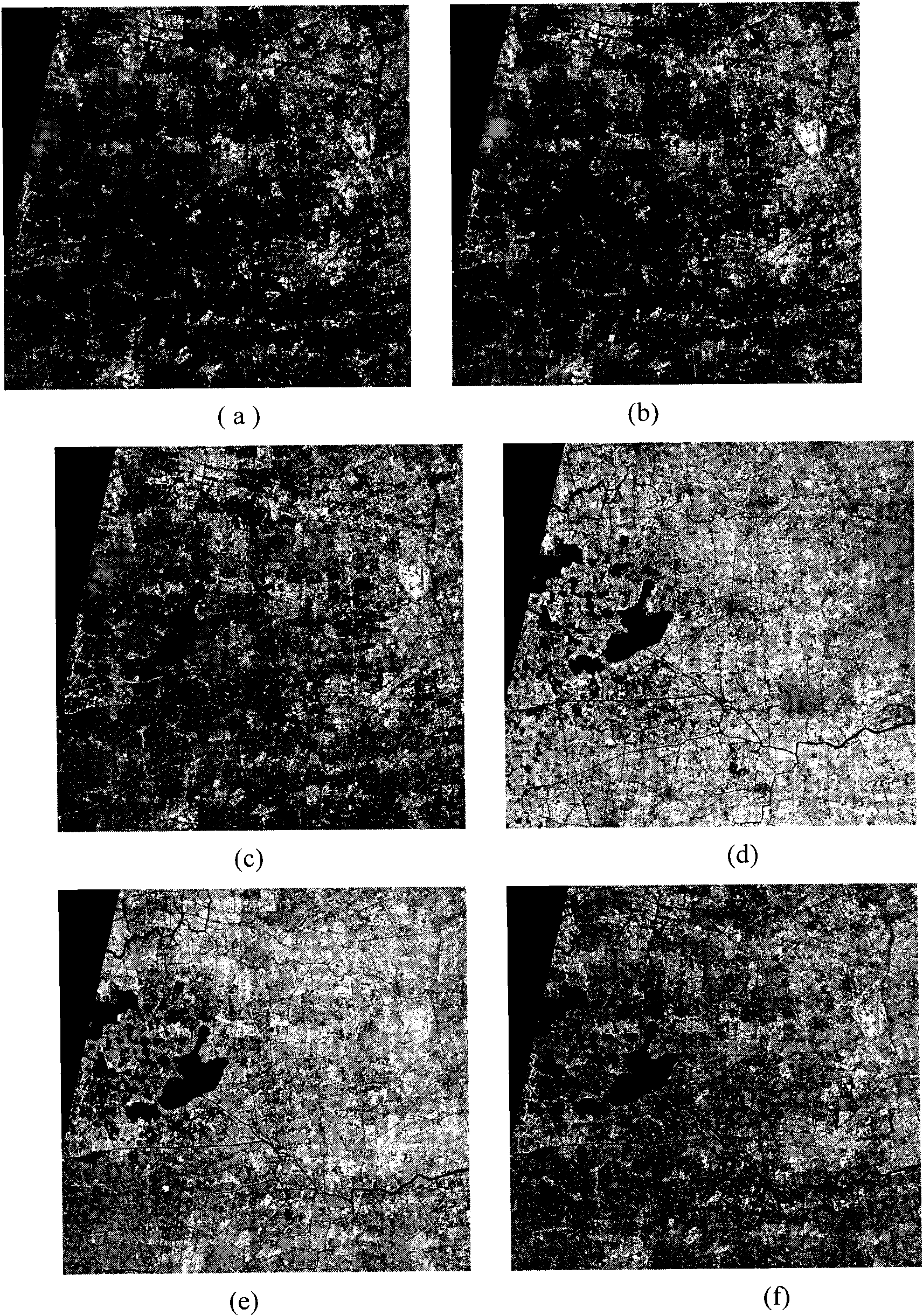
[0025] Embodiment 1: The specific implementation method will be described below in conjunction with an implementation example, that is, to carry out thematic information identification on a multi-band remote sensing image in a village and town area, and obtain thematic information vector data (.shp file) that meets the requirements of general GIS software. Its implementation process is as follows:
[0026] 1. RgPCA feature dimensionality reduction of remote sensing multi-band images,
[0027] Specifically, it includes vector encoding and principal component transformation. They are:
[0028] 1) Remote sensing spectral vector coding is characterized in that the discretization coding is specifically: according to remote sensing image data, a certain TM (thematic imager) data is taken here—the image size is 2516×2395 pixels, including 7 Band, which already has geocoded information - the coordinates of the upper left corner of the image are (285950, 3475350), and the pixel resol...
PUM
 Abstract
Description
Claims
Application Information
 - R&D
- Intellectual Property
- Life Sciences
- Materials
- Tech Scout
- Unparalleled Data Quality
- Higher Quality Content
- 60% Fewer Hallucinations
Browse by: Latest US Patents, China's latest patents, Technical Efficacy Thesaurus, Application Domain, Technology Topic, Popular Technical Reports.
© 2025 PatSnap. All rights reserved.Legal|Privacy policy|Modern Slavery Act Transparency Statement|Sitemap|About US| Contact US: help@patsnap.com


