
Method for arranging and serving resource satellite imaging task

A task arrangement and satellite technology, applied in surveying, mapping and navigation, observation of aerospace vehicles, and measurement devices, etc., can solve problems such as manual calculations, waste of satellite resources, and impact on satellite safety

Active Publication Date: 2009-05-27
CHINA CENT FOR RESOURCES SATELLITE DATA & APPL
View PDF0 Cites 14 Cited by
  • Summary
  • Abstract
  • Description
  • Claims
  • Application Information

AI Technical Summary

Problems solved by technology

[0011] When using STK to arrange satellite missions, the steps are too cumbersome, with more manual calculations, and the reliability is greatly reduced. Once the mission arrangement fails, it will cause waste of satellite resources and even affect the safety of satellites.

Method used


Image

  • Method for arranging and serving resource satellite imaging task
  • Method for arranging and serving resource satellite imaging task
  • Method for arranging and serving resource satellite imaging task

Examples


specific Embodiment approach

[0138] 1. Task arrangement

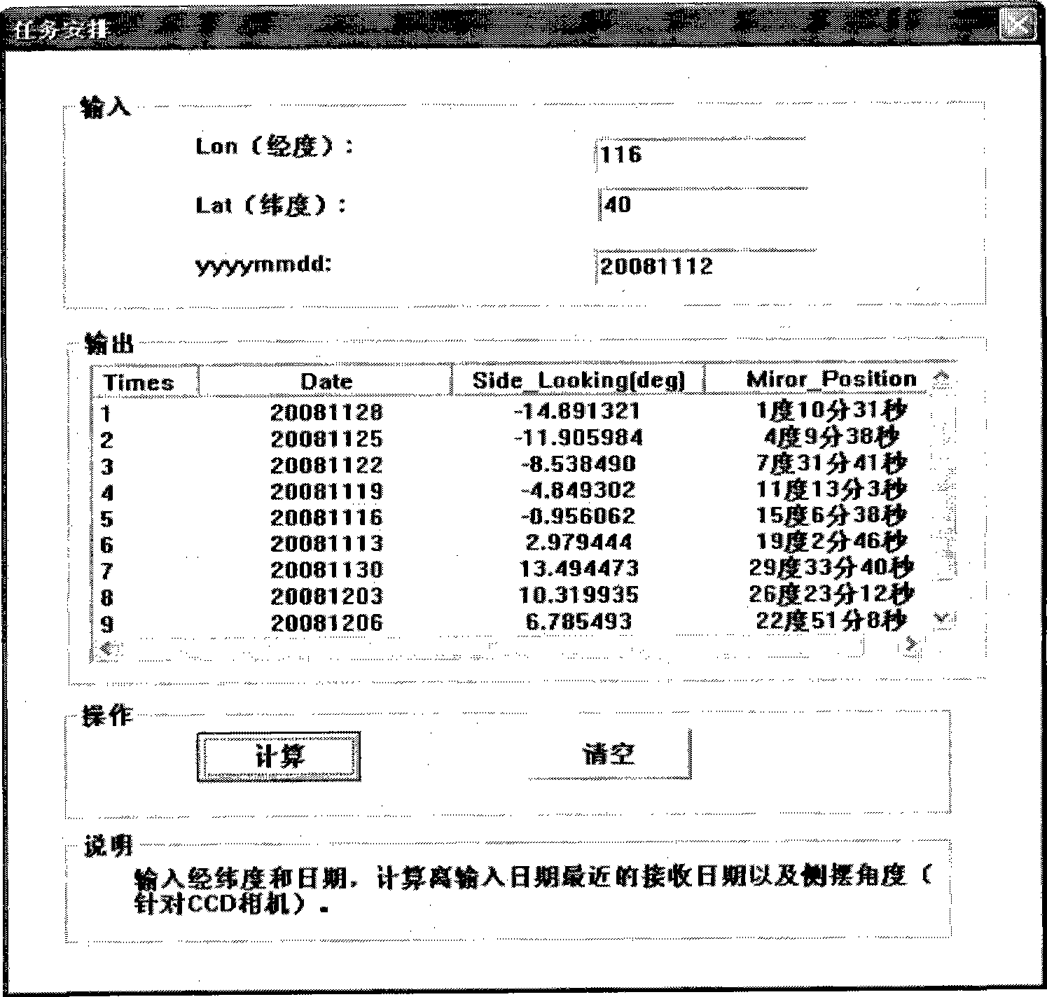
[0139] In the normal imaging mode, each payload is sub-satellite point imaging. When the user puts forward an observation application or other important tasks, the imaging can be performed sideways to improve the access to a certain area. When the CCD camera swings the mirror at the maximum angle, the corresponding ground side swing distance is nearly 500 kilometers, and the satellite track moves eastward by one PATH in three days (see figure 2 ), and the interval between adjacent tracks is 107.4 km at the equator, the satellite can achieve multiple imaging of a certain area through side swing during the return period. Due to the different implementation methods of CCD and HR camera side swing, it is necessary to consider the side swing angle when imaging with different loads. There are two main types of side swing:

[0140] (1) CCD camera swing mirror side swing imaging

[0141] Because when the CCD camera swings the mirror sideways to image, ...


PUM


Abstract

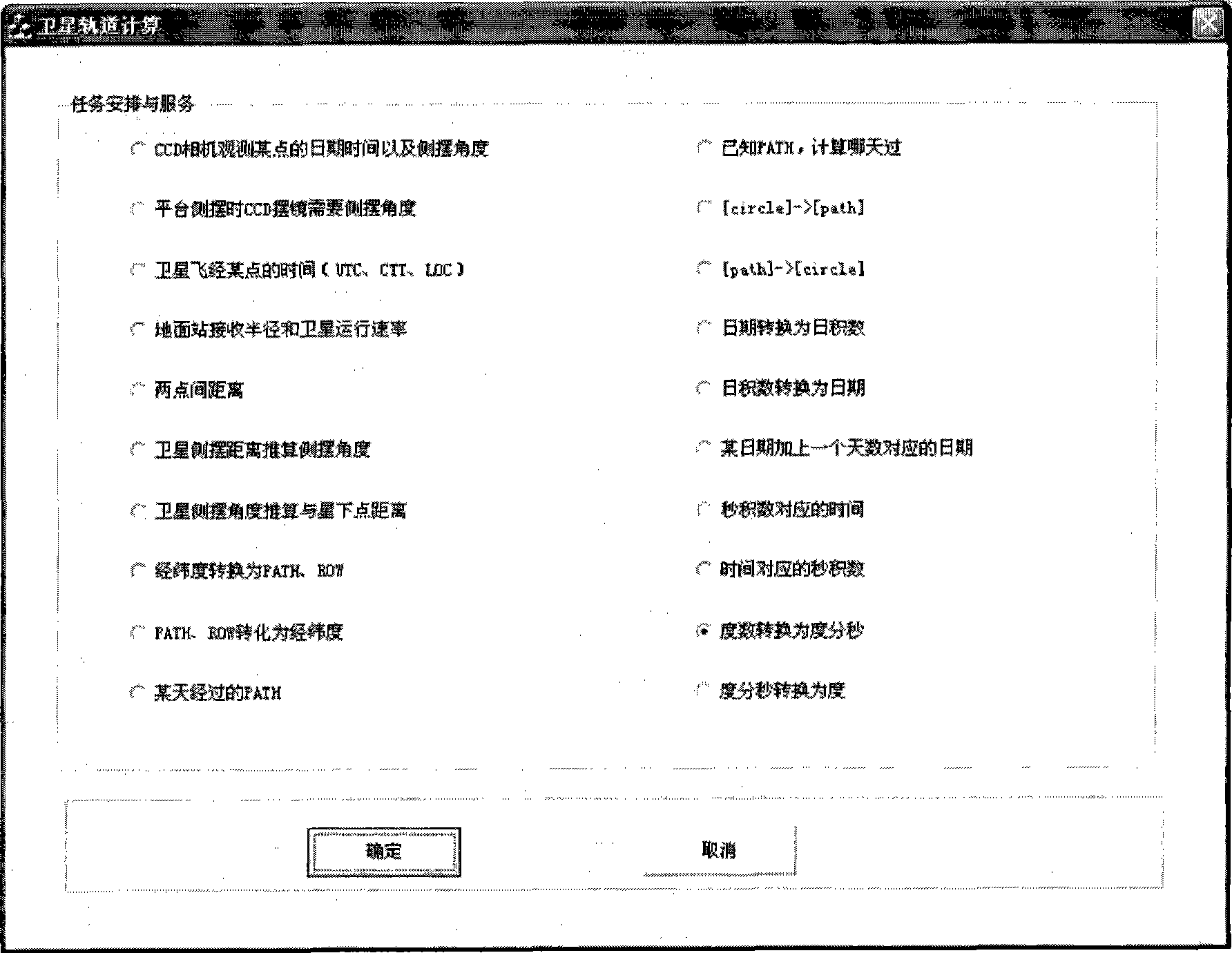
The invention relates to a resource satellite imaging task arrangement and service method, which has functions of arranging task; calculating Greenwich mean time, Peking time and local time of a position when the satellite travels through the position; calculating earth station coverage area and running rate of the satellite; calculating distance between arbitrary two points on surface of the earth; calculating corresponding relation of side-sway distance and side-sway angle; calculating corresponding relation of latitude and longitude as well as PATH and ROW; calculating corresponding relation of date and PATH number; calculating corresponding relation of loop number and the PATH number; converting the data and data product; calculating date corresponding to a data adding a number of days; converting second product and data; and converting degree, minute, second and number of degrees. According to the sun synchronization and regression characteristic of the satellite, the invention calculates conditions of other track including passing data and image time by using a track (such as a track passing through Beijing) as reference, arranges imaging with high efficiency and satisfies various demands of users.

Description

technical field [0001] The invention belongs to the field of satellite task planning and dispatching, in particular to a method for resource satellite imaging task arrangement and service. Background technique [0002] Satellite task arrangement and service are the key links in the operational operation of satellites. Satellite imaging tasks are mainly arranged according to user applications, which is the basis for ensuring the overall coordination and efficient operation of the satellite system. [0003] At present, developed countries in foreign satellite applications have done in-depth research on the problem of satellite mission planning and scheduling, and there are many methods for satellite mission scheduling. For example, the European Space Agency (ESA) proposed a scheduling model based on the weighted constraint satisfaction problem to optimize the daily observation tasks of the SPOT-5 observation satellite. The Moscow State University in Russia has developed the M...

Claims


Application Information

Patent Timeline
IPC IPC(8): G01C11/00B64G3/00
Inventor 郭建宁曾湧王静巧何伟
Owner CHINA CENT FOR RESOURCES SATELLITE DATA & APPL
Learn More