
Landform transformation method for sonar remote sensing digital image of underwater digit land model

A technology of digital image and underwater sonar, which is applied in the direction of graphic image conversion, image enhancement, image data processing, etc.

Inactive Publication Date: 2007-09-12
SHANGHAI UNIV
View PDF0 Cites 12 Cited by
  • Summary
  • Abstract
  • Description
  • Claims
  • Application Information

AI Technical Summary

Problems solved by technology

The existing sonar remote sensing digital image processing and application technology and orthophoto image processing technology have not fundamentally solved this important problem

Method used


Image

  • Landform transformation method for sonar remote sensing digital image of underwater digit land model
  • Landform transformation method for sonar remote sensing digital image of underwater digit land model
  • Landform transformation method for sonar remote sensing digital image of underwater digit land model

Examples


Embodiment Construction

[0081] A preferred embodiment of the present invention is described in detail as follows with reference to the accompanying drawings:

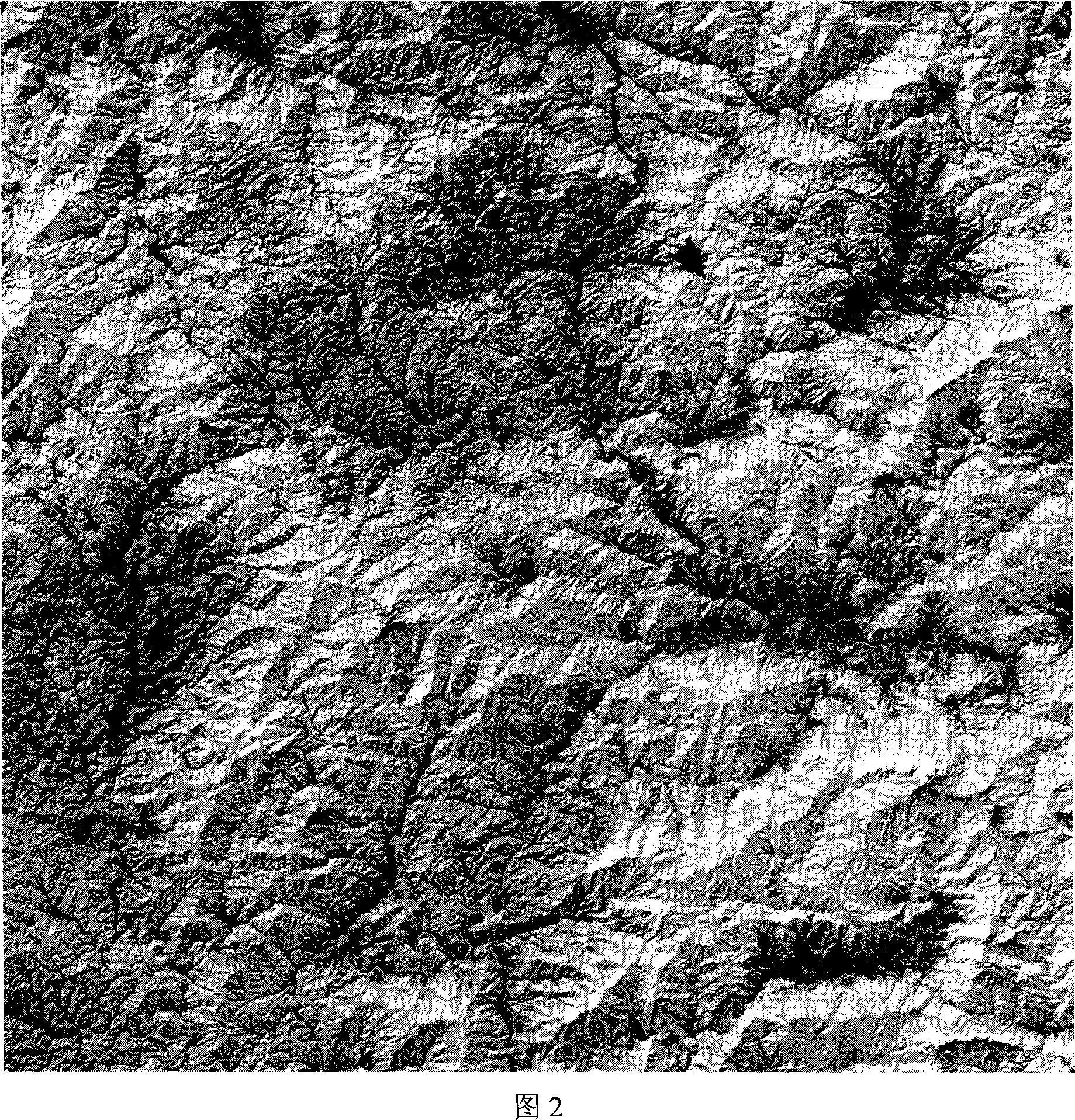
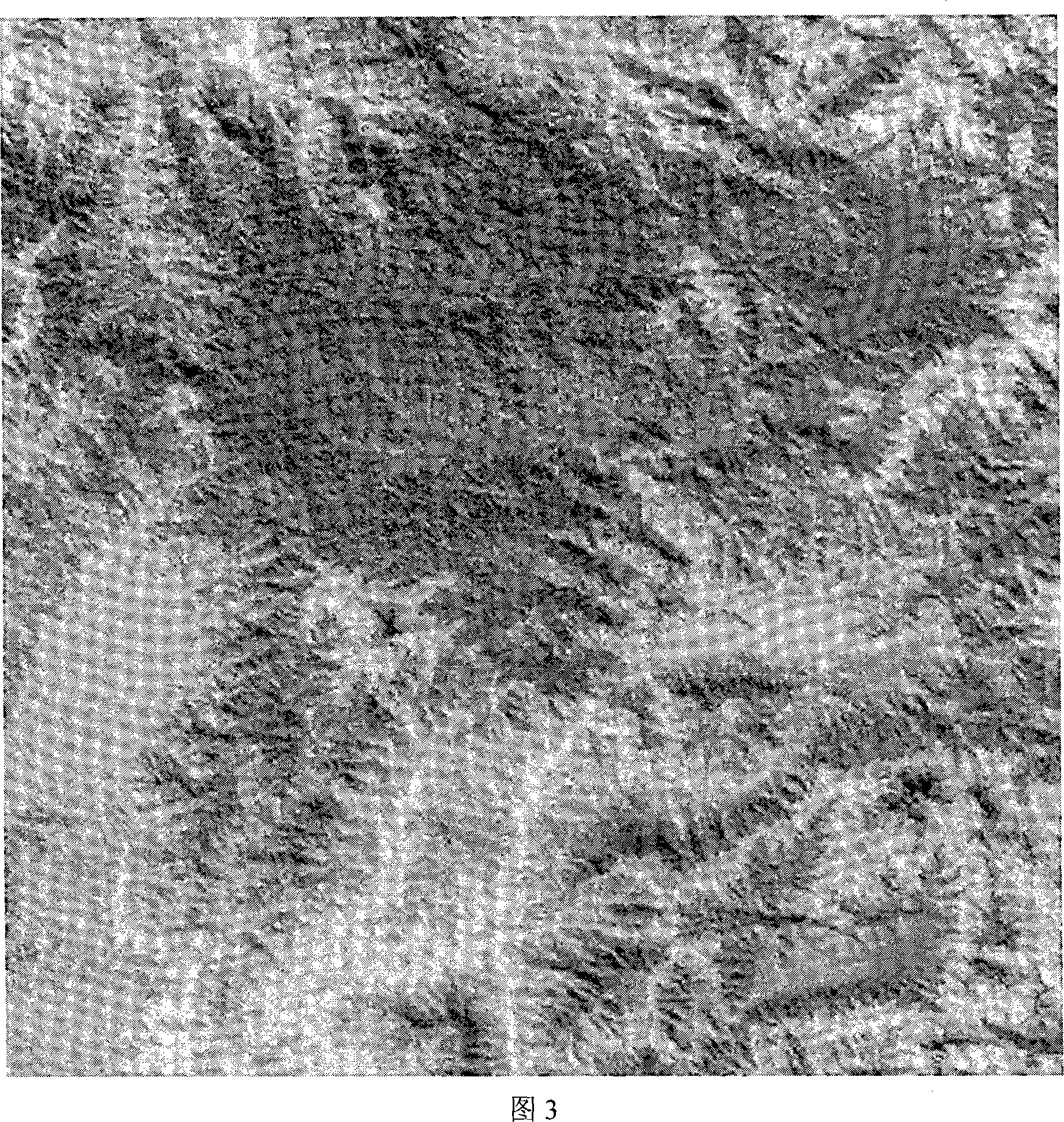
[0082] This example is the sonar remote sensing image of Qingdao Shazikou area on 2004.10.22 to illustrate the underwater terrain transformation method of the sonar remote sensing digital image of the underwater digital ground model.

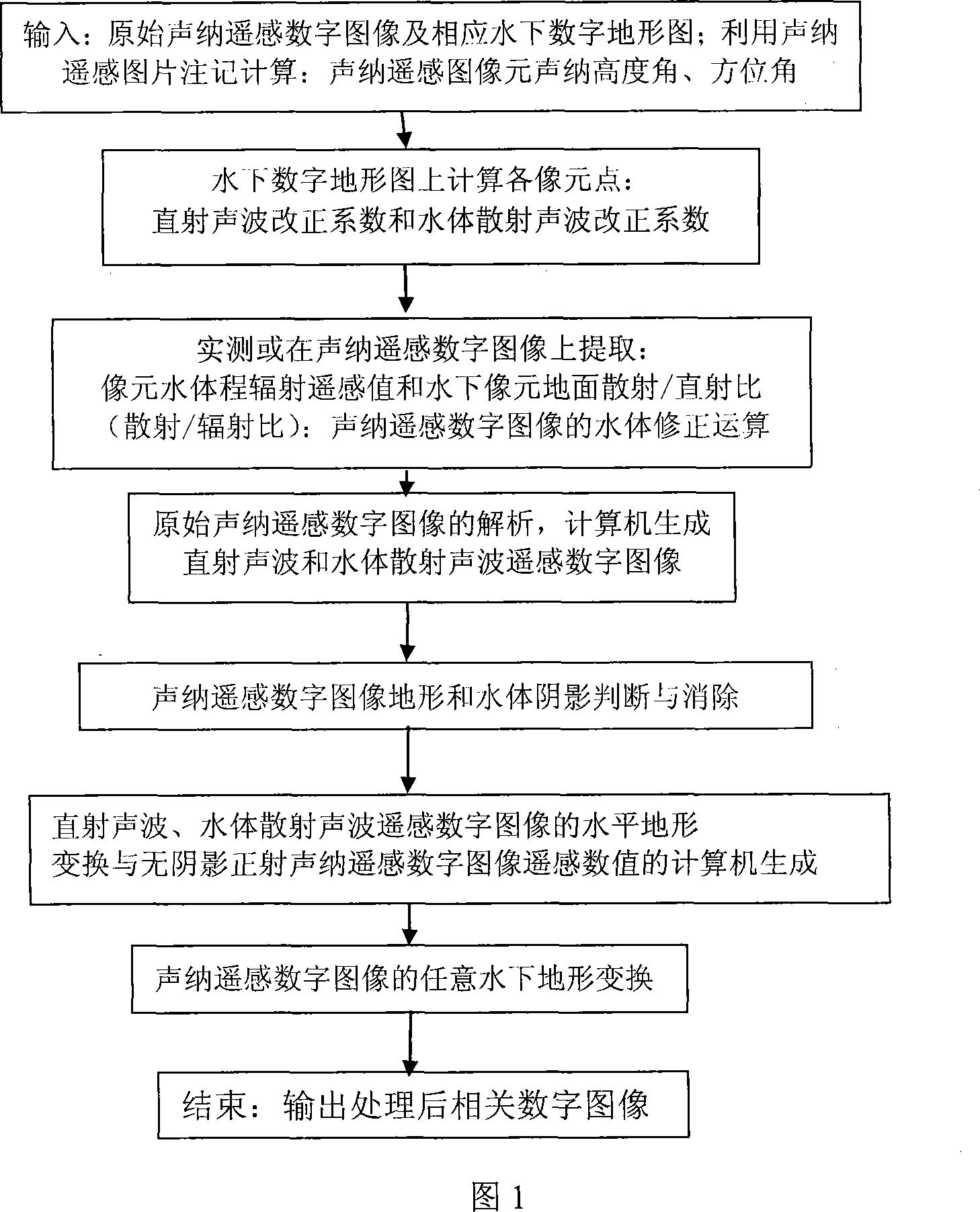
[0083] Referring to Figure 1, the underwater terrain transformation method of the sonar remote sensing digital image of the underwater digital ground model is:

[0084] First, establish a mathematical model of the quantitative relationship between sonar remote sensing information and underwater terrain, direct acoustic waves and water scattered acoustic waves; then analyze the sonar remote sensing digital images: generate direct acoustic wave remote sensing images and water body scattered acoustic waves remote sensing images, and conduct water analysis respectively. Under the terrain transformation, eliminate th...


PUM


Abstract

This invention relates to a terrain transformation method of submarine digital terrain pattern sonar remote sensing digital picture. This method is: First, establishes the quota relations number principle model between the sonar remote sensing information and the underwater pography, the perpendicular incidence sound wave and the water body scattered wave; Continues analysis the sound sonar remote sensing numeral picture: The producted sonar perpendicular incidence sound wave remote sensing picture and the water body scattering sound wave remote sensing picture, separately carries on the underwater pography transformation, eliminates the radiation difference in the submarine accidented relief and this kind of differences influence on the sonar remote sensing digital picture. Then judges and eliminates the submarine mountain body and the water body background shadow in the sonar remote sensing digital picture; finally completes the underwater pography transformation of sonar remote sensing digital picture under this foundation. This invention theory, method have originality, developing, widely applies to the quantitative investigation and application of the sonar remote sensing technology.

Description

technical field [0001] The invention relates to a sonar remote sensing digital image processing method, in particular to a terrain transformation method of the sonar remote sensing digital image of an underwater digital ground model. Background technique [0002] The influence of underwater terrain on sonar remote sensing digital images and the elimination of underwater mountain shadows and water background shadows have always been difficult problems in the processing and application of sonar remote sensing digital images. The existing sonar remote sensing digital image processing and application technology and orthophoto image processing technology have not fundamentally solved this important problem. After a novelty search, there are no relevant documents and patent reports at home and abroad. The invention solves this problem theoretically and practically by using the terrain transformation method of the sonar remote sensing digital image of the underwater digital ground ...

Claims


Application Information

Patent Timeline
IPC IPC(8): G06T3/00G06T5/00G01S15/00
Inventor 师彪李先华
Owner SHANGHAI UNIV
Learn More