
Displaying content associated with electronic mapping systems

a mapping system and content technology, applied in the field of mapping on electronic devices, can solve the problems of physical limitation of zoom data available, limited zoom in,

Inactive Publication Date: 2013-07-16
JAKOBSON GABRIEL +1
View PDF19 Cites 1101 Cited by
  • Summary
  • Abstract
  • Description
  • Claims
  • Application Information

AI Technical Summary

Benefits of technology

Enables the display of detailed POI content at high zoom levels, enhancing user experience by providing relevant information even when traditional map data is not available, while maintaining a seamless user interface.

Problems solved by technology

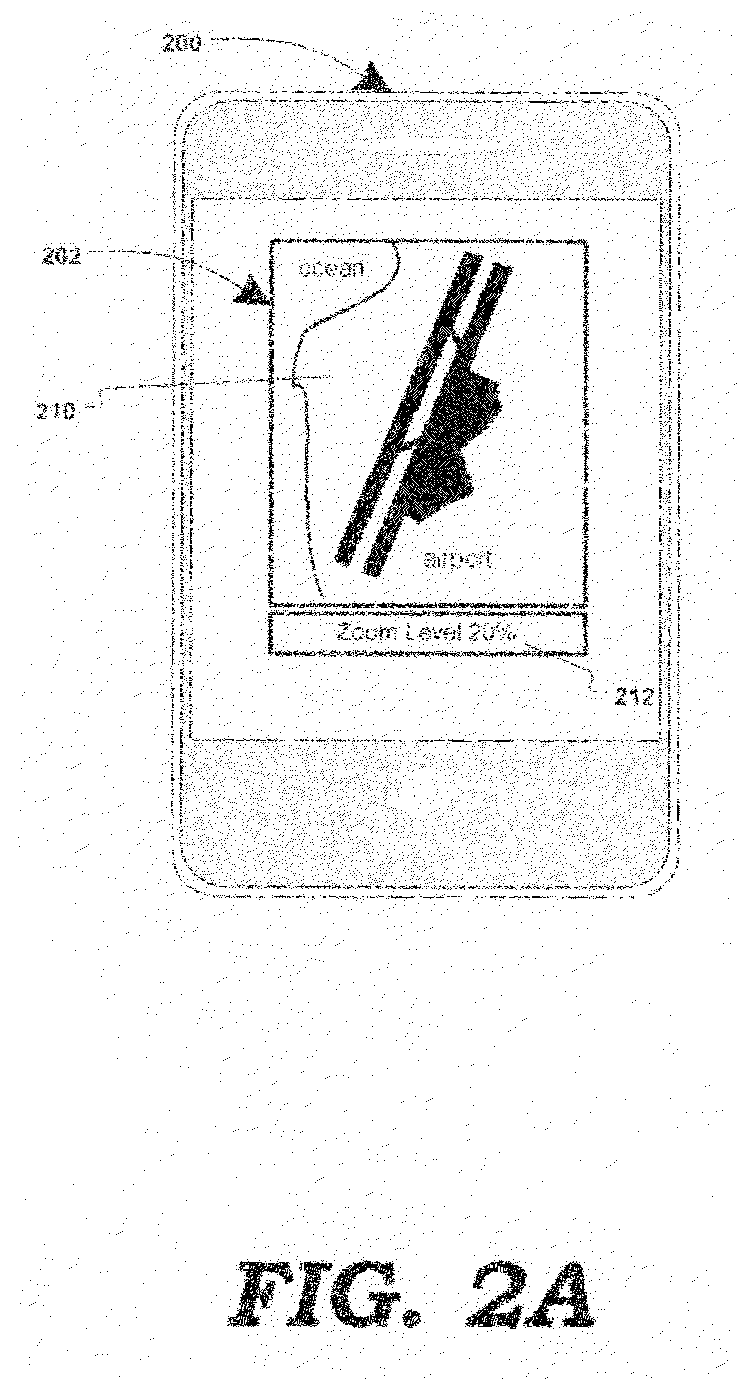
Zooming-in may be limited by settings defining minimum / maximum zoom levels, and / or by the physical limitation of zoom data available.

Method used


Image

  • Displaying content associated with electronic mapping systems
  • Displaying content associated with electronic mapping systems
  • Displaying content associated with electronic mapping systems

Examples


Embodiment Construction

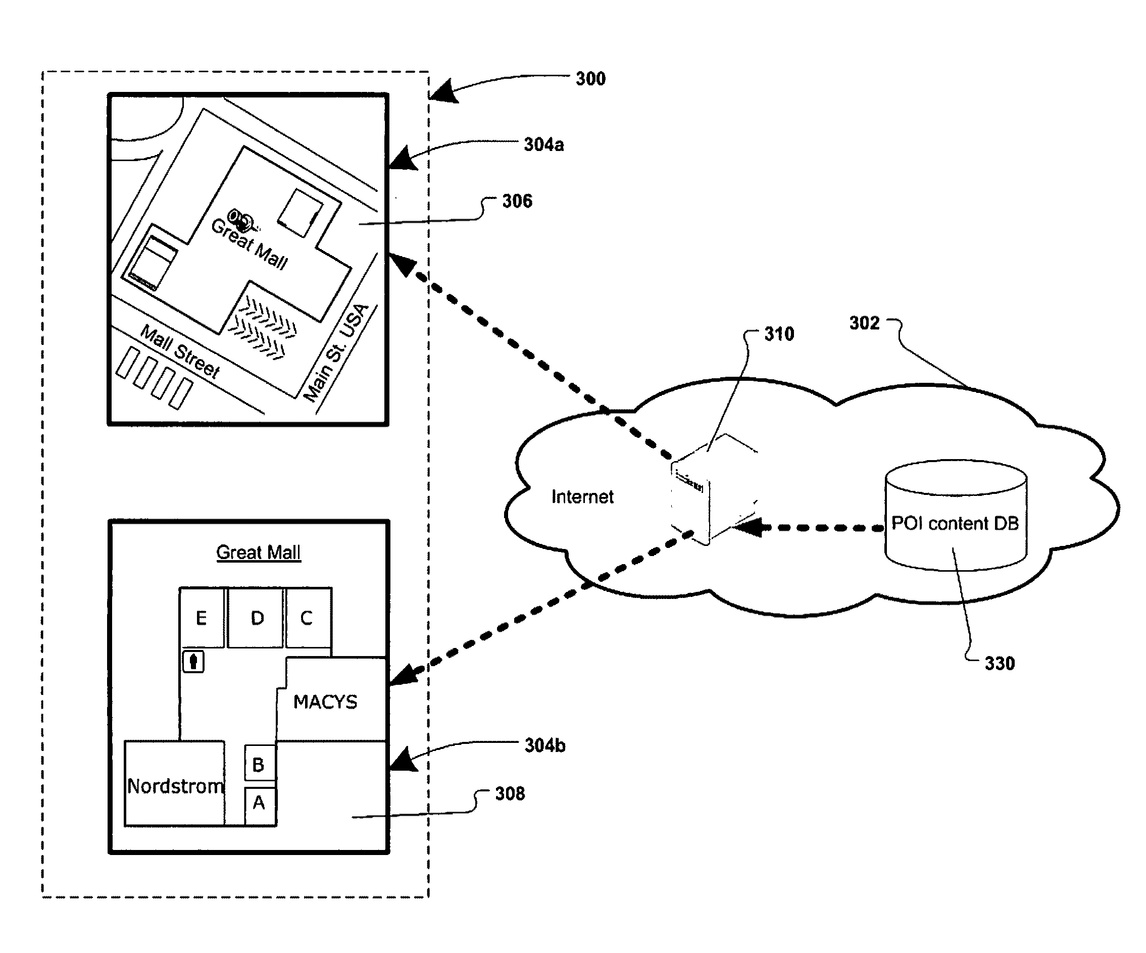
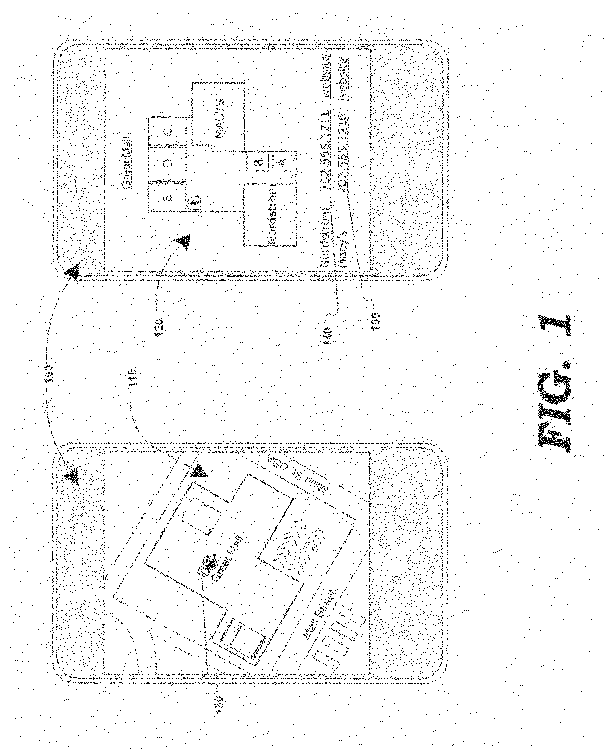
[0021]FIG. 1 is a generalized block diagram illustrating the transformation of a digital map into POI-related content, in response to a zoom-in function, according to one embodiment of the present invention. Electronic device 100 (e.g. a computer, cellular / smart phone, personal digital assistant, etc.) may display a digital map 110. Digital map 110 may be generated by a mapping service (e.g. Google Maps®, Yahoo! Maps®, Windows Live Search Maps®, etc.) and may be transmitted to electronic device 100 electronically (e.g. via the interne, wirelessly, using cellular communication, etc.)

[0022]Map 110 may be generated and displayed by computer code (e.g. using technologies such as AJAX, javascript, http requests, DHTML, XML, VML, Flash®, etc.) in a map-display application (e.g. a browser application.) Map 110 may be composed of graphical images, known as “map tiles”, that may be received by the client device 100 from the mapping service, and assembled and displayed as a map 110. Images (e...


PUM


Abstract

Various methods, systems and apparatus for displaying alternate content in a digital mapping system, are disclosed. One such method may include detecting a change in a zoom level of an electronic map displaying geographic content (e.g. tile-based digital map, satellite image, etc.) on a computing device (e,g. desktop / laptop, smart phone, etc, running Windows®, Linux®, Mac OS®, iOS®. Android®, etc.); determining a predetermined (eg. maximum) zoom level has been reached; retrieving alternate content, and displaying the alternate content in addition to, or in place of, some-or-all of the geographic content. The method may further include detecting a zoom-out command while the alternate content is being displayed, and in response, restoring the display of the geographic content (e.g. at the maximum zoom level and / or last state of the geographic content display prior to displaying the alternate content.) Alternate content may be associated with any portion of geographic content displayed (e.g. the portion of the geographic content visible at the maximum zoom level) and may be selected via various algorithms and be manipulate-able via map display application controls.

Description

RELATED U.S. APPLICATION DATA[0001]Continuation-in-Part of application Ser. No. 12 / 012,353, filed on Feb. 1, 2008.FIELD OF INVENTION[0002]The present invention generally relates to mapping on electronic devices. More particularly, the present invention relates to associating content pertaining to a point-of-interest, or to a visible portion of an electronic map, and displaying the content in response to a change in the electronic map's zoom level.BACKGROUND OF THE INVENTION[0003]Popular mapping services include Google Maps®, Yahoo! Maps®, Windows Live Search Maps®, MapQuest® and others. Mapping services are typically available to a user through a web browser, running on a computer or a portable electronic device, such a cellular phone, personal digital assistant, etc. Mapping services allow a user to view a map in various formats (e.g. 2D, 3D, aerial, road, etc.). Functionality provided includes “zoom in” and “zoom out”, which allows the user to see a smaller region at a greater lev...

Claims


Application Information

Patent Timeline
Patent Type & Authority Patents(United States)
IPC IPC(8): G06K9/32
CPCG01C21/3682G06F17/30864G09B29/006G06F16/951
Inventor JAKOBSON, GABRIELRUEBEN, STEVEN
Owner JAKOBSON GABRIEL
Learn More