
Navigation System and Methods Regarding Disputed Territories

a navigation system and territory technology, applied in the field of collecting, storing, and/or using geographic data, can solve problems such as complexity

Active Publication Date: 2011-03-17
HERE GLOBAL BV
View PDF16 Cites 7 Cited by
  • Summary
  • Abstract
  • Description
  • Claims
  • Application Information

AI Technical Summary

Problems solved by technology

Complexities may arise if one uses the navigation device in both countries or in a country or region that disputes the presentation of the geographic data.

Method used


Image

  • Navigation System and Methods Regarding Disputed Territories
  • Navigation System and Methods Regarding Disputed Territories
  • Navigation System and Methods Regarding Disputed Territories

Examples


Embodiment Construction

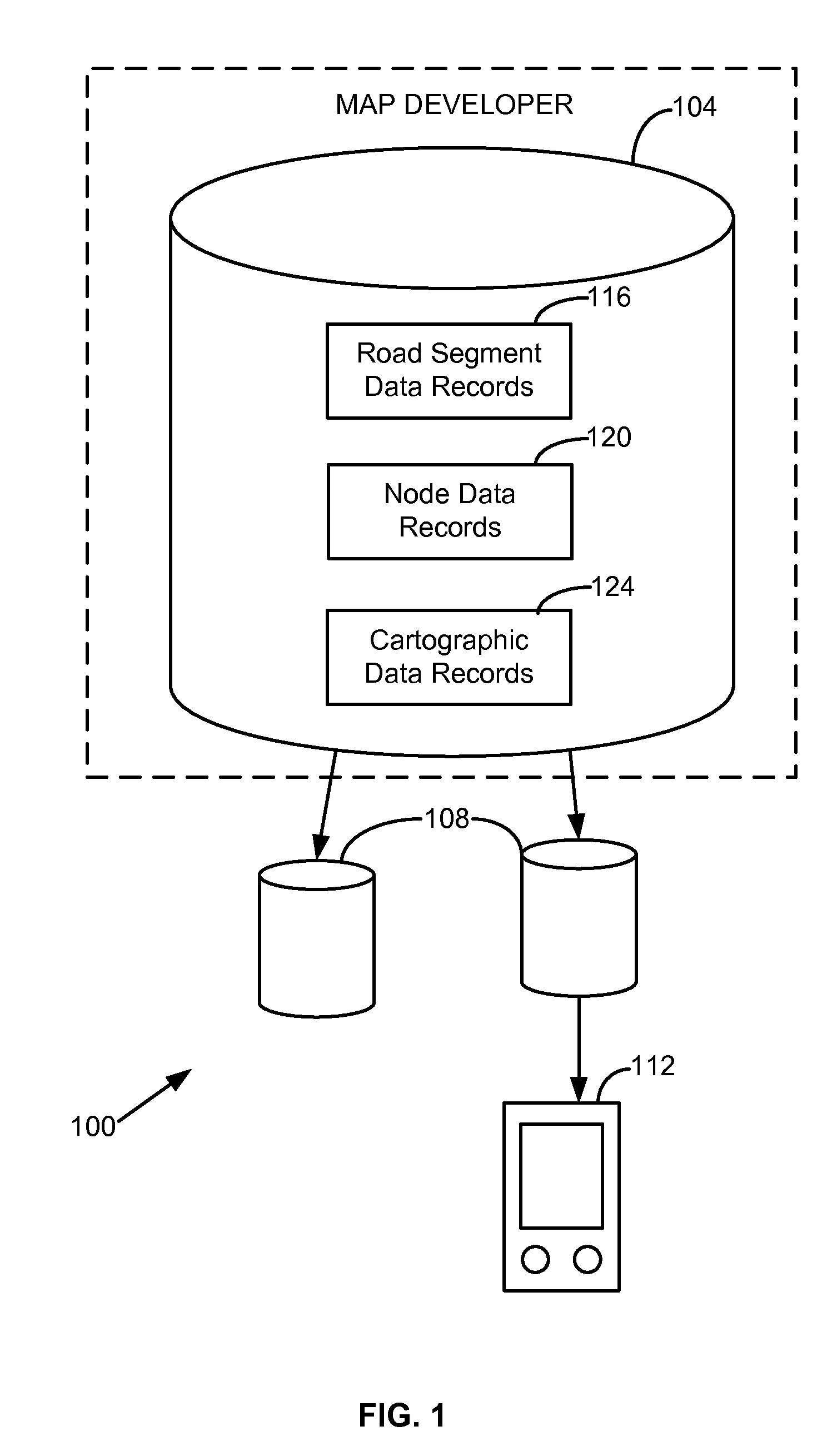
[0017]FIG. 1 shows one embodiment of a geographic data and / or navigation system 100 corresponding to disputed territories. The system 100 includes, but is not limited to, a geographic or navigation database 104, compiled navigation or geographic databases 108, and an end user device 112. Additional, fewer, or different components may be provided. For example, a processor, a server, a base station, transceiver and / or broadcasting components, a router, a switch or intelligent switch, computers or workstations, administrative components, a gateway device, a backbone, ports, network connections and / or components, and network interfaces may be provided.

[0018]The map or navigation database 104 may be a master geographic or navigation database that contains data that represent geographic features in a coverage area. The coverage area may correspond to an entire country, such as the United States. Alternatively, the coverage area may correspond to several countries, such as the United State...


PUM


Abstract

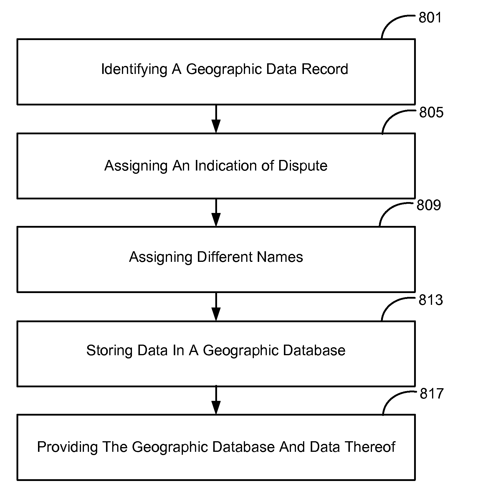
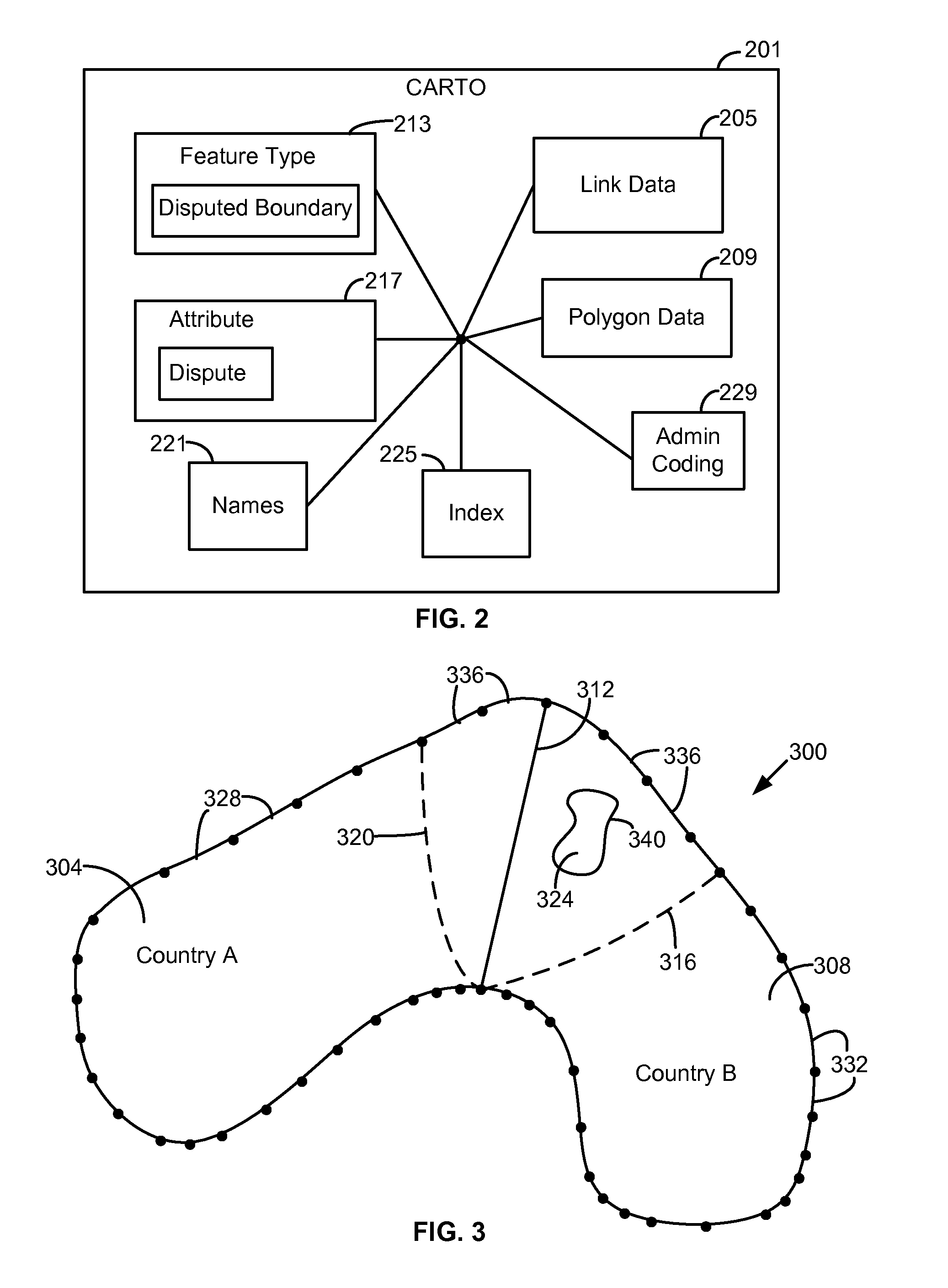
Systems, devices, features, and methods for collecting or storing data corresponding to disputed territories for a geographic database, such as for use with a navigation system, are disclosed. For example, one method comprises identifying a data record that represents a geographic feature of a disputed area. An indication of dispute may be assigned to the identified data record, in which the indication of dispute represents that the identified data record corresponds to a feature in dispute between multiple geographic entities. Another data record that represents a geographic feature in dispute may also be identified. The indication of dispute and / or the data records of the features may be stored in a geographic database.

Description

REFERENCE TO RELATED APPLICATIONS[0001]The present patent application is related to the copending patent application filed on the same date, Ser. No. ______, entitled “NAVIGATION SYSTEM AND METHODS REGARDING DISPUTED TERRITORIES,” Attorney Docket No. N0324US, the entire disclosure of which is incorporated by reference herein.BACKGROUND OF THE INVENTION[0002]The present invention relates to collecting, storing, and / or using geographic data and, more particularly, to providing geographic or navigation data corresponding to disputed territories.[0003]The use of maps and geographic information are prevalent in today's society. For example, geographic data may be used to navigate to a desired destination, to view an area of interest, to find specific points-of-interest (“POIs”), to educate oneself or others about regions and countries, and / or used for other purposes. Maps and geographic data thereof may be presented in a variety of formats and technologies.[0004]For example, navigation s...

Claims


Application Information

Patent Timeline
IPC IPC(8): G06F17/30
CPCG06F17/30241G06F16/29
Inventor WEILAND, MICHAEL L.PAINTER, JEFFREYDEMBSKI, MICHAEL P.TIELENS, BART
Owner HERE GLOBAL BV
Learn More