Navigation System and Methods Regarding Disputed Territories
a navigation system and territory technology, applied in the field of geographic data collection, storage and/or use, can solve problems such as complexity
- Summary
- Abstract
- Description
- Claims
- Application Information
AI Technical Summary
Problems solved by technology
Method used
Image
Examples
Embodiment Construction
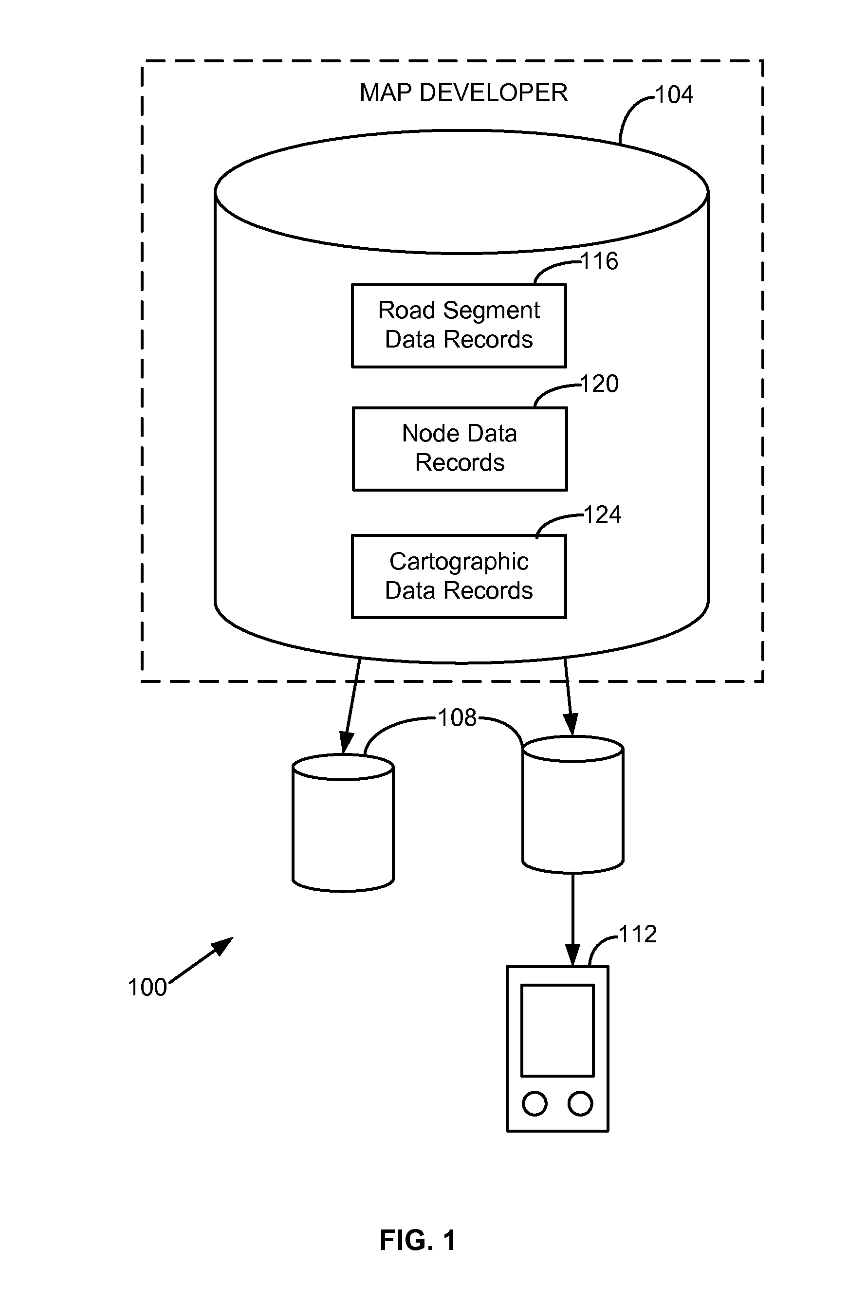
[0017]FIG. 1 shows one embodiment of a geographic data and / or navigation system 100 corresponding to disputed territories. The system 100 includes, but is not limited to, a geographic or navigation database 104, compiled navigation or geographic databases 108, and an end user device 112. Additional, fewer, or different components may be provided. For example, a processor, a server, a base station, transceiver and / or broadcasting components, a router, a switch or intelligent switch, computers or workstations, administrative components, a gateway device, a backbone, ports, network connections and / or components, and network interfaces may be provided.
[0018]The map or navigation database 104 may be a master geographic or navigation database that contains data that represent geographic features in a coverage area. The coverage area may correspond to an entire country, such as the United States. Alternatively, the coverage area may correspond to several countries, such as the United State...
PUM
 Abstract
Description
Claims
Application Information
 - R&D
- Intellectual Property
- Life Sciences
- Materials
- Tech Scout
- Unparalleled Data Quality
- Higher Quality Content
- 60% Fewer Hallucinations
Browse by: Latest US Patents, China's latest patents, Technical Efficacy Thesaurus, Application Domain, Technology Topic, Popular Technical Reports.
© 2025 PatSnap. All rights reserved.Legal|Privacy policy|Modern Slavery Act Transparency Statement|Sitemap|About US| Contact US: help@patsnap.com


