Apparatus and methods for multicomponent marine geophysical data gathering
a geophysical data and multi-component technology, applied in the field of marine geophysical exploration, can solve the problems of reducing the utility of recorded data, difficult to record data outside a selected bandwidth without excessive attenuation or notches, and not being practicable to trawl cables deeper
- Summary
- Abstract
- Description
- Claims
- Application Information
AI Technical Summary
Problems solved by technology
Method used
Image
Examples
Embodiment Construction
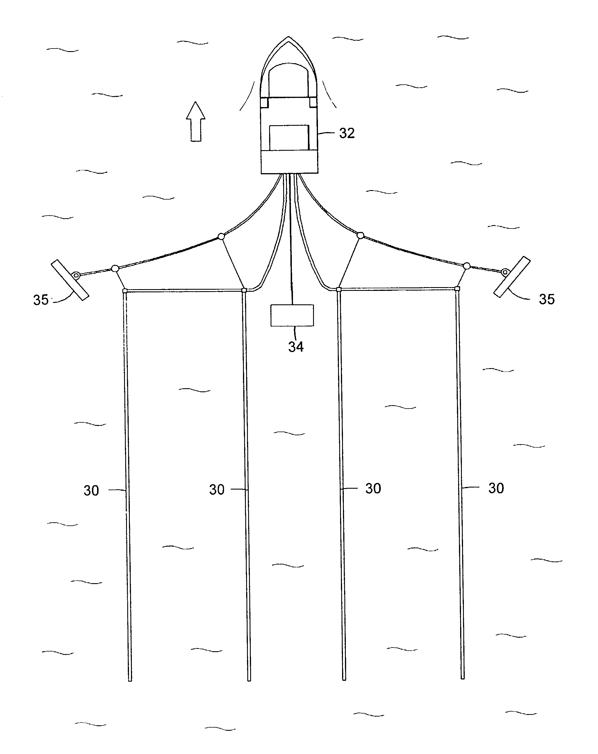
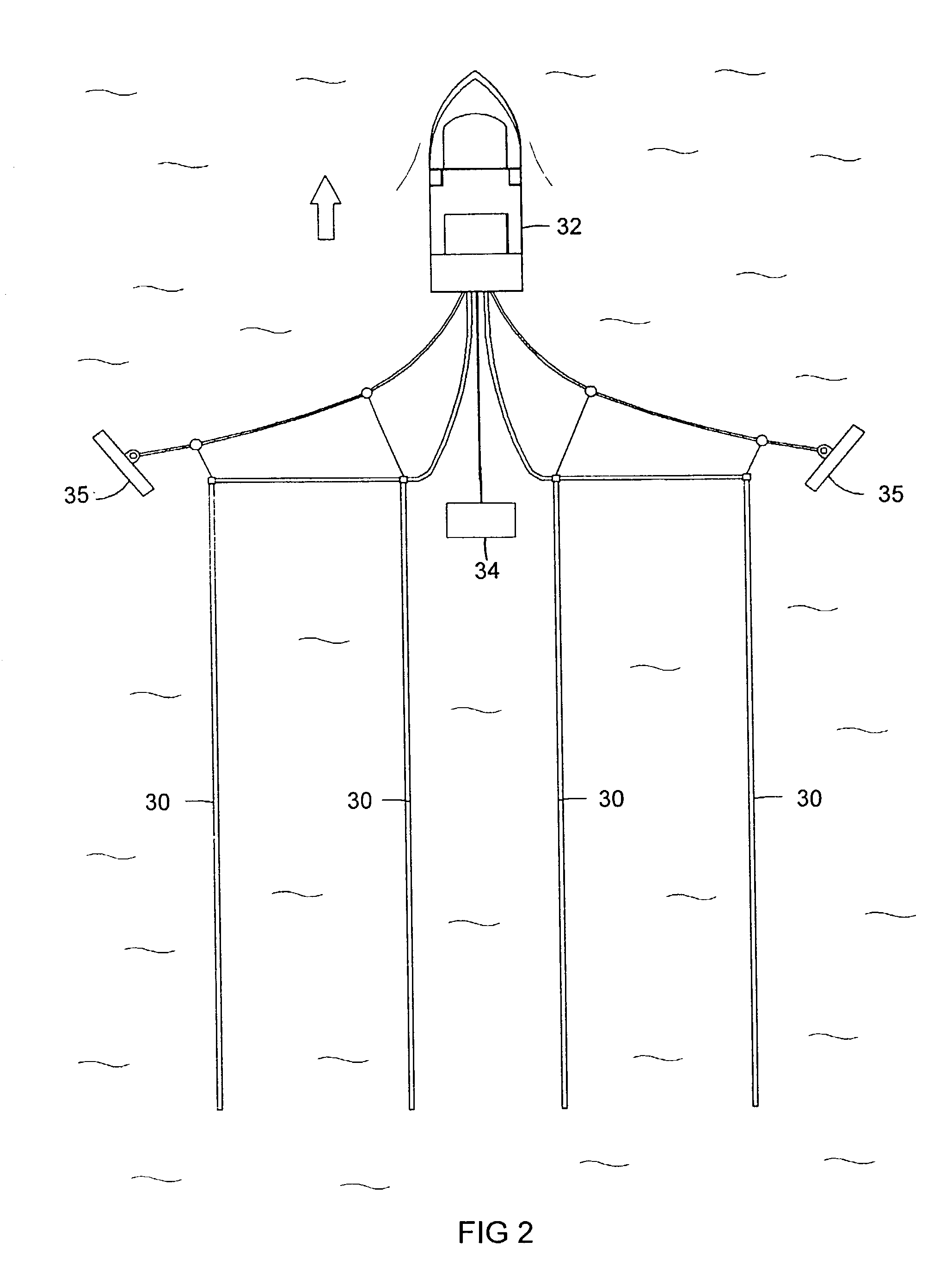
[0035] FIG. 2 illustrates a typical geophysical exploration configuration in which a plurality of streamer cables 30 are towed behind vessel 32. One or more seismic sources 34 are also normally towed behind the vessel. The seismic source, which typically is an airgun, but may also be a water gun or other type of source known to those of ordinary skill in the art, transmits seismic energy or waves into the earth and the waves are reflected back by reflectors in the earth and recorded by sensors in the streamers. Paravanes 35 are utilized to maintain the cables 30 in the desired lateral position. The invention may also be implemented, however, in seismic cables that are maintained at a substantially stationary position in a body of water, either floating at a selected depth or lying on the bottom of the body of water, in which case the source may be towed behind a vessel to generate shock waves at varying locations, or the source may also be maintained in a stationary position. Seismi...
PUM
 Abstract
Description
Claims
Application Information
 - R&D
- Intellectual Property
- Life Sciences
- Materials
- Tech Scout
- Unparalleled Data Quality
- Higher Quality Content
- 60% Fewer Hallucinations
Browse by: Latest US Patents, China's latest patents, Technical Efficacy Thesaurus, Application Domain, Technology Topic, Popular Technical Reports.
© 2025 PatSnap. All rights reserved.Legal|Privacy policy|Modern Slavery Act Transparency Statement|Sitemap|About US| Contact US: help@patsnap.com


