Computerized generation method for sunlight normalized distribution image on rough ground
A technology of direct sunlight and computer, applied in the field of remote sensing and geographic information system
- Summary
- Abstract
- Description
- Claims
- Application Information
AI Technical Summary
Problems solved by technology
Method used
Image
Examples
Embodiment Construction
[0027] The following is based on Figure 1 ~ Figure 3 A preferred embodiment of the present invention is given and described in detail so as to better illustrate the features and functional characteristics of the present invention, rather than to limit the scope of the present invention.
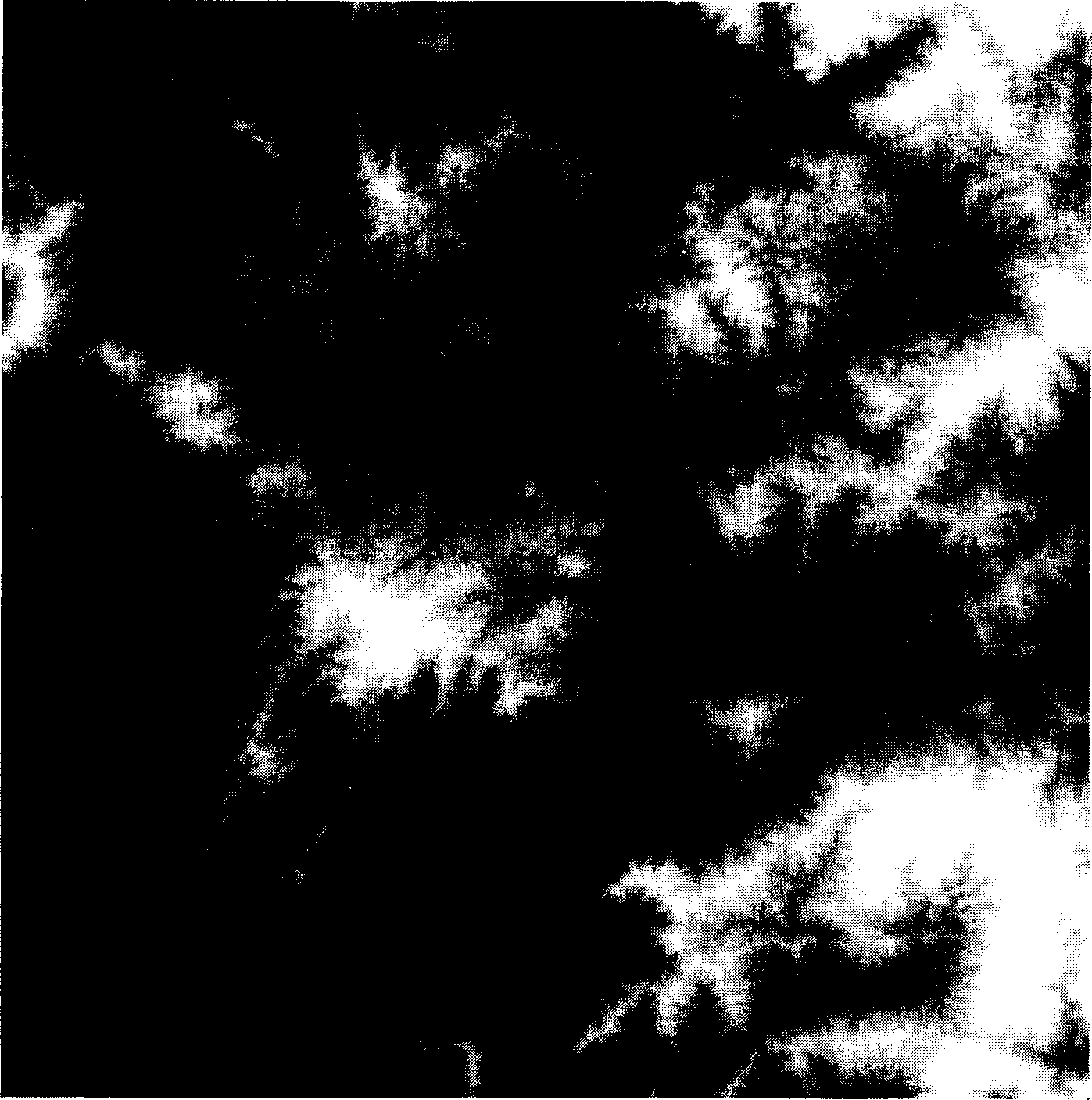
[0028] see figure 1 , which shows the satellite telemetry digital topographic map of the Longyan area in Fujian Province, China to be studied in this embodiment.
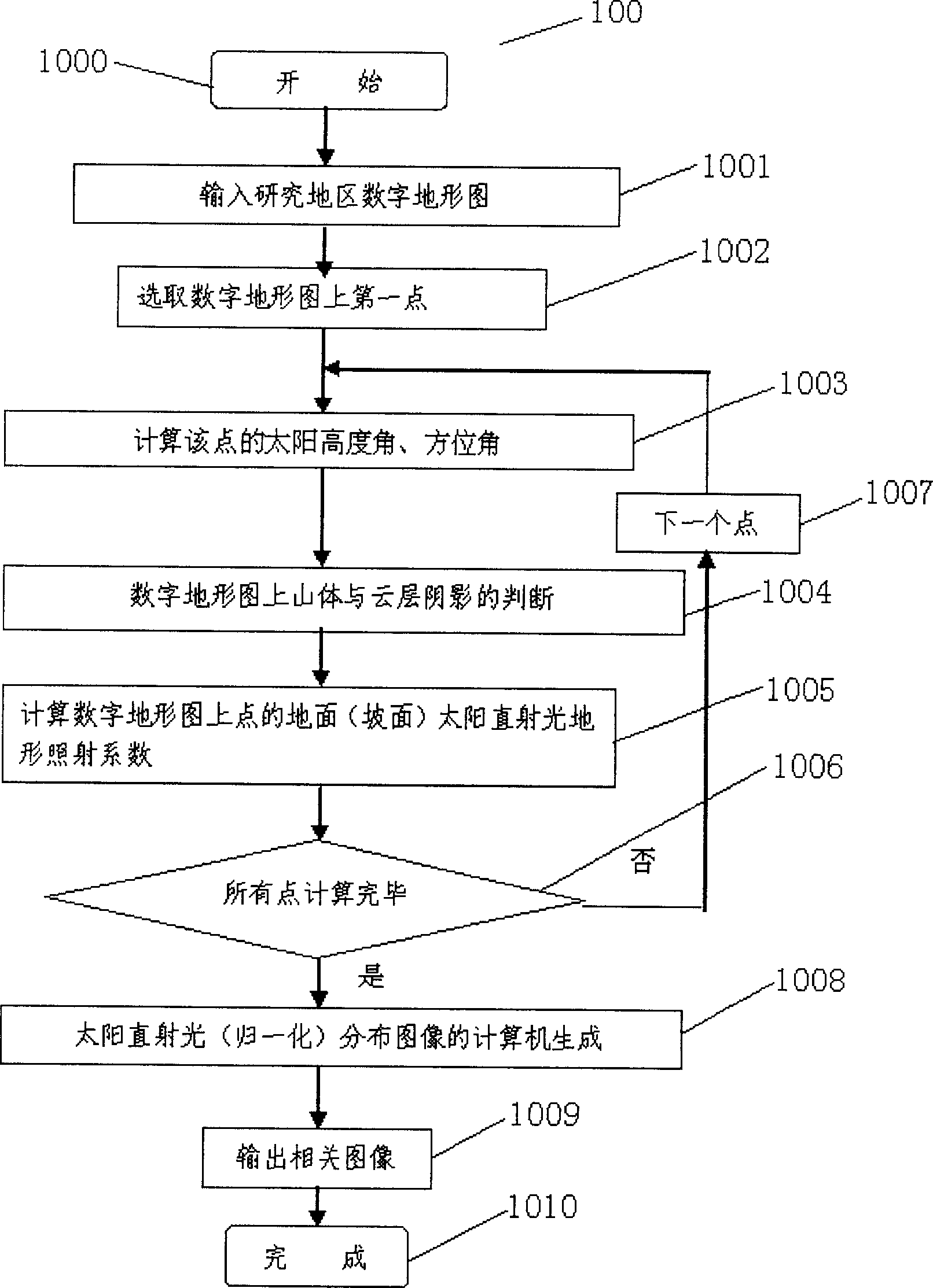
[0029] please participate figure 2 , step 1000, start the computer-generated program 100 of this embodiment residing in the GIS geographic information system, step 1001, input such as figure 1 The digital topographic map of the region to be studied in this embodiment is shown, and the registration adjustment is performed to determine the grid. Step 1002, the first point (grid) on the digital topographic map is selected. Step 1003 calculates the sun elevation angle, the azimuth angle of each point on the digital topographic map...
PUM
 Abstract
Description
Claims
Application Information
 - R&D
- Intellectual Property
- Life Sciences
- Materials
- Tech Scout
- Unparalleled Data Quality
- Higher Quality Content
- 60% Fewer Hallucinations
Browse by: Latest US Patents, China's latest patents, Technical Efficacy Thesaurus, Application Domain, Technology Topic, Popular Technical Reports.
© 2025 PatSnap. All rights reserved.Legal|Privacy policy|Modern Slavery Act Transparency Statement|Sitemap|About US| Contact US: help@patsnap.com


